Henri formed in a trough of low pressure that trailed behind
Tropical Storm Fabian. A low
pressure center developed along the trough north of Hispaniola on the
18th and drifted northwest
to the east of the Bahamas and northern Florida over the next 3
days. A high pressure system north
of Bermuda had been hampering its poleward progress. Late on the
21st, reconnaissance aircraft
found a tropical depression. The system intensified, becoming a
tropical storm early on the 23rd
about 100 miles offshore the Outer Banks of North Carolina. Upper
level winds increased from
the southwest, and Henri weakened thereafter, becoming a tropical
depression as it made its second
landfall near the Rhode Island/Connecticut border. Thereafter, it
became a frontal wave which
moved northeast across the tip of eastern Maine into the Canadian
Maritimes. Below are a
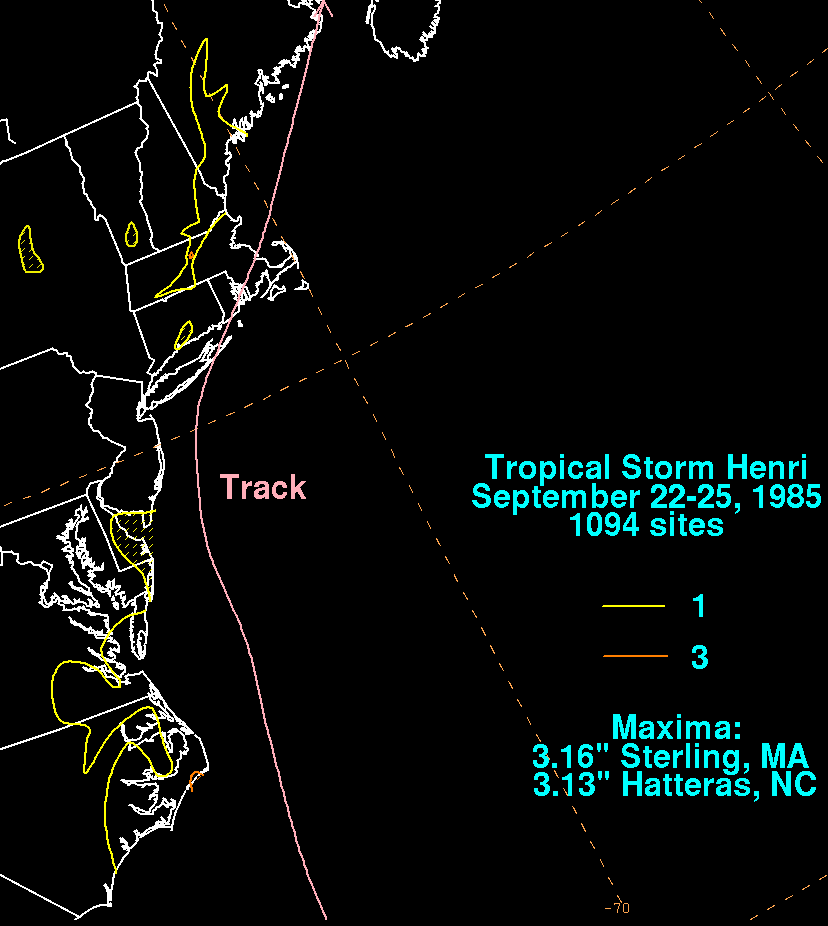
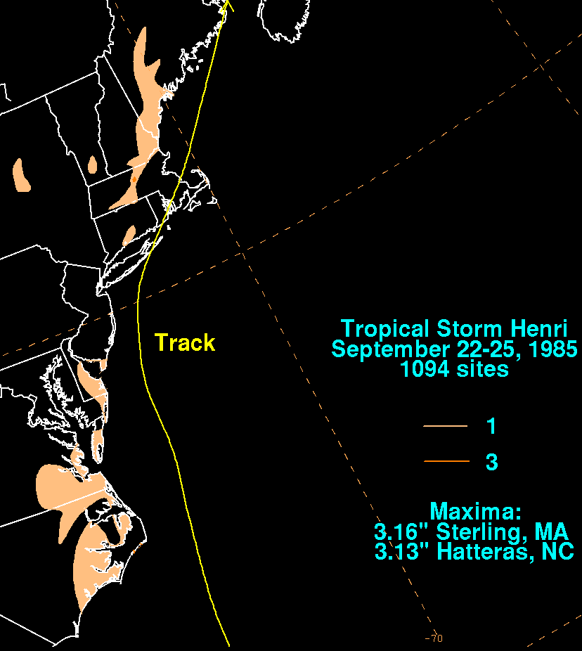
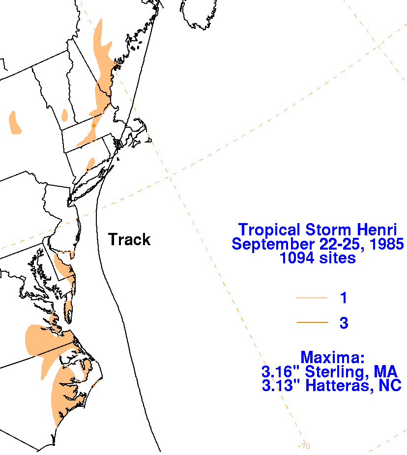
storm total rainfall maps for Henri. Rainfall
information was obtained from the National Climatic
Data Center. Rainfall amounts were very light across New
England, as there was no remaining
deep convection near the center of Henri as it trekked across the
region.
 |
 |
 |