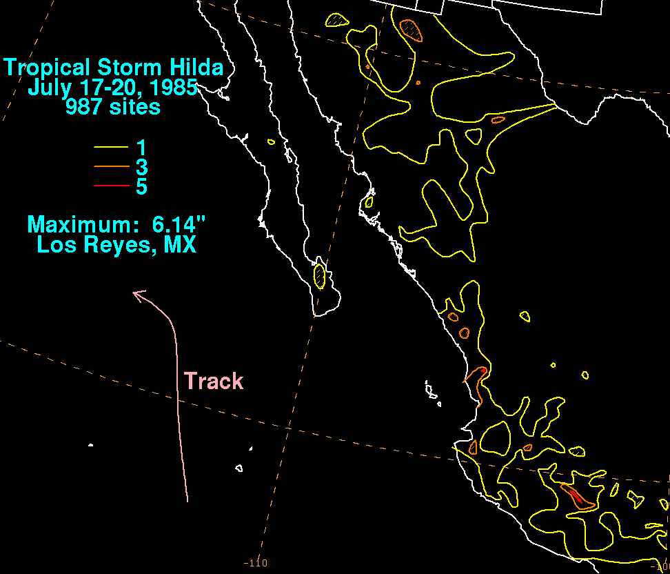
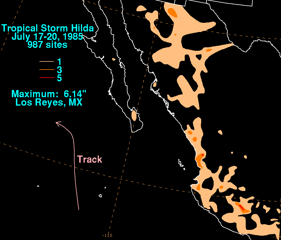
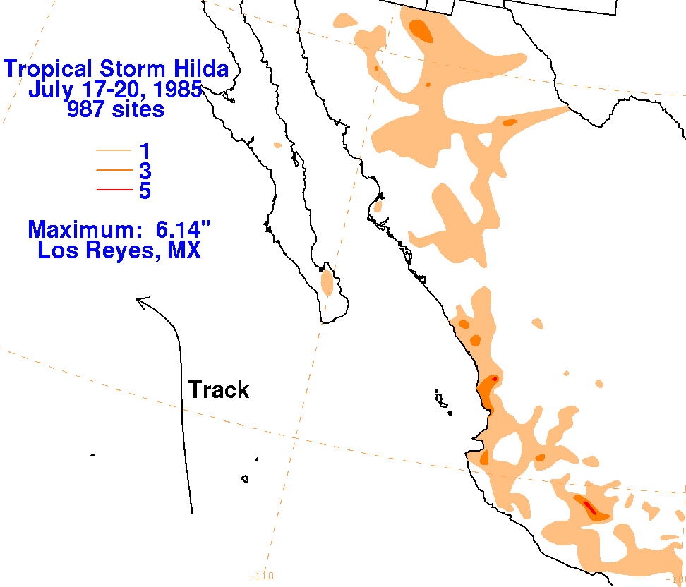
Once it became a tropical depression, Hilda was lured northward by an upper cyclone to its north. Once it
entered a col in the mid to upper level flow pattern, the subtropical surface high in the Pacific steered Hilda
on a more westward course, out into cooler waters north of the 21st parallel. The graphics below show the
storm total rainfall for Hilda, which used data from Mexico retrieved from the Comision Nacional del Agua,
the parent agency of Mexico's national weather service. The combination of an upper cyclone moving by
to Hilda's north and Hilda itself led to a surge in the monsoon across western Mexico, with Hilda's more
direct contribution seen near Manzanillo and southern Baja California.
 |
 |
 |