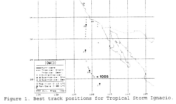
A large area of disturbed weather west of Mainland Mexico was seen
from August 14th
to 16th. There were different centers noted at various
times. A tropical depression formed
within this mass on the evening of the 16th about 450 miles southwest
of Cabo San Lucas.
Forming just south of the sea surface temperature (SST) gradient, an
upper trough steered
the system northward. Early on the 17th, Ignacio became a
tropical storm. On the 18th,
Igancio moved over cooler waters and weakened back into a tropical
depression. An
approaching mid-latitude disturbance led to a rejuvination of
convection, and Ignacio
became a non-tropical low. The system went inland into the
central California coast,
and led to record rainfall. The upper level remnant of this
system moved through the
Pacific Northwest into British Columbia by the 20th, and ultimately
into the extratropical
remnant of Guillermo. Below is the track of Ignacio, supplied by
the National Hurricane
Center.
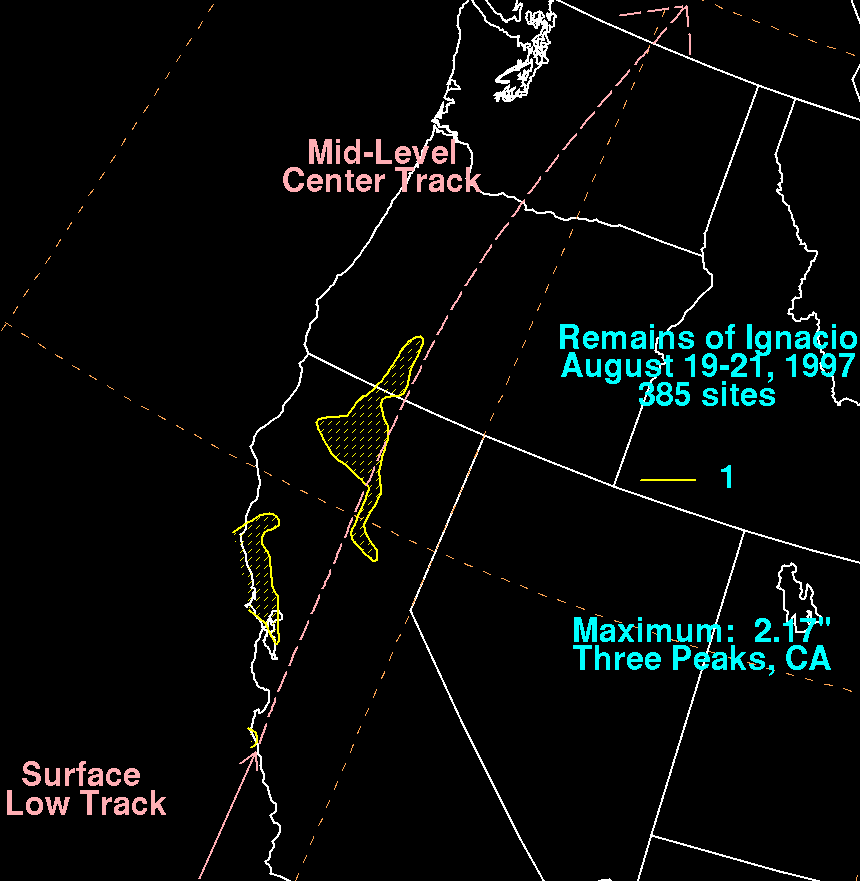
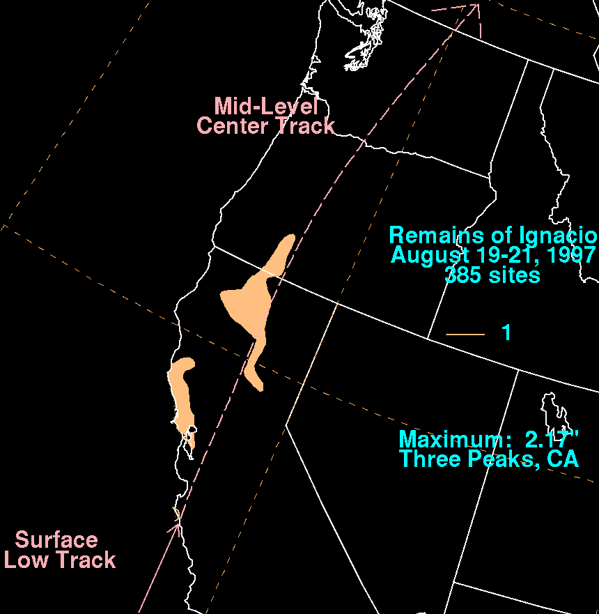
The graphic below show the storm total rainfall for Ignacio.
Note
the maxima near the point of landfall, and
across the Siskiyou Range of Northern California.
 |
 |
 |