Isidore formed at the western end of a stationary frontal zone near
the Bahamas. As a frontal wave,
gale force winds were reported on the afternoon of the 24th on the
north coast of Hispaniola.
Convection began to organize near the center, and the system had
converted to a tropical
depression on the 25th. As the system moved through the central
Bahamas, the depresssion
strengthened into a tropical storm. Isidore made landfall near
Jupiter, Florida as a tropical storm,
and moved through the Florida peninsula over the next 36 hours losing
little strength. It then
accelerated east-northeast ahead of a frontal zone on the 29th and
30th, losing its identity on the
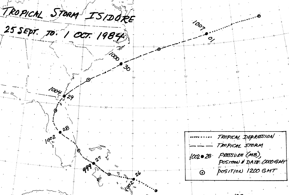
1st. Below is the track of this cyclone,
provided by the National Hurricane Center.
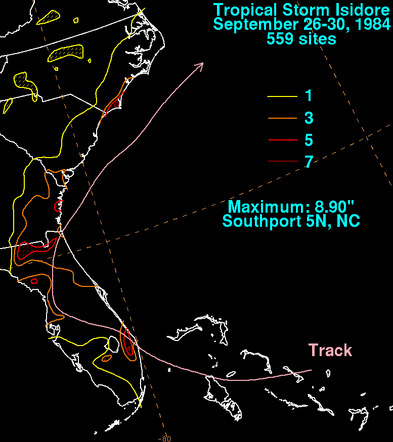
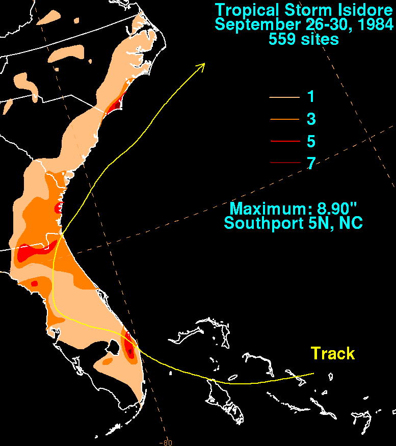
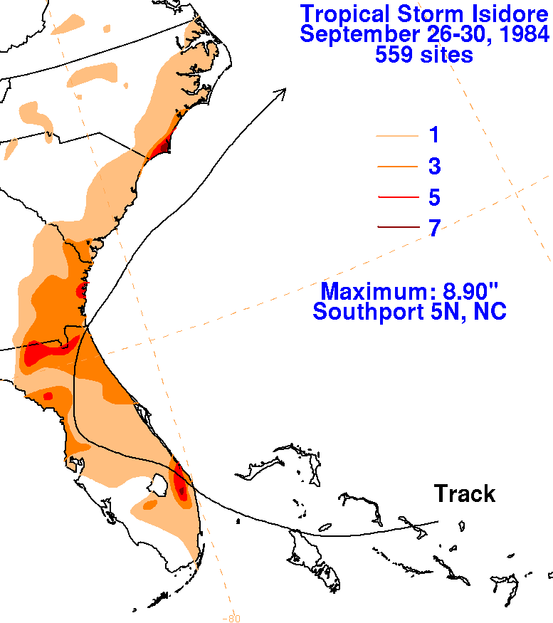
The graphics below show the storm total rainfall for Isidore.
Note
the maximum
along and just to the left/west of the track of the cyclone.
 |
 |
 |
