A cold front sagged into the southwestern Gulf of Mexico during the
29th and 30th of September.
An area of cloudiness and showers developed across the region.
A tropical wave traversing just
south of the area could have led to the increase in activity.
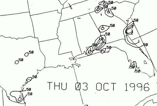
A broad area of low pressure formed
during the 1st and 2nd of October. By the 3rd, rains had begun
across southern Texas with this
cyclone. Tropical characteristics were unknown to the system
until the 3rd, when persistent
thunderstorm activity began to develop. Gale force winds lashed
the northern Gulf of Mexico
as the low developed, leading to coastal flooding.
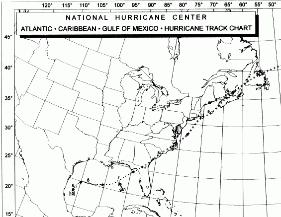
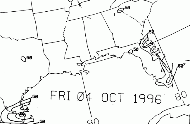
It moved north-northeastward until late on the 5th, when the
westerlies
began whisking the cyclone
off to the east and northeast. Winds nearly increased to
hurricane
force at the surface (oil rigs had
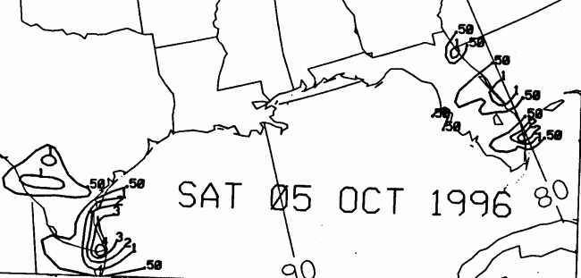
already been lashed with hurricane force winds for days) when Josephine
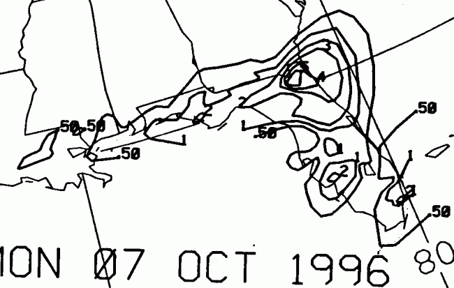
made landfall along the
coast of Apalachee Bay on the 7th. As an extratropical cyclone,
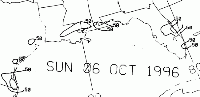
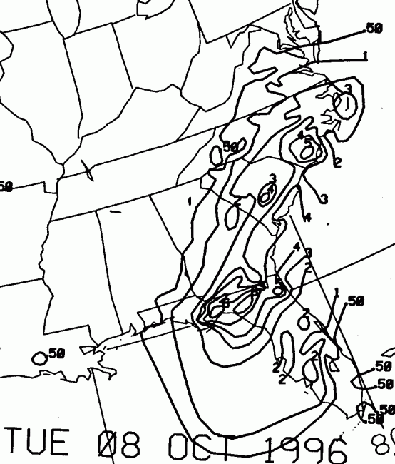
Josephine tracked just inland of the
Southeast coast, emerging into the Atlantic on the 8th. Brushing
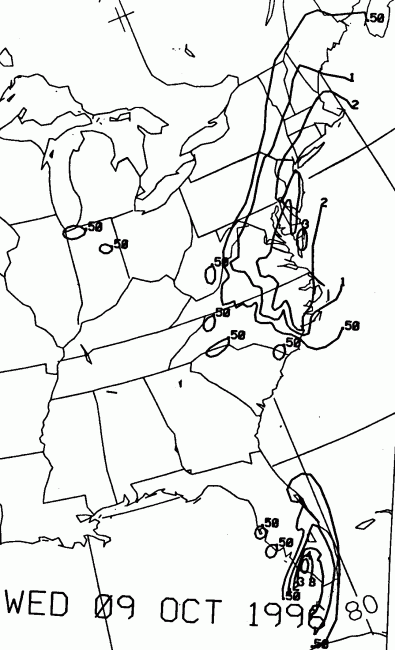
by Cape Cod, the storm moved
across the Maritime Provinces of Canada on the 9th, and out into the
open North Atlantic.
Its track lies below.
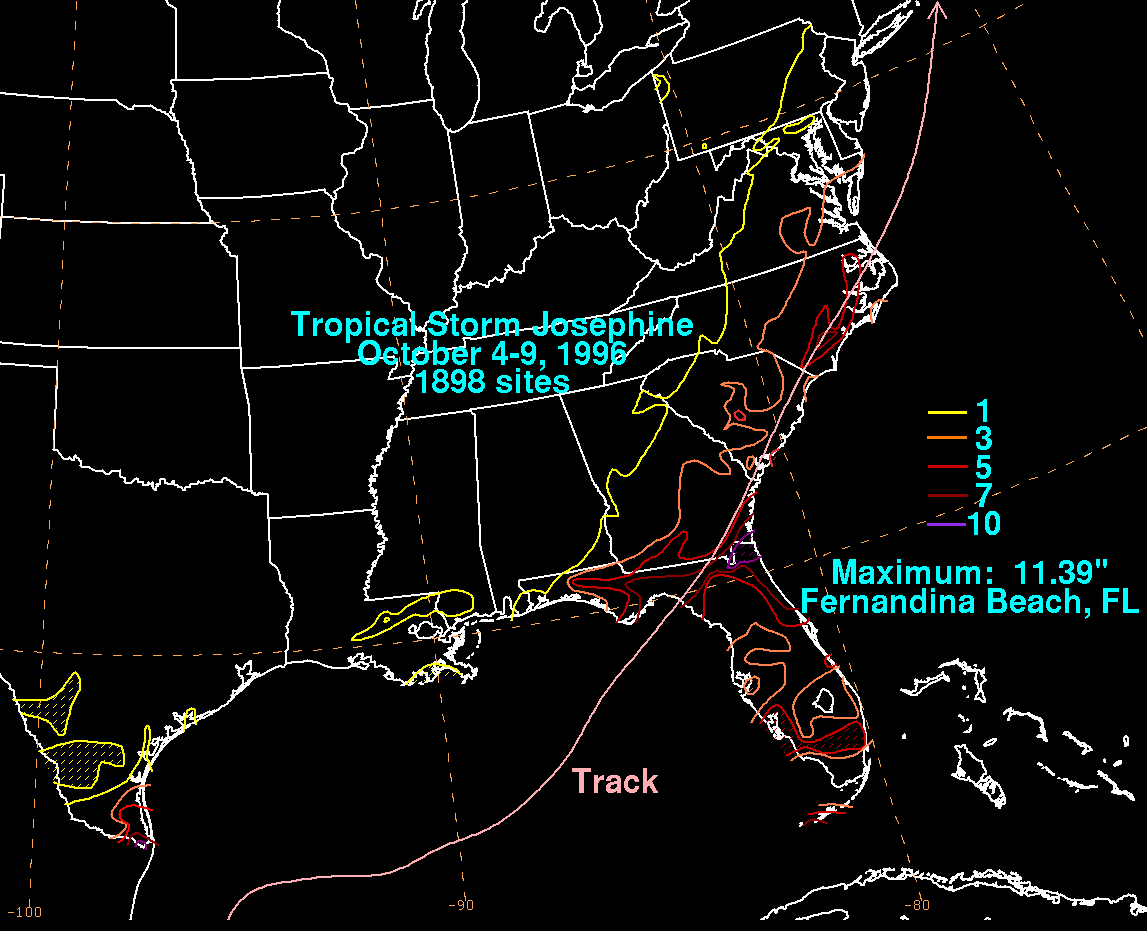
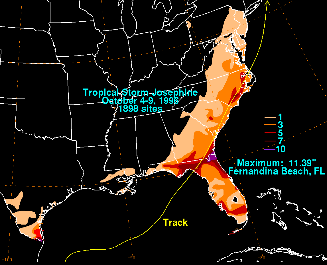
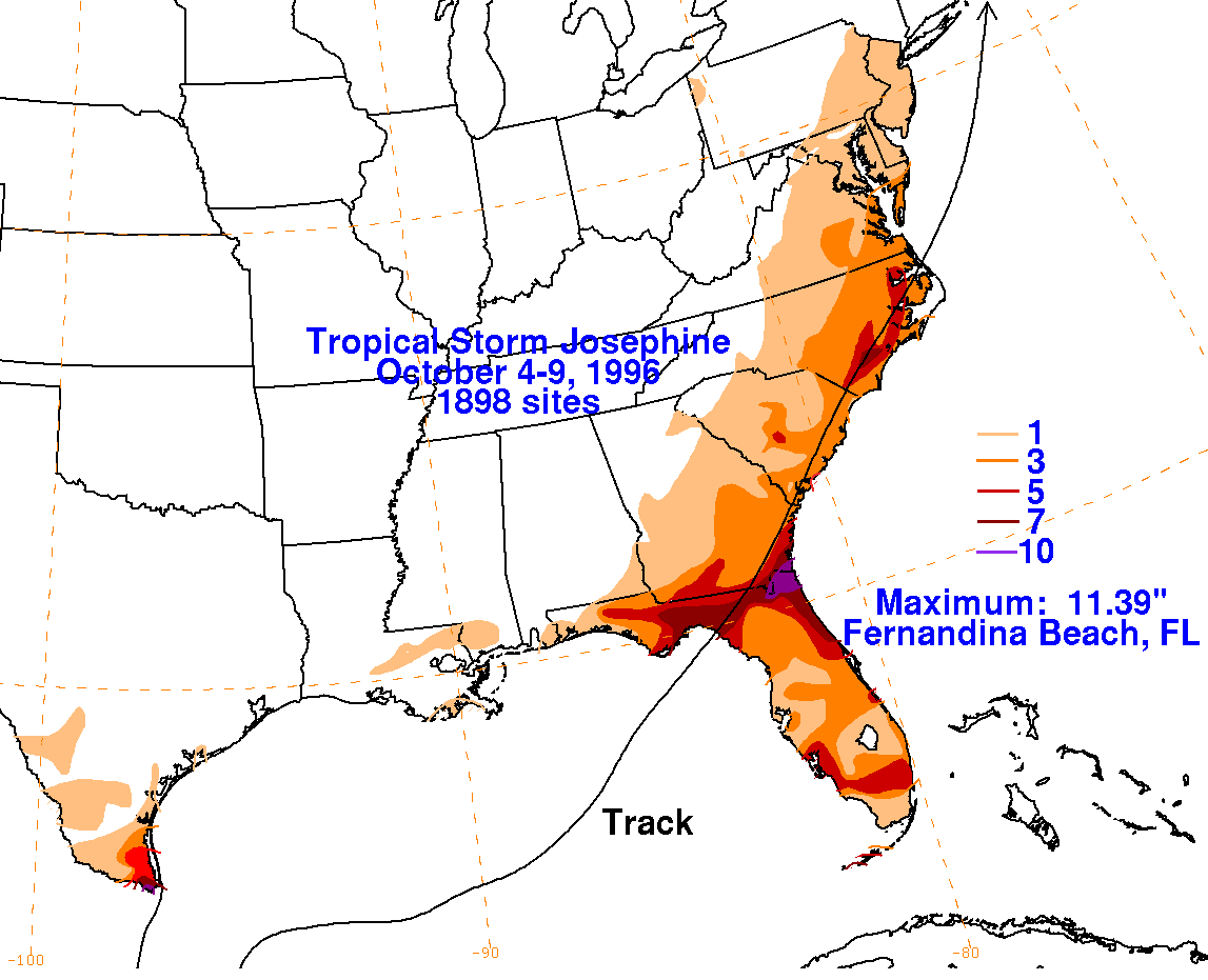
Below is the storm total rainfall map for Josephine. Note the
maxima where the easterly flow was strongest
for the longest periods of time, in southern Texas and northeastern
Florida.
 |
 |
 |
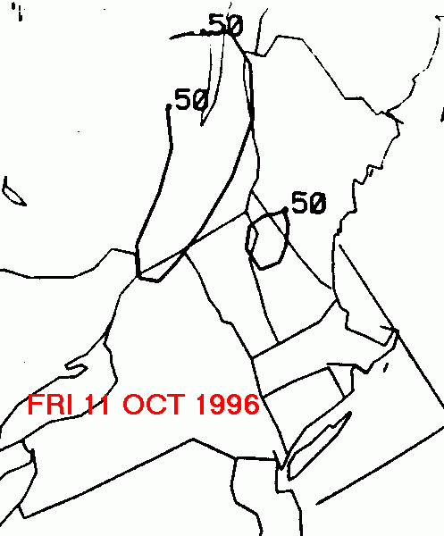
Below is the calendar for Daily Precipitation Maps. Note that
the 24-hour periods end
at 12z that morning.