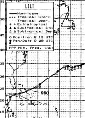
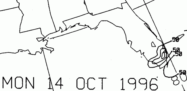
A tropical wave that emerged off the coast of Africa on the 4th
interacted
with an area of low pressure
in the southwest Caribbean sea on 13th. It developed into a
tropical
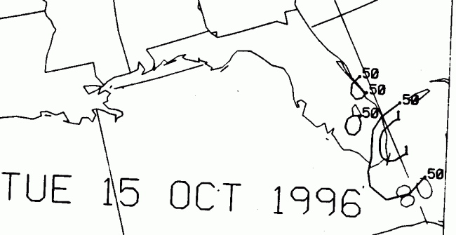
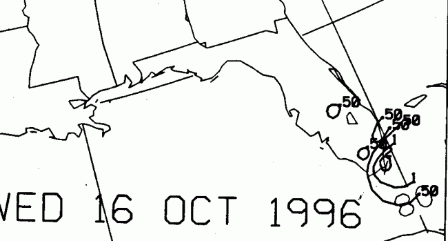
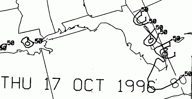
depression on the 14th, a tropical
storm on the 16th, and a hurricane by the 17th. Moving
erratically
north, then northeast, Lili moved
across the isle of Cuba overnight on the 17th/18th. From the
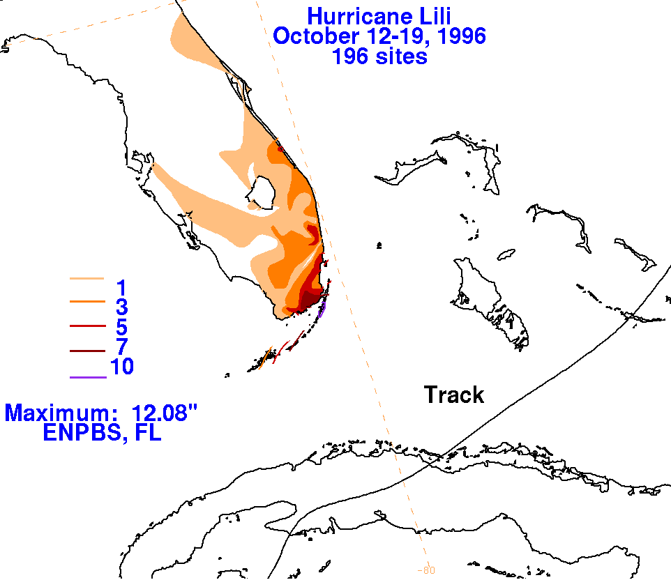
12th through the 18th, rains were focused in
south Florida along a trough extending northeastward from Lili.
Accelerating east-northeast ahead of an
advancing cold front, Lili moved across the Bahamas overnight on the
18th/19th, remaining far off the
Eastern Seaboard and to the south of Bermuda. Its track lies
below.
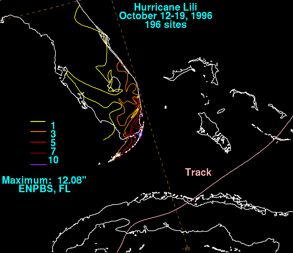
The storm total map is shown below. South Florida Water
Management
District Data was used in
addition to data from the National Climatic Data Center. Most of
the rainfall fell well in advance of
the hurricane's closest approach along a frontal boundary.
 |
 |
 |
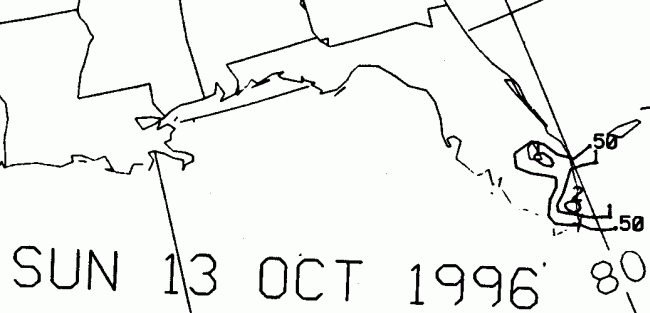
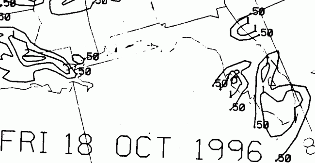
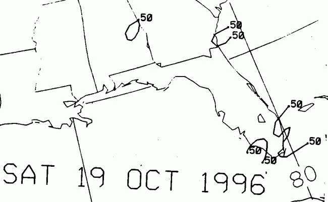
Below is the calendar for Daily Precipitation Maps. Note that
the 24-hour periods end
at 12z that morning.