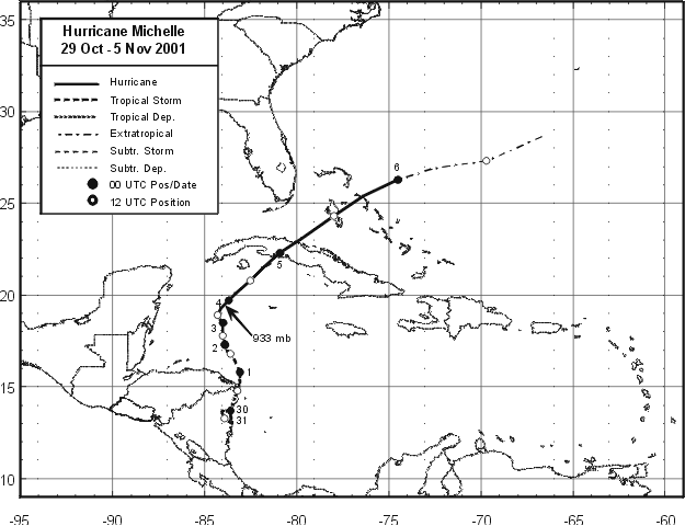
The origin of Michelle was a tropical wave that moved westward
across the coast of Africa on October 16th.
The wave crossed the Atlantic to the Lesser Antilles by the 23rd.
Associated
shower activity increased on
the 26th when the wave reached the western Caribbean, and a broad low
pressure area formed near the coast
of Nicaragua the next day. A gradual increase in organization followed,
and an Air Force Reserve Hurricane
Hunter aircraft found that the system had become a tropical depression
around noon on the 29th over the coast
of Nicaragua, between Puerto Cabezas and Bluefields (Table 1 and Figure
1).
The depression meandered over eastern Nicaragua for the next 36
hours.
A slow north-northeastward motion
that began early on the 31st brought the center back over the Caribbean
waters later that day. The system
developed and became Tropical Storm Michelle on the evening of the
31st. Michelle moved slowly north-
northwestward on the 1st and became a hurricane on the 2nd. Rapid
intensification
then occurred, with
Michelle becoming a major hurricane early on the 3rd.
Michelle turned slowly north-northeastward and reached category four
intensity on the morning of the 4th while
accelerating northeastward. This motion brought the center of Michelle
into southwestern Cuba early that
afternoon, which disrupted its eye, in combination with increasing
mid- to upper- level southwesterly flow. This
led to the cyclone gradually becoming nontropical on 5 November while
it accelerated northeastward through
the Bahamas. Michelle became a vigorous extratropical cyclone
that evening. Its track lies below.
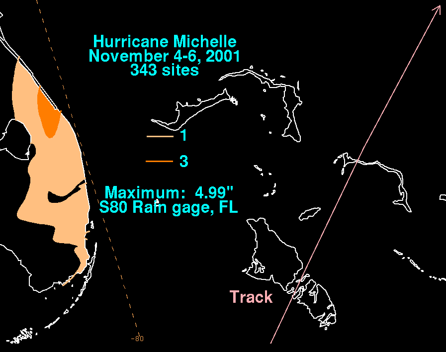
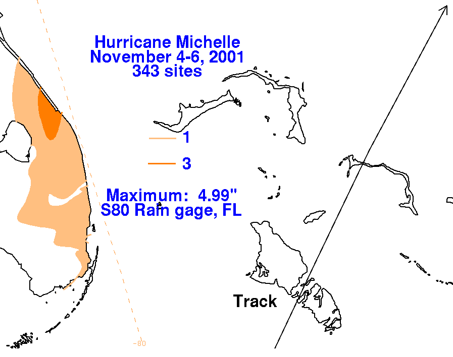
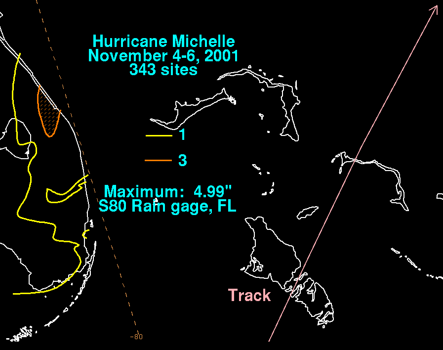
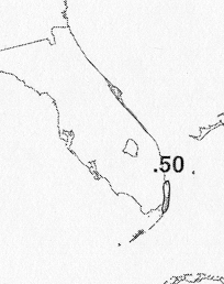
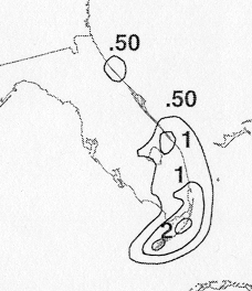
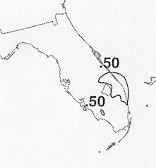
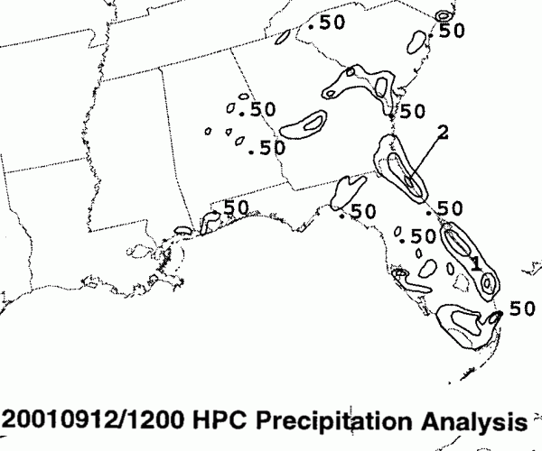
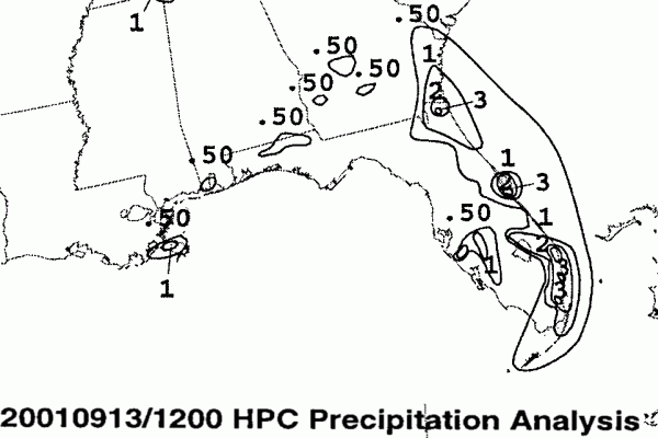
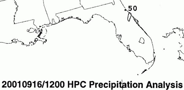
Below are the storm total precipitation maps for Michelle which
brushed by
southern Florida.
Maximum amounts were noted near Vero Beach, due to rainfall from its
comma head.
|
|
 |
 |
Below is the calendar for Daily Precipitation Maps. Note that
the 24-hour periods end
at 12z that morning.