This system evolved from a tropical disturbance noted 400 miles southeast of Acapulco on the afternoon of August
29th. The system moved westward and developed into a tropical depression on the 30th. Modest strengthening
ensued, and the cyclone became a tropical storm that evening and a hurricane on the evening of the 31st as it turned
to the west-northwest. Late on the night of the 1st Norman became a major hurricane with a 40-mile wide eye, and a
nearby ship reported seas of 41 feet. The center grazed the northeast side of Socorro Island on the afternoon of the 2nd.
Moving over cooler waters west of Baja California, the cyclone slowly weakened. By early on the 4th moisture from
the hurricane spread north into California initiating rains in the Golden State. A developing trough to its west caused
the initial influx of moisture and Norman's turn to the north as a weakening tropical storm. Eventually turning north-
northeast towards southern California, the cyclone weakened to a tropical depression as it passed the 30th parallel.
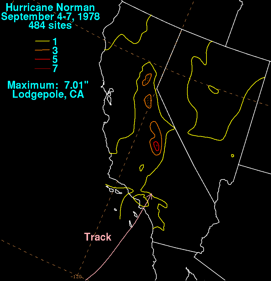
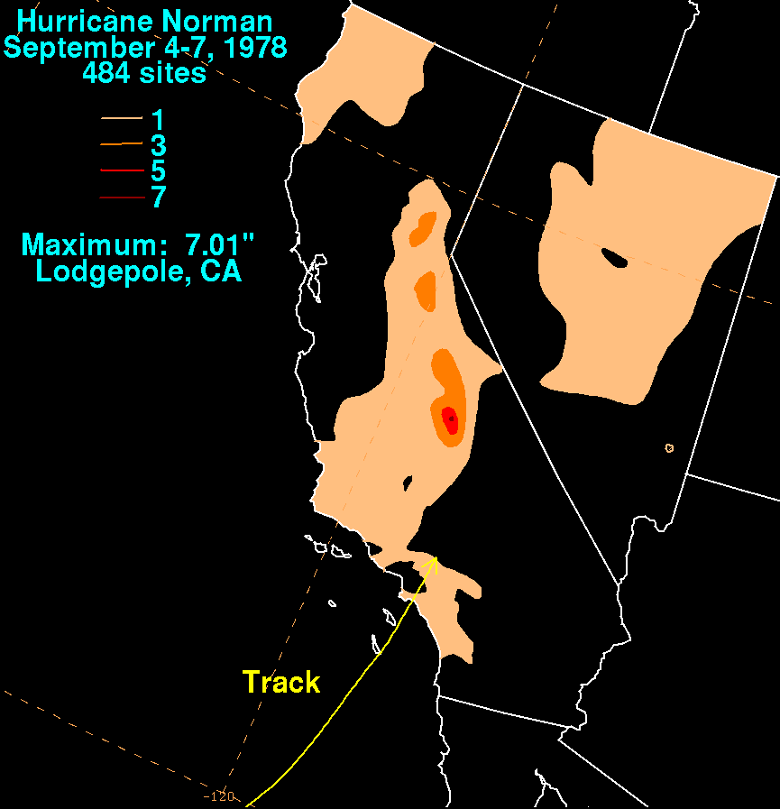
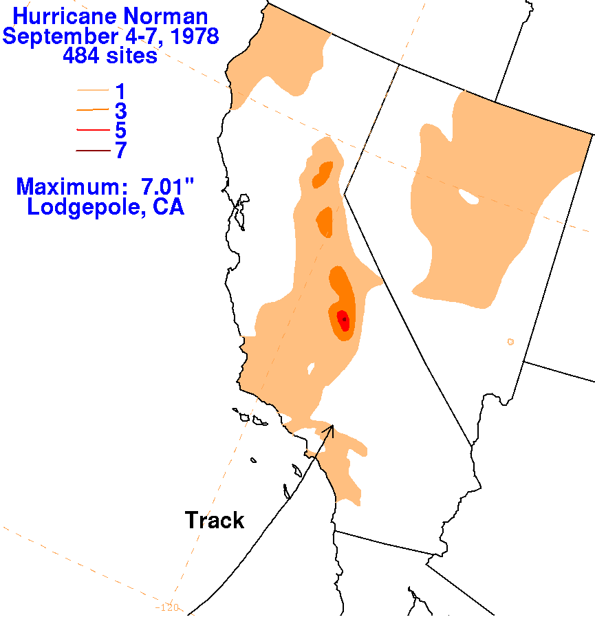
The system moved inland as an extratropical cyclone, which is a likely explanation for why the maximum rains
fell to the left of its track. The storm total graphics lie below for Norman. Rainfall data was gathered from the
National Climatic Data Center in Asheville, NC.
 |
 |
 |