An active tropical wave crossed northern Central America and southeast Mexico from October 22nd into the 23rd. The system
organized quickly, becoming a tropical depression on the 24th and a tropical storm on the 25th as it moved northward
through the western Gulf of Mexico, lured in that direction by a deep upper trough across the southern Plains which also
displaced convection to the northeast portion of its circulation. An incoming cold front ahead of the upper trough
caught up with Olga's circulation soon after it was named, rendering the cyclone as post-tropical (extratropical). The
low moved north-northeast through the central Gulf coast, moving through the Mississippi Valley and Great Lakes before
dissipating in southern Quebec.
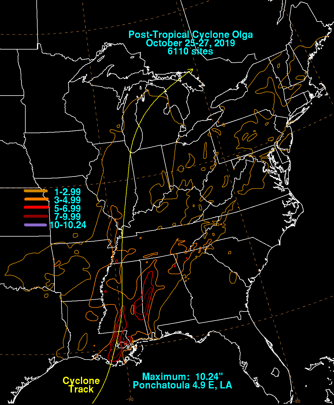
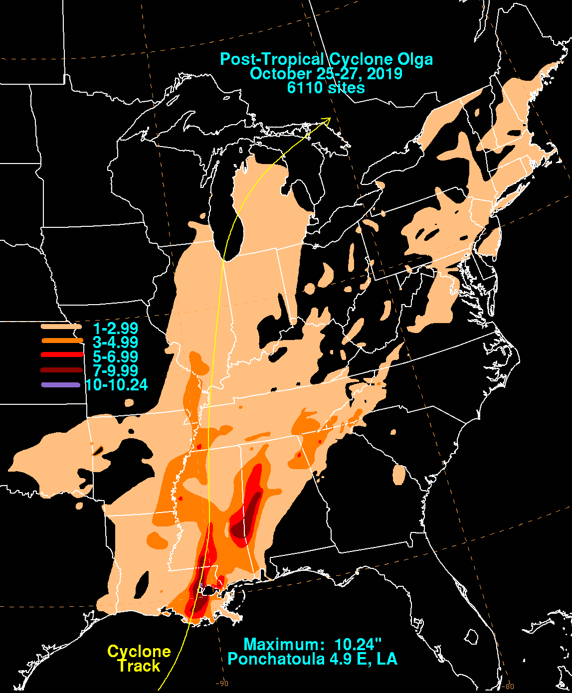
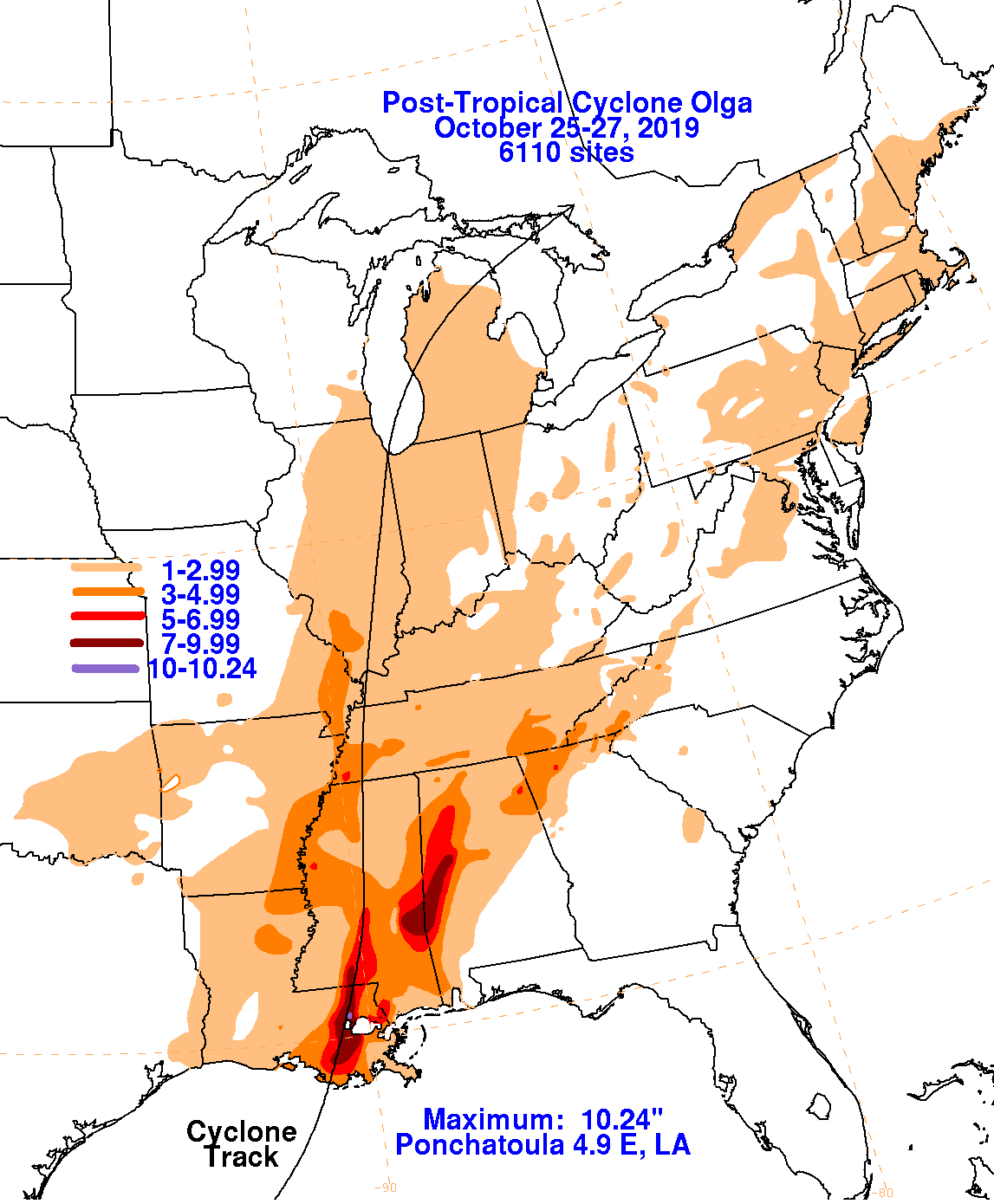
The graphics below show the storm total rainfall for Olga, which used rain gage information from the National Weather
Service River Forecast Centers, Forecast Offices, and CoCoRAHS.
 |
 |
 |