|
|
Historic Surface Analysis Archive
For years prior to 2006
Click here for WPC surface maps newer then 2006
| Provided here is an extensive archive of historic surface analyses beginning in 1879 scanned from the NOAA Library located in Silver Spring, Maryland. Due to the fact that these were hand drawn and scanned, clarity is not guaranteed. To choose your analysis of choice, please use the following form to submit your request. Your selection will display in a new window or tab. Surface maps for both North America and the Northern Hemisphere are available. Click below for an example of what your chosen map might look like. |
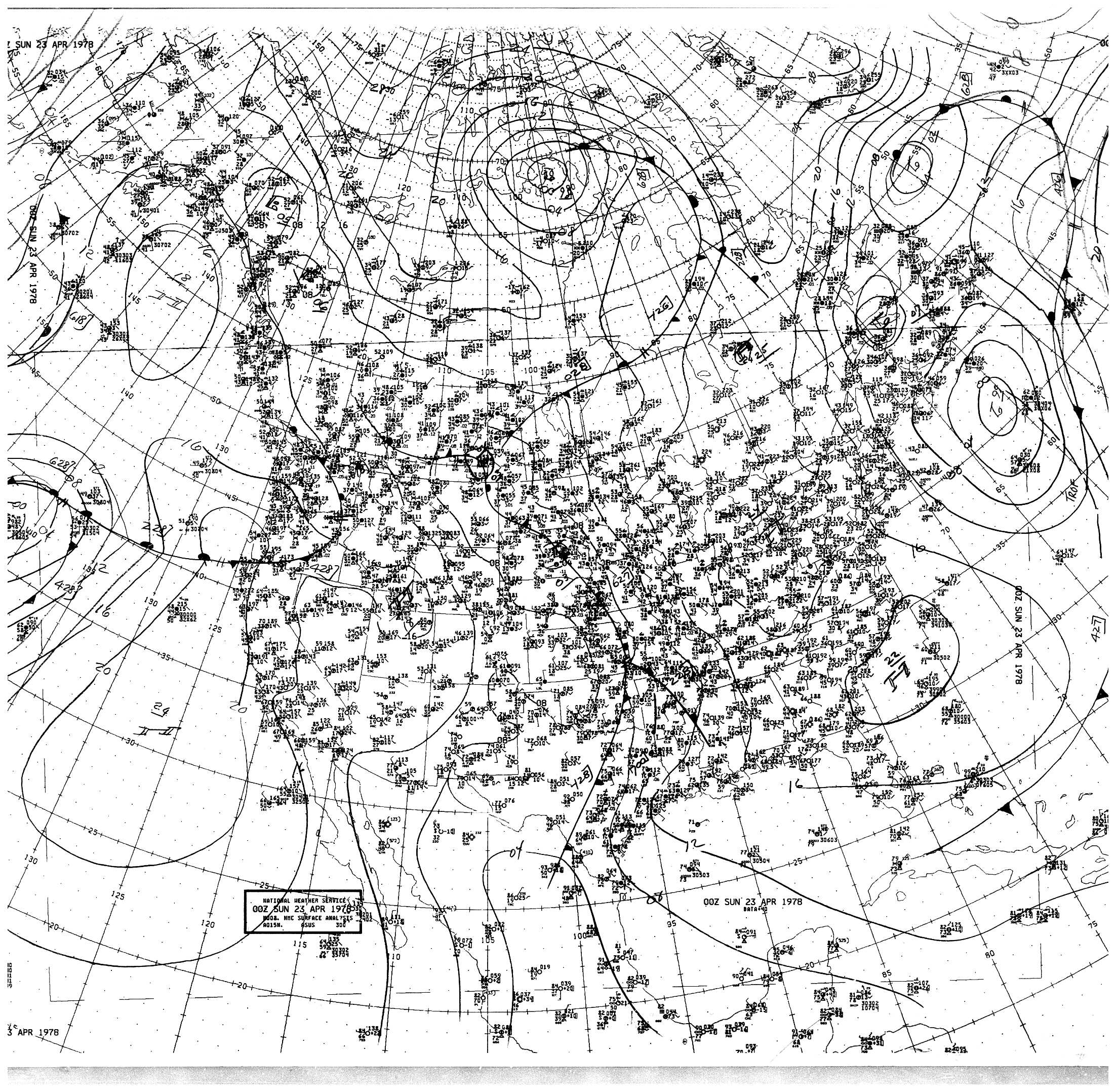
Click the graphic to view an example
of the North American Analysis
|

Click the graphic to view an example
of the Northern Hemisphere Analysis
|
| Please choose the desired date, time, and map type from the archive: |
To choose an analysis, please use the following form to submit your request.
(Please note: This is a non-operational webpage which is only being updated periodically. Currently only maps from 1978 and 1979 are available. Some dates and times may be unavailable.) |
|
|
|
|


