Probabilistic Heavy Snow and Icing Discussion
NWS Weather Prediction Center College Park MD
239 AM EST Sun Nov 30 2025
Valid 12Z Sun Nov 30 2025 - 12Z Wed Dec 03 2025
...Great Lakes to the Interior Northeast...
Day 1...
The major winter storm plaguing the Upper Midwest will wane as the
parent shortwave de-amplifies into a positive tilt and becomes more
embedded in the westerlies across Canada. This will cause a more
rapid progression of the driving low pressure, leading to moderate
continued snow accumulations across the Great Lakes, and expanding
across the higher terrain of the interior Northeast.
The surface low is progged to track from the L.P. of Michigan this
morning into the Canadian Maritimes by Monday morning /end of D1/.
This will result in two areas of additional snowfall accumulation.
The first is expected across the Great Lakes as NW flow develops in
the wake of the surface low. While brief deformation snow is likely
as the low departs Michigan, most of the additional snowfall is
likely to be of the lake effect snow (LES) variety as CAA
strengthens across the lakes. 850mb temps falling to -10C or lower
will support steep lapse rates and inversion depths rising to
around 800mb to support at least a brief period of heavy LES with
rates exceeding 1"/hr (40-60% chance from the HREF). The most
likely belts of heavy LES D1 will be across the eastern U.P., the
northern L.P., SW MI, and then east of Lake Ontario. In these
areas, WPC probabilities are 50-70% for more than 4 inches, with
locally as much as 8 inches east of Lake Ontario.
The other area of heavy snow from this system will be across the
higher terrain of Upstate NY and Northern New England. WAA
expanding northward downstream of the surface low will spread into
Canada, drawing a narrow column of moisture from the Gulf to cause
expanding precipitation in New England. The WAA is impressive but
transient, and regional forecast soundings suggest persistent mid-
level dry air which will somewhat preclude precipitation rate
intensity. Additionally, the cold high pressure over the region
early will rapidly retreat east, leading to funneled southerly
flow with no cold air entrenchment. This suggests that the heaviest
snow will be confined only to the higher terrain of the
Adirondacks, Greens, and Whites, where WPC probabilities are
moderate (30-50%) for 4+ inches of snowfall.
...Central Rockies/Four Corners...
Days 1-2...
A closed 500mb low dropping out of the Interior Northwest will move
progressively southeast today while opening into a positively
tilted trough. The base of this feature will reach the Four Corners
Monday morning before continuing to eject into the Central Plains,
and the overlap of height falls with an amplifying jet streak will
produce large scale ascent across the Central Rockies and Four
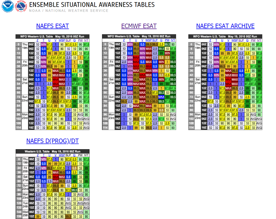
Corners today. Available moisture is somewhat scarce (PWs only
around 0.25" and around the 10th percentile according to NAEFS) but
the impressive, albeit transient, deep layer lift will overcome
that to produce a swath of heavy snowfall. Snow should begin across
the Great Basin this morning, but intensify in response to better
lift aided by upslope flow over the Wasatch/Uintas this afternoon,
and then the CO Rockies/San Juans/Sangre de Cristos this evening
and tonight. Snow should end early Monday morning. WPC
probabilities suggest a high risk (>80% chance) of more than 6
inches across most of these mountain ranges, with snow levels
generally 4000-5000 ft.
...Central Plains & Ozarks through the Northeast...
Days 2-3...
...Widespread impactful snow and ice likely, but uncertainty with
respect to timing and track remains...
A complex evolution of mid-level features will create the first
widespread winter precipitation event from the Ohio Valley into the
Appalachians, Mid-Atlantic, and Northeast. However, uncertainty
remains considerable at this time range and model guidance
continues to feature a variety of solutions which will affect the
accompanying impacts.
This system will develop initially in response to a shortwave
diving out of the Central Rockies Monday afternoon, and this
feature is expected to become neutrally tilted as vorticity lobes
swing through its base by the time it reaches the Ohio Valley
Tuesday morning. Thereafter, the shortwave tracks rapidly east
while maintaining its modest amplitude, exiting New England by 12Z
Wednesday. The global guidance has come into much better agreement
this morning with the progged evolution, maintaining a flatter and
faster wave, and in general, this upper pattern does not
conceptually support a widespread significant snowfall.
However, there are caveats that may make this a bit more
impressive than it would otherwise appear at 500mb. This is
primarily due to the amplification and phasing of upper jet
streaks: one amplifying downstream of the shortwave and a second
subtropical jet streak emerging from Mexico. The interaction of
this jet energy is progged to occur across the Mid-Mississippi
Valley Monday night, with the strengthening result then arcing
poleward through Tuesday to provide more impressive lift both
through the RRQ and LFQ. The strengthening jet streak will provide
sufficient upper ventilation, in conjunction with the mid-level
height falls, to produce surface cyclogenesis along the Gulf Coast
Tuesday morning, with this low then deepening as it tracks rapidly
northeast to off the coast of the Carolinas and then towards the
40/70N benchmark. The SLP trends of the various ensemble camps
have been for a faster solution with also some latitudinal gain,
suggesting this will not be a heavy snow event for the I-95
corridor, which is supported by an unfavorable surface high
position as well, but could still cause impactful wintry
precipitation across a large area.
As the synoptics intensify and the surface low moves east,
increasing WAA on a 30-50 kts 850mb LLJ will spread northward
leading to an expansion of precipitation. Where this interacts with
the strengthening jet streak, a stripe of heavy banded
precipitation is likely, which will fall as snow in many areas.
The first band is expected Monday into Monday night from the
Central Plains through the Ohio Valley where the ageostrophic
response to the LFQ of the upper jet will help intensify 700-600mb
fgen, crossing directly the deepening DGZ (SREF DGZ 50mb depth
probabilities > 50%). This should produce a stripe of heavy snow
rates from KS through the Ohio Valley, and although the band will
be progressive, WPC probabilities indicate a moderate risk (50-70%
chance) for at least 2 inches from central KS through eastern OH,
with locally higher amounts of 4+ inches possible (10-30%) aided by
fluffy SLRs. South of this band, increasing moist isentropic
ascent atop the retreating cold air will result in an axis of
freezing rain across the Ozarks where WPC probabilities are modest
(10-30%) for at least 0.1" of ice accretion, highest in central AR.
Then, during D3 /12Z Tue to 12Z Wed/ the moist isentropic ascent
maximizes leading to widespread heavy precipitation along and ahead
of the strengthening low pressure system. With the surface high
retreating and a lack of mid-level confluence to lock in cold air,
many areas of the Mid-Atlantic into the Northeast will begin as a
brief period of mixed precip, but should quickly change to rain
Tuesday morning, especially along and east of I-95. Inland,
however, the strong WAA, especially in the 850-700mb layer, will
result in front end heavy snow, most likely from Kentucky northeast
into interior New England. There is still uncertainty into how far
north the warm air will spread to cause changeover, but
significant snow accumulations are likely as reflected by WPC
probabilities that have increased, and now suggest a greater than
70% chance for 4+ inches of snow from the Poconos through Downeast
Maine. Locally more than 8 inches is possible, most likely in the
higher terrain of central New England. It is prudent to note that
while most of the guidance does not support an I-95 snow event, the
ECMWF AIFS ensemble, and even to some degree the EFI, suggest some
heavier snow farther south than most of the other camps, which
could bring more impactful weather to I-95 and is worth continuing
to monitor.
Finally, south of the heavy snow and across the terrain of the
Southern and Central Appalachians, a period of light to moderate
freezing rain is likely which could cause impactful ice
accretions, especially in the higher terrain. Current WPC
probabilities are as high as 30-50% for 0.1" of ice, with local
amounts approaching 0.25" possible in the vicinity of the Blue
Ridge of NC and VA.
Key Messages remain in effect for this system and are linked below
(Key Message #3)
Weiss
...Winter Storm Key Messages are in effect. Please see current
Key Messages below...
https://www.wpc.ncep.noaa.gov/key_messages/LatestKeyMessage_3.png
