Tropical Cyclone Rainfall Data

Image of Hurricane Floyd (1999)

This page is under construction...so new information will be added as 
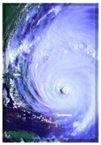
time allows.
Data is available for tropical and subtropical cyclones that impacted the U.S. from
1971 onward to the present, and Mexico between 1999 and 2003, as well as some
 older historic storms.  The image of Hurricane Floyd shown to the left was provided
by the Operational Satellite Events Imagery web page of NOAA.  Please select the
page of your choice from the following list.
Select Storm By Name Rainfall analogs to current tropical cyclones
Select Storm By Year
Select Storm By Region Of Impact Select Storm By Point Of Entry Tropical Cyclone Maxima Per U. S. State
Tropical Cyclone Maxima Per Mexican State Point Maxima for Tropical Cyclones Tropical Cyclone Averages and Maxima per Duration
Tropical Cyclone Rainfall Forecasting Tropical Cyclone Rainfall Slideshow (in Powerpoint format) Methodology for climatology
Acknowledgments Milestones

For any questions, comments, suggestions, e-mail David.Roth@noaa.gov
Last updated November 20, 2008