Skip Navigation Links weather.gov 
NOAA logo - Click to go to the NOAA homepage National Weather Service   NWS logo - Click to go to the NWS homepage
The Weather Prediction Center


Follow the Weather Prediction Center on Facebook Follow the Weather Prediction Center on Twitter
NCEP Quarterly Newsletter
WPC Home
Analyses and Forecasts
   National High & Low
   WPC Discussions
   Surface Analysis
   Days ½-2½ CONUS
   Days 3-7 CONUS
   Days 4-8 Alaska
   QPF
   PQPF
   Flood Outlook
   Winter Weather
   Storm Summaries
   Heat Index
   Tropical Products
   Daily Weather Map
   GIS Products
Current Watches/
Warnings

Satellite and Radar Imagery
  GOES-East Satellite
  GOES-West Satellite
  National Radar
Product Archive
WPC Verification
   QPF
   Medium Range
   Model Diagnostics
   Event Reviews
   Winter Weather
International Desks
Development and Training
   Development
WPC Overview
   About the WPC
   Staff
   WPC History
   Other Sites
   FAQs
Meteorological Calculators
Contact Us
   About Our Site
 
USA.gov is the U.S. Government's official web portal to all federal, state, and local government web resources and services.

About WPC's New Short Range Forecast Web Page

On March 17, 2008, WPC made significant changes to the look of the short range forecast web pages.   These changes were made for primarily two reasons:
  • To introduce two new graphics, a 6-hour forecast of fronts, pressure centers and precipitation valid at 06Z or 18Z of the issuance day and a 60-hour forecast of fronts and pressure centers.
  • Make the pages more user-friendly, particularly by allowing easier navigation through the forecast periods and providing the valid day and time of the forecast.
How to use the new web page
 
The user interface can be broken up into three main sections.  At the top is a tab bar (displayed below) with the three image types WPC creates: color, black and white, and the forecast graphic with the terrain/satellite background. Clicking on an option in the tab bar will take you to a page displaying a sequence of forecasts of the selected image type.   Note that "color" images were previously referred to as "color on white" and the images with the "terrain/satellite" background were referred to as "full color".

This is the tab bar containing options to view color, black and white, and terrain/satellite background images.
 

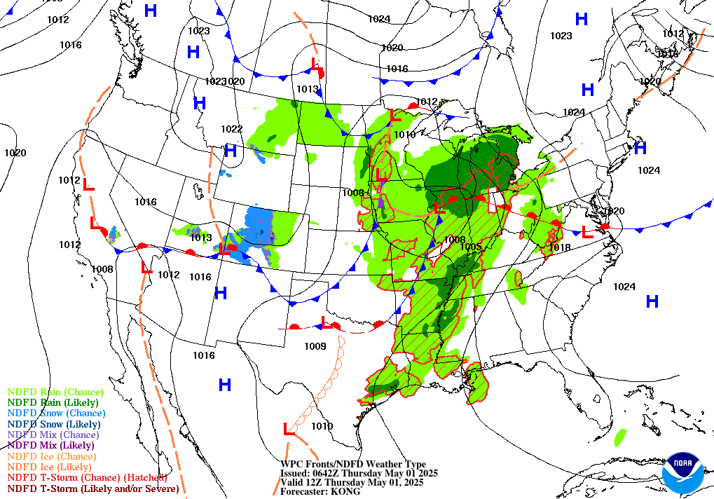
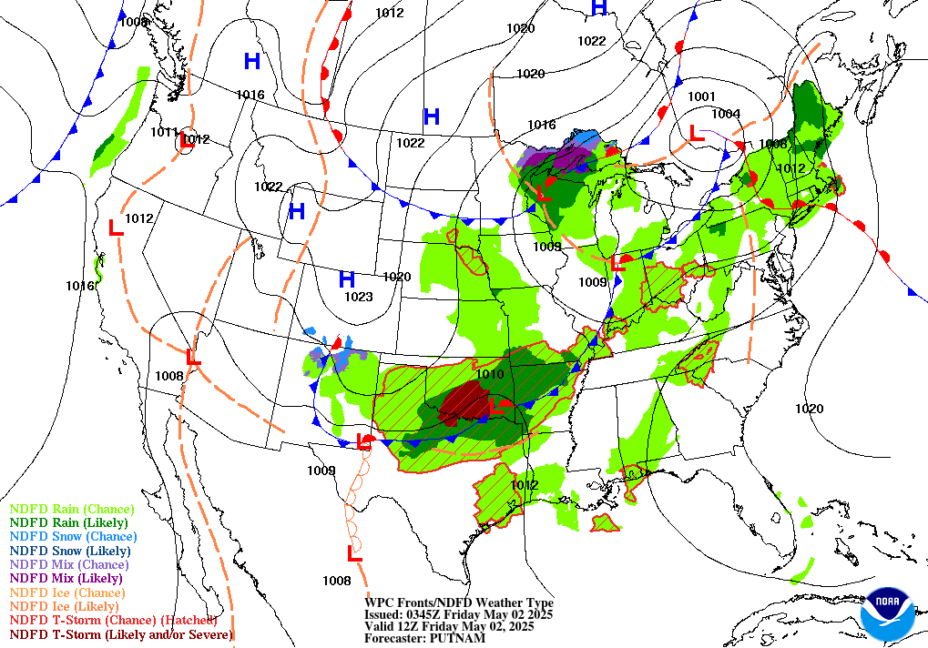
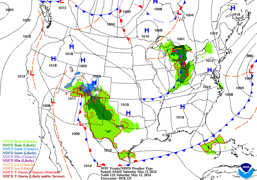
Below the tabs is a horizontal menu bar containing a series of days and "Z" (UTC) times. (See below for an example.) These refer to the valid day and time of the forecast.

This display contains the latest available forecast valid times.  Mouse over the valid time to view the forecast in the main window below it, or click the valid time to go to a page that will allow you to navigate easily among the forecast periods.

There are two ways to use this bar to access a forecast. Moving the mouse over a given time (such as Friday 00Z) will quickly display in the
main window the forecast valid for that day and time. Clicking on a given time will open a page displaying a larger version of the particular forecast as well as options (above the image) to change image types or move backward or forward through the forecast cycle.

In addition, you will see a "Loop" option on the far right side of this bar. Moving the mouse over this option will display in the main window an animation of the latest forecast. View an example of this animation. If you click on Loop, a Java applet, similar to many others on our site, will load a loop of the latest forecast. Unlike the simple animation, controls are available on this page to start/stop the loop or change the animation speed, as well as zoom into a region.  In addition, you have the option of toggling on/off the precipitation and/or fronts/pressures.  In October, 2008, a label was added to the upper right-hand side of the applet which provides a quick reference to the forecast valid time of each frame (which can be very helpful while in zoom mode).
 

The final section of the new display is the main window itself. Please see the example below. Clicking on the image in this window will bring up a full-sized version of the displayed forecast.
 
Example of a forecast displayed in the main window of the user interface.  Clicking this image will bring up a full-sized version.


Below is an example of a page that displays when clicking a forecast day/time on the horizontal menu bar above.

Example of the page format that displays when clicking a forecast on the day/time horizontal menu bar.


NOAA/ National Weather Service
National Centers for Environmental Prediction
Weather Prediction Center
5830 University Research Court
College Park, Maryland 20740
Weather Prediction Center Web Team
Disclaimer
Credits
Glossary
Privacy Policy
About Us
Career Opportunities
Page last modified: Thursday, 12-May-2022 19:38:25 UTC