| WPC Met Watch |
|
|
Mesoscale Precipitation Discussion: #0109 |
|
(Issued at 930 AM EDT Sat Mar 23 2024
) |
|
| MPD Selection |
|
|
|
|
|

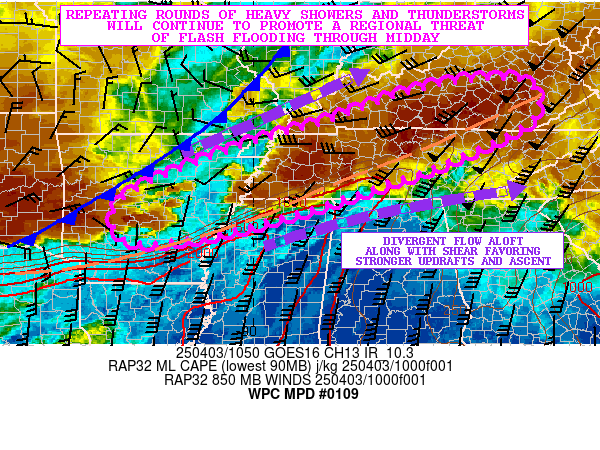
Mesoscale Precipitation Discussion 0109
NWS Weather Prediction Center College Park MD
930 AM EDT Sat Mar 23 2024

Areas affected...metropolitan areas of southeastern Florida

Concerning...Heavy rainfall...Flash flooding likely

Valid 231330Z - 231630Z

Summary...Areas of training convection are producing spots of 2-3
inch/hr rain rates over parts of the Everglades.  This activity
will spread into populated areas of southeastern Florida soon,
prompting localized flash flooding.

Discussion...A lead convective cluster was located over Miami
currently.  Upstream from that cluster, an axis of west-southwest
to east-northeast oriented storms were located over the Everglades
and just north of the Florida Keys.  SPC Mesoanalysis and radar
mosaic imagery shows that the storms are in an abundantly moist,
unstable environment (2000 J/kg SBCAPE and nearly 2 inch PW
values), supporting efficient rainfall processes within the
storms.  Additionally, a few of the storms are
orienting/developing parallel to flow aloft, enabling 2+ inch/hr
rain rates to develop despite relatively fast storm motions.

MRMS has already estimated a band of 2+ inch/hr rain rates over
the Everglades and areas west of the Miami metro area.  On their
current trajectory, these rates should spread eastward and impact
the metro area, with sensitive/urbanized areas experiencing an
increased flash flood threat beginning in the next few minutes.
At least 1-2 hours of heavier downpours are expected, and wet
soils/antecedent conditions should also support excessive runoff
at times.  Flash flooding will become likely for a few hours today.

Cook

ATTN...WFO...KEY...MFL...

ATTN...RFC...SERFC...NWC...

LAT...LON   26458097 26377980 25727937 24947991 24598117
            25068198 26118179
Download in GIS format: Shapefile
| KML
Last Updated: 930 AM EDT Sat Mar 23 2024
|


