| WPC Met Watch |
|
|
Mesoscale Precipitation Discussion: #0157 |
|
(Issued at 231 AM EDT Tue Apr 16 2024
) |
|
| MPD Selection |
|
|
|
|
|

Mesoscale Precipitation Discussion 0157
NWS Weather Prediction Center College Park MD
231 AM EDT Tue Apr 16 2024

Areas affected...Southeast SDak...Northeast NEB...Northwest
Iowa...

Concerning...Heavy rainfall...Flash flooding possible

Valid 160630Z - 161200Z

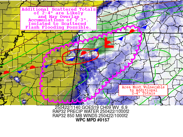
SUMMARY...Slow moving, locally intense thunderstorms may produce
some widely scattered spots of 2"+ rainfall precursory to stronger
wave and additional thunderstorms approaching toward daybreak
across the Mid-Missouri Valley.  Some low-end incidents of flash
flooding may be possible; but will at least set the stage for
increasing risk later this morning.

DISCUSSION...GOES-E 10.3um EIR and WV suite imagery depict a
broadening/cooling convective complex within the highly diffluent
western branch of the upper level jet across the Mid-Missouri
River Valley providing excellent outflow aloft to maintain
convective development.  In the lower levels, well defined surface
stationary front across the SDak/NEB line angles south through the
river valley into northwest MO, delineating moist air with low to
mid 60s Tds in the warm sector compared to 30s/40s north of it.
Stronger shortwave of main closed low has shifted into the central
High Plains advancing toward the area and the low level jet has
responded with solid confluence in the sfc to boundary layer
region enhancing convergence at the frontal zone across NE NEB;
flux of 45-50kts and the enhanced moisture along the boundary
continues to provide solid flux through overall moisture
values/depth is limited to 1.25-1.3", but will steadily increase
toward 1.5" by late morning.

Highly unstable mid-levels (MUCAPES of 2000-2500 J/kg) are
resulting in the stronger updrafts and given the flux into the low
levels has been initially resulting in hail and cold pool
generation, steepening the front.  Deep layer flow supports north
to northwest cell motions; however, it is the anchoring of the
frontal zone and initiation spots that will aid back-building
regenerative updrafts capable of increasingly efficient rainfall
production.  Rates of 1.5"/hr may become closer to 2" with time
and strengthening approaching mid-level forcing toward 12z.  Still
the overall duration may result in localized spots of 2-3" and may
induce an instance of flash flooding in the vicinity (just north)
of the stationary front until that time, and therefore is
considered possible for the Mid-Missouri Valley through 12z.


Gallina

ATTN...WFO...DMX...FSD...OAX...

ATTN...RFC...MBRFC...NWC...

LAT...LON   44079726 43629627 42919546 42379515 41389503
            40989595 42029717 42889827 43319861 43909835
Download in GIS format: Shapefile
| KML
Last Updated: 231 AM EDT Tue Apr 16 2024
|


