|
|
Domain 6. Northeast South America
Graphics use 1° GFS Model Output
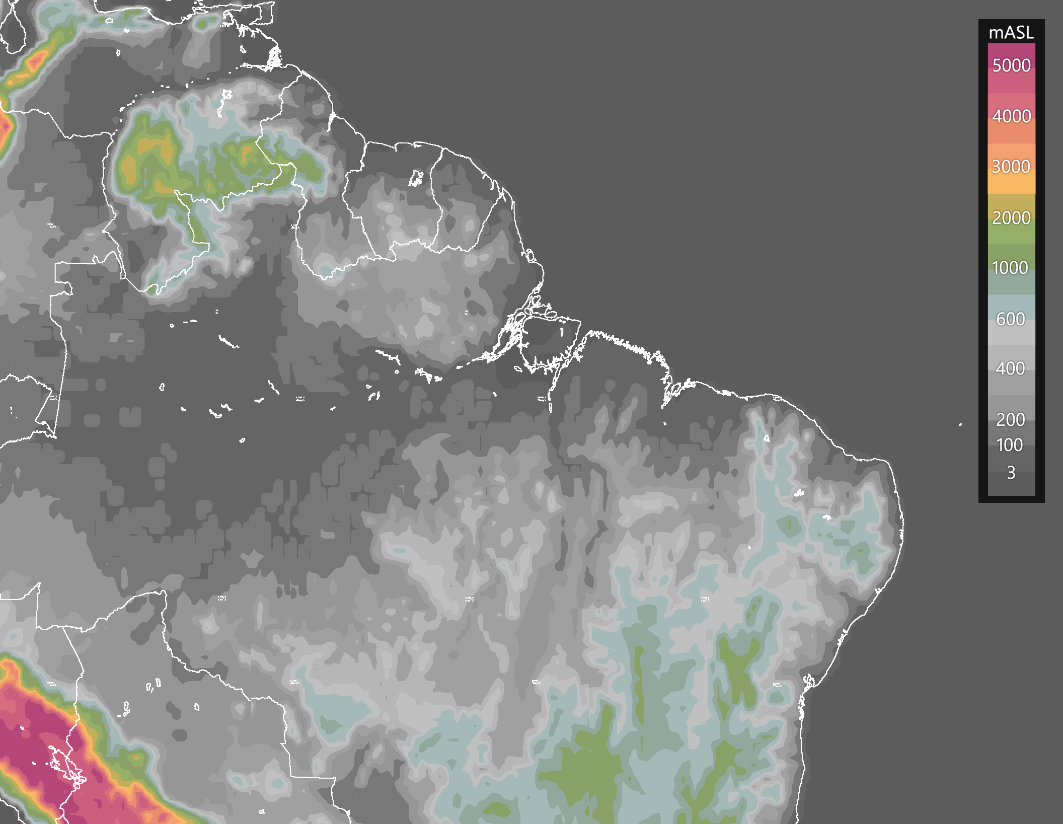
Terrain elevation in meters above sea level.
Source: GFS0.25°(NOMADS-NOAA).
|
|
ALGORITHM
|
GFS 00Z
|
GFS 12Z
|
Trade Wind Inversion -
TWIN.CMD
Detects the height of the Trade wind inversion's base in shaded
colors, and the strength of the inversion using boxes. Larger
boxes indicate a stronger inversion.
|
|
|
Enhanced GDI and Flow -
EGDI.CMD
Very similar to the GDI, the Enhanced GDI (EGDI) diagnoses the
potential for convection and rainfall accumulations. Loops include low- and
upper-tropospheric flow and other variables to evaluate if atmospheric
dynamics are favorable for triggering and/or sustaining convection.
|
|
|
|
Note: These algorithms are only forecast tools, not official forecasts.
For information on the algorithms, click on the red text.
|
|
|


