|
|
Domain 10. Southern Cone / Drake Passage
Graphics use 1° GFS Model Output
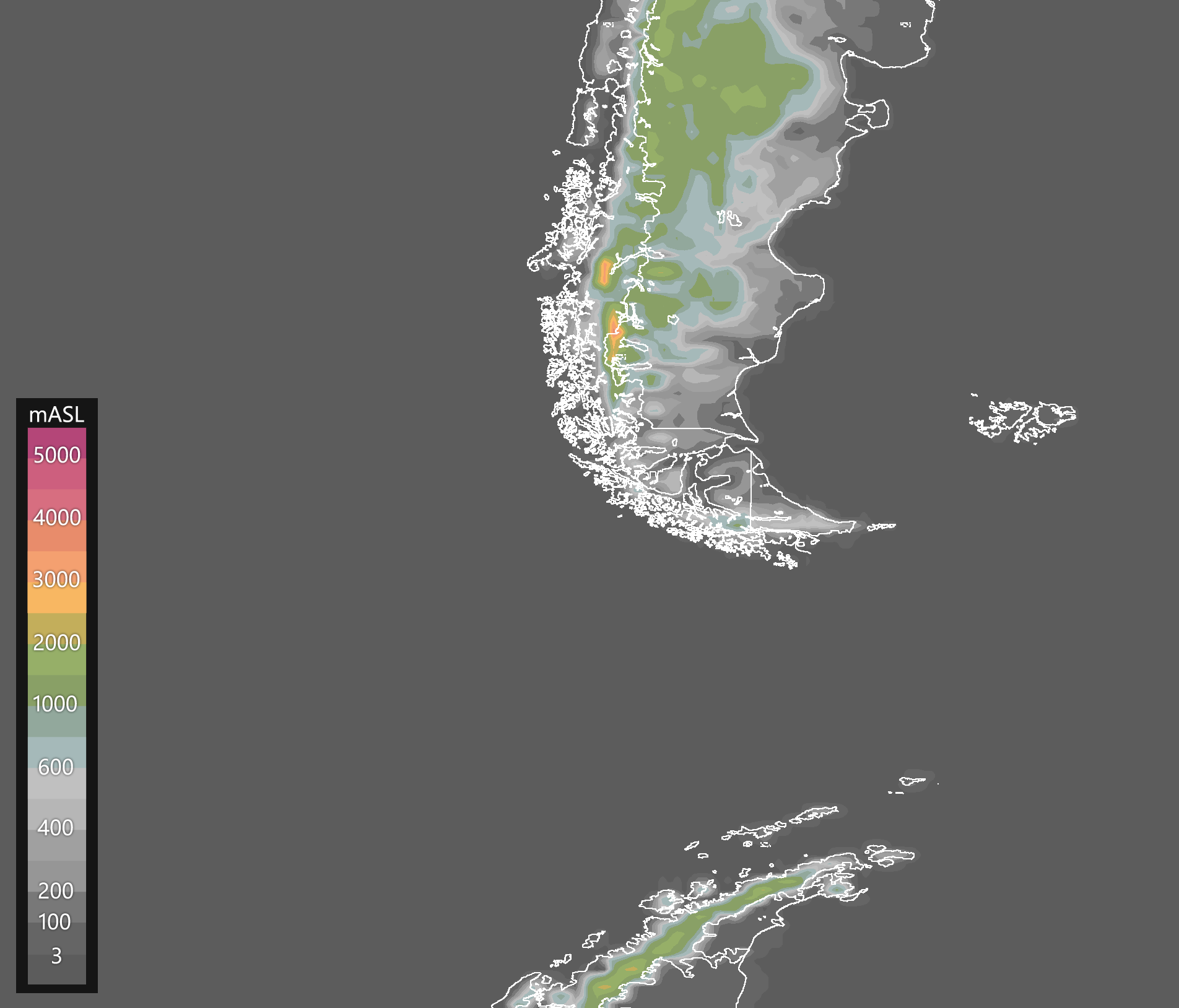
Terrain elevation in meters above sea level.
Source: GFS0.25°(NOMADS-NOAA).
|
|
ALGORITHM
|
GFS 00Z
|
GFS 12Z
|
Identification of Surface Fronts -
FRONT.CMD
Highlights the positions surface fronts based on horizontal
gradients of thickness and dewpoint in the lower troposphere,
and precipitable water to a lesser extent. If present, surface fronts are usually
positioned in the warm edge of the gradient (thick black contours).
|
|
|
|
Note: These algorithms are only forecast tools, not official forecasts.
For information on the algorithms, click on the red text.
|
|
|


