|
|
11. Northeast Caribbean High-Resolution Domain
Uses 0.25° GFS Model Output
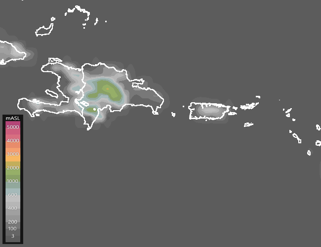
Terrain elevation in meters above sea level.
Source: GFS0.25°(NOMADS-NOAA).
|
|
ACCESS TO CURRENT FORECAST LOOPS
|
GFS 00Z
|
GFS 06Z
|
GFS 12Z
|
Enhanced GDI and Flow -
EGDI.CMD
Very similar to the GDI, the Enhanced GDI (EGDI) diagnoses the
potential for convection and rainfall accumulations. Loops include low- and
upper-tropospheric flow and other variables to evaluate if atmospheric
dynamics are favorable for triggering and/or sustaining convection.
|
|
|
|
|
Note: These algorithms are only forecast tools, not official forecasts.
For information on the algorithms, click on the red text.
|
|
|


