The Winter Storm Outlook is experimental and does not depict
official warnings, and should always be used in context with official NWS forecasts and warnings. Because this
product is experimental, it may not update in a timely fashion. Always check the creation and valid times. For more
information, please refer to the following links:Product/Service Description
Document
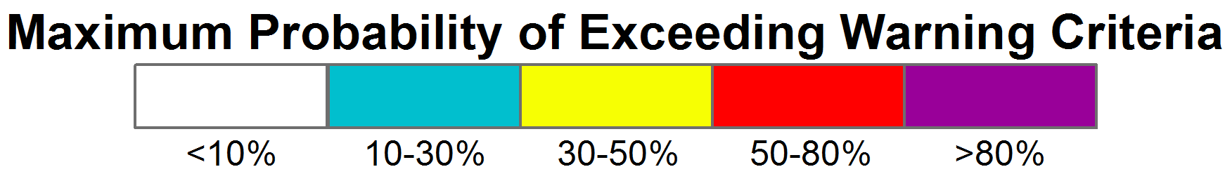
Probability of Exceeding Warning Criteria (Snowfall)
More InfoIndividual day forecasts are the maximum probability of exceeding the Proposed Event-based Winter Storm Warning Criteria for Snow Accumulation during the Valid Time Range from the Probabilistic Winter Precipitation Forecast (PWPF) for a 24-hour period from 12Z to 12Z. The data in the "Days 1-4" link are simply the maximum probabilities from all four days. These forecasts may include edits by forecasters.
Probability of Exceeding Warning Criteria (Freezing Rain)
More InfoIndividual day forecasts are the maximum probability of exceeding NWS Winter Storm Warning Criteria from the Probabilistic Winter Precipitation Forecast (PWPF) for a 24-hour period from 12Z to 12Z. The data in the "Days 1-4" link are simply the maximum probabilities from all four days. These forecasts may include edits by forecasters.