


| December 17 2020 |
Mid-Atlantic to Northeast Major Winter Storm: (12/16 - 12/17)
By: Rich Otto, WPC Meteorologist
Meteorological Overview:
A major winter storm impacted the northern Mid-Atlantic region into New England from 16 December to 17 December 2020. While freezing rain accretion in excess of 0.25 inches was reported across and just east of the central Appalachians, the storm became notable for an intense band of heavy snow that affected portions of the northern Mid-Atlantic and Northeast. Four states (Pennsylvania, New York, Vermont and New Hampshire) reported over 40 inches of snow from the storm with the highest accumulations at 44 inches, reported near Newark Valley, NY and Croydon, NH.
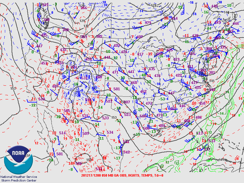
The storm developed ahead of a strong, but deamplifying, 500 hPa shortwave trough which tracked east-northeast from the middle Mississippi Valley on 1200 UTC 16 December to western New England on 1200 UTC 17 December, while acquiring a negative tilt. At the surface, a 1038 hPa ridge of high pressure in place over southern Quebec resulted in a classic cold air damming setup from the Northeast into the Mid-Atlantic States. Surface temperatures were well below freezing at 1200 UTC 16 December across the Northeast, while temperatures a few degrees below freezing extended southward into the Mid-Atlantic States from the Piedmont into the central Appalachians. A surface low tracked northward along the Mid-Atlantic coast on 16 December and then northeastward to the south of New England through 17 December. Given warm advection in the 850-700 hPa layer and sub-freezing temperatures at the surface at the onset of the storm, freezing rain occurred from central and southern West Virginia into western North Carolina and western Virginia.
As the 500 hPa trough tracked eastward, a region of strong low level warm air advection coincided with moderate to heavy snow spreading northward from Pennsylvania and New York into New England. The most intense snowfall rates of the storm were reported between 0000 UTC and 1200 UTC 17 December across northern Pennsylvania into central New York and central New England. Synoptic scale ascent across southern portions of the Northeast was aided by a coupled left-exit region of the mid-upper level jet and right-entrance region of the upper level jet. Mesoscale banding resulted in snowfall rates between 2 and 3 inches per hour and as high as 5 inches per hour, persisting for roughly 6 to 9 hours over any given location where the heaviest storm total snowfall occurred. Binghamton reported 20.5 inches of snow in 6 hours with two consecutive hours of snowfall rates around 5 inches per hour.
Mesoscale banding with unusually persistent and heavy snowfall rates was the result of a combination of several factors. The anomalous moisture for this storm had source regions in both the Gulf of Mexico and tropical eastern Pacific. Very strong low to mid-level warm air advection combined with a region of strong frontogenesis within the 700-500 hPa layer, was oriented from west-southwest to east-northeast. In addition, ascent within the zone of mesoscale lift was maximized within the dendritic growth zone, promoting dendrite formation and rapid snowfall accumulation. The movement of the mesoscale heavy snow band was generally parallel to its orientation, allowing for several hours of heavy snow over several locations.
Despite the storm only deepening 17 hPa in 24 hours, and the quick moving nature of the upper level low (total snowfall at most locations occurred over a 12 to 18 hour window), significantly heavy snowfall managed to occur with widespread snowfall totals for the event in excess of 2 feet.
Impacts:
Several records were broken due to this storm system, including the all-time two day snowfall record at the Greater Binghamton Airport in New York with 40.0 inches and in Williamsport, Pennsylvania with 24.7 inches, both on 17 December. Pending review by the State Climate Extremes Committee, two states set their all-time 24 hour snowfall record with 43.3 inches near Alba, Pennsylvania and 44 inches about 3 miles south of Ludlow, Vermont. Daily maximum snowfall records were also set at several airports from the northern Mid-Atlantic into New England.
Freezing rain accumulations in the Mid-Atlantic and heavy snow with wind caused tens of thousands of power outages from the Mid-Atlantic into the Northeast. However, the area of low pressure associated with the storm did not deepen as much when compared to storms in the past with comparable snowfall totals. Therefore, the relatively weaker nature of the surface low from this storm system likely lowered the number of power outages than if the low pressure center and associated winds were stronger.
In Binghamton, the weight of the snow was responsible for the roof collapse of the Greater Binghamton Sports Complex, one of New York State’s largest indoor sports complexes. There were at least six fatalities attributed to the winter storm, many of which were from traffic accidents. While there were hundreds of traffic accidents blamed on the storm system, one was rather significant in Pennsylvania, closing a stretch of I-80 in the central portion of the state during the height of the storm. Between 30 and 60 vehicles were involved in a multi-vehicle pileup which resulted in one fatality directly related to the accident and a second caused by a medical issue not related to the crash.
The 16-17 December 2020 storm system ranked as a Category 2 on the Regional Snowfall Index for the Northeast, which is defined as “significant”. This was the first Category 2 winter storm for the Northeast since March 2018, when a blizzard impacted much of New England.