


| February 13 2021 |
Pacific Northwest to Intermountain West Winter Storm: (2/12 - 2/13)
By: David Hamrick, WPC Meteorologist
Meteorological Overview:
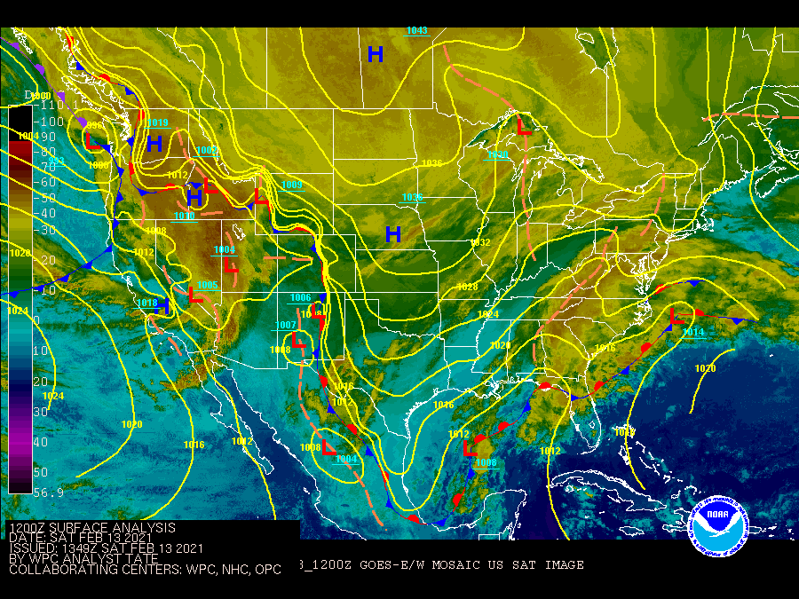
The Pacific Northwest and the Northern Rockies were affected by a strong winter storm that eventually made national headlines across the Southern Plains and Midwest. On the evening of February 12th, a potent low pressure system was becoming better organized a few hundred miles off the coast of Washington state, and the parent surface low deepened to 993mb by 12Z on the 13th about 50 miles east of the Olympic Peninsula. The low weakened as it moved inland across the region, however, it intercepted a strong stationary front draped across inland portions of Washington and Oregon, with an arctic air mass behind it. This boundary further aided lift and the combination of both systems lead to widespread impactful winter weather.
WPC snowfall forecasts were identifying the potential for disruptive snowfall accumulations five days leading up to the event. The synoptic scale pattern on Feb. 12 featured an upper level trough east of the British Columbia coast diving south toward the Pacific Northwest. By the morning of Feb. 13, an impressive 175 knot 250mb jet streak was located near the northern CA coast, placing its diffluent left exit region over the Pacific Northwest. An influx of Pacific moisture aloft was overrunning very cold temperatures in the surface to 850mb layer. This separation between the Pacific and Arctic air masses was also denoted by a stationary front near the Cascades that extended as far south as central Oregon. The combination of frigid air at low levels, influx of Pacific moisture, and vertical ascent within the atmospheric column in the region laid the groundwork for a high impact winter storm in the Pacific Northwest. The upper trough then tracked through the Intermountains West where it dropped heavy snowfall through many mountain ranges, leading to road closures and travel delays.
Impacts:
The greater Portland metropolitan area was hammered with 9.4 inches of snow falling from February 12-13, and this is reported to be the greatest two-day total since a major winter storm back in 1968. Damaging ice accretion was also a major issue in portions of the Willamette Valley, with reports exceeding one inch of ice in some of the valley locations south of Portland. All of this snow and ice had a major impact on the electrical grid, with an estimated 270,000 households losing power and having to endure the cold that followed. This may have played a role in the deaths of four people in Oregon, which were likely due to carbon monoxide poisoning from improper use of generators. Neighbors to the north in the greater Seattle area had nearly a foot of accumulated snow, with 11.1 inches measured at the Seattle International Airport during that same two-day period. This was also noteworthy given this was the greatest two-day total since a big winter storm in 1972. Farther east across Idaho, nearly 10 inches of snow fell in Boise.