Excessive Rainfall Discussion
NWS Weather Prediction Center College Park MD
859 PM EDT Thu May 8 2025
Day 1
Valid 01Z Fri May 09 2025 - 12Z Fri May 09 2025
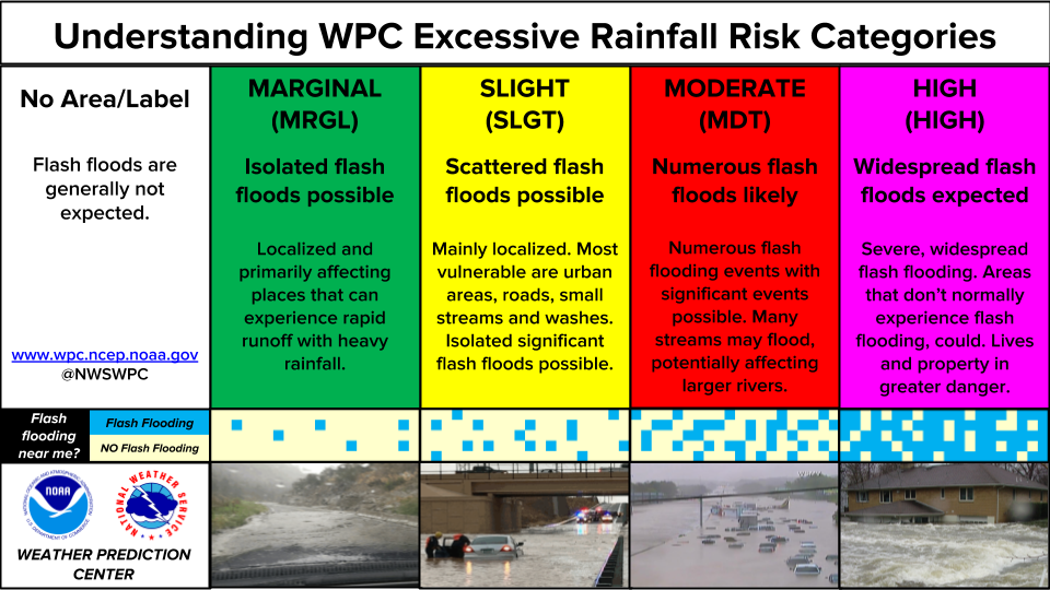
...THERE ARE A SLIGHT RISK OF EXCESSIVE RAINFALL OVER SOUTH TEXAS...
...Deep South Texas...
16Z Update: Little change with the overall expectations across Deep
South TX. Still looking at primary impacts from two rounds of
convection. The first is already occurring with a strong
thunderstorm slowly progressing eastward off South Padre as the
updraft and primary mesocyclone matured enough to drop a few inches
of rainfall in short succession along the South TX coast plain past
few hrs. 12z KBRO sounding came in with a deep moist profile with
PWATs settled at 2.15" putting it at the new 12z Daily Max for the
date. This is a testament to the environment available for any
convective regimes whether that be from more pulse variety
convection this morning and afternoon, and eventual MCS progression
as the potent shortwave ejects southeast out of MX generating a
more organized heavy rain prospect from the Big Bend, southeast.
12z HREF neighborhood probs for >3" are between 60-90% over the
area extending from CRP down to BRO to about 40 miles inland along
that stripe. Neighborhood >5" are highest near Brownsville to
McAllen (30-60%) lending credence to the higher flash flood threat
in the region, especially in those more urbanized corridors along
the Rio Grande Valley. The previous SLGT was relatively unchanged
considering the setup, in agreement with the local WFO's.
Kleebauer
...Portions Lower Ohio Valley, Tennessee Valley, Southeast, Mid
Atlantic, and Northeast...
Trimmed quite a bit of the Marginal Risk area across these areas,
given the weak mid-level lapse rates (~6-6.5 C/Km) and thus
diminishing CAPE trends following sunset. Slow-moving, favorable
area of large-scale forcing (DPVA/upper divergence) ahead of the
upper trough will be aided across the Mid Atlantic overnight due to
some left-exit region upper jet contribution via the 90-100kt upper
jet streak that pushes into the Southeast. This will lead to
slightly more favorable low-mid layer moisture transport, with
850-700 mb moisture flux anomalies closer to 1 standard deviation
above normal. Recent HRRR and other CAM runs show isolated pockets
of 3+ inches of rain overnight, especially across Upstate SC into
central NC, with 1-2+ inch totals over parts of VA/MD and the
northern Mid Atlantic. However despite the favorable forcing and
slow storm motions, expect the increasingly marginal instability
to limit the coverage and intensity of the stronger cells,
especially after 03-04Z per the 18Z HREF exceedance probabilities.
Thus the Marginal Risk will continue, with the expectation of
mainly isolated/localized short-term runoff issues, again aided by
the slow storm motions and especially where any west-east bands
set up and train.
Hurley
Day 1 threat area:
www.wpc.ncep.noaa.gov/qpf/94epoints.txt
Excessive Rainfall Discussion
NWS Weather Prediction Center College Park MD
436 AM EDT Fri May 9 2025
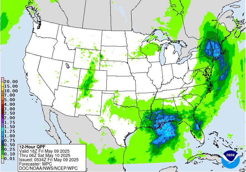
Day 1
Valid 12Z Fri May 09 2025 - 12Z Sat May 10 2025
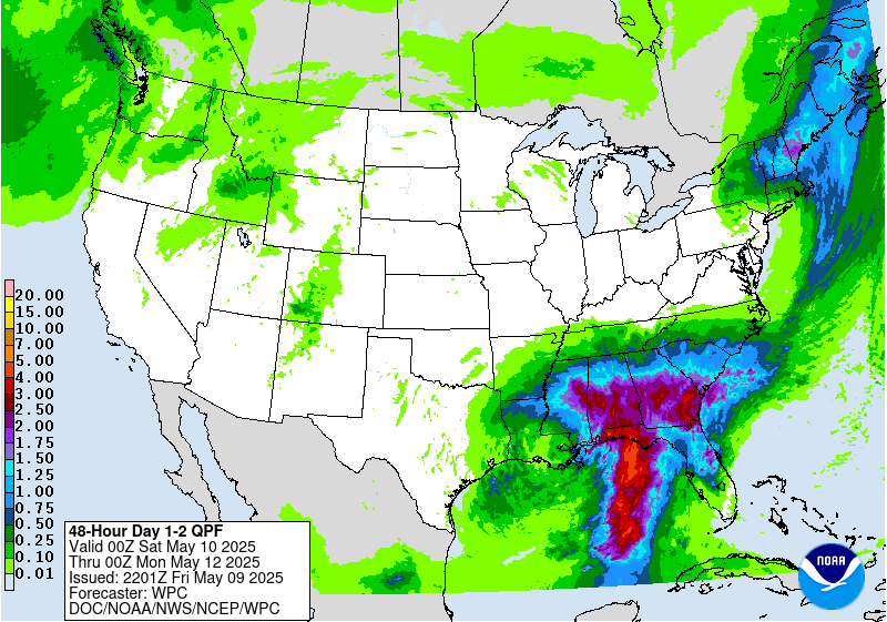
...THERE IS A MARGINAL RISK OF EXCESSIVE RAINFALL OVER PORTIONS OF
THE NORTHEAST & SOUTHEAST...
...Gulf Coast & Southeast...
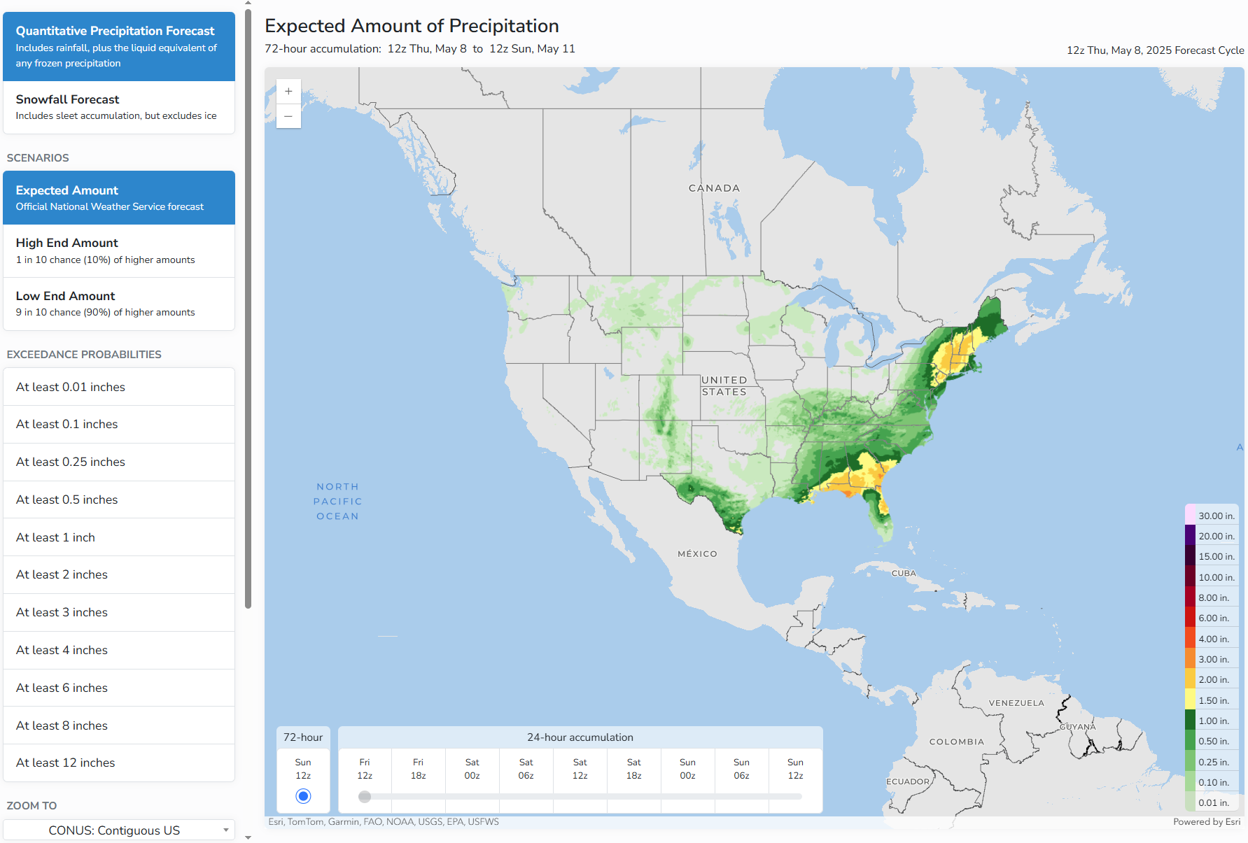
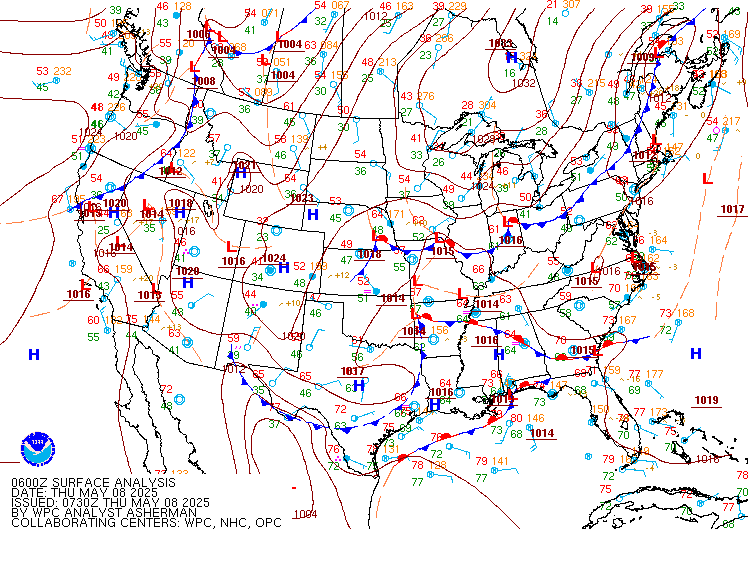
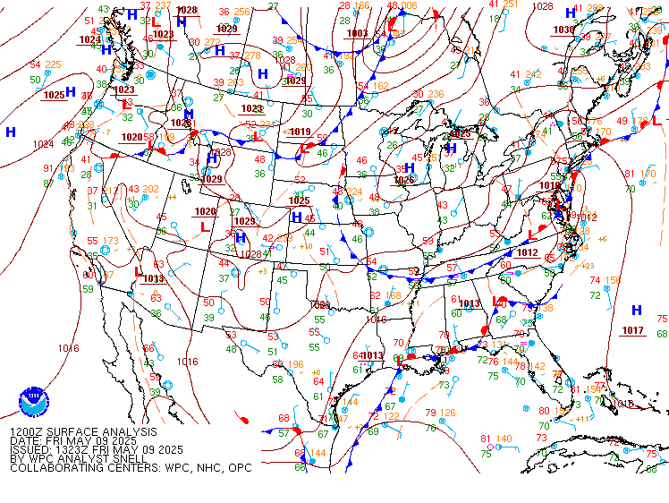
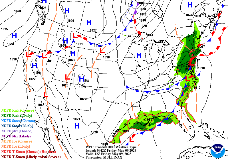
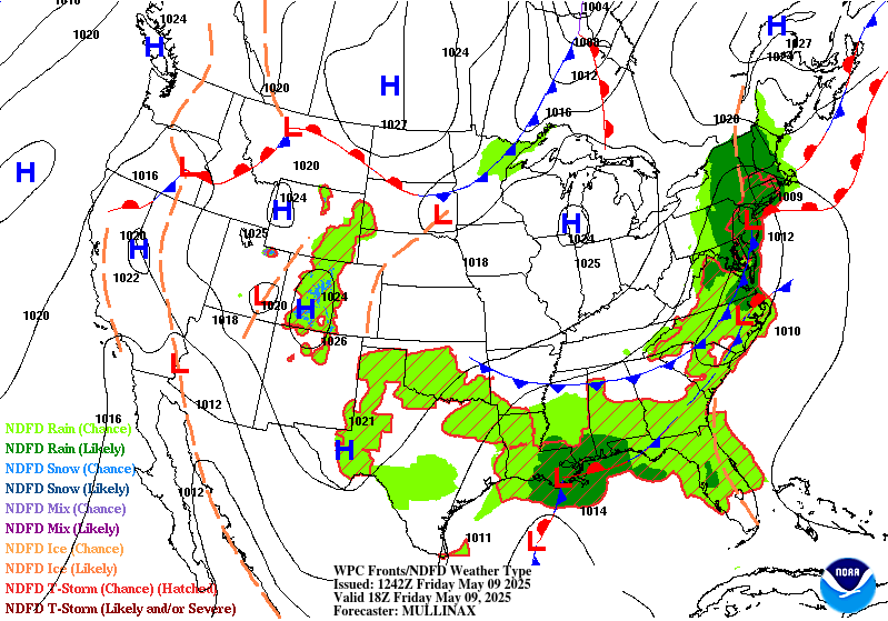
A cutoff upper low is forecast to stall over the Central Gulf
Coast today, accompanied by a nearly stationary frontal boundary
upon which a wave of low pressure will form this afternoon and
evening. Convection moving onshore on the northern and eastern side
of the low will likely result in locally heavy rainfall from
southeastern Louisiana through southern Mississippi and Alabama to
the western Florida Panhandle. Plentiful moisture will be in place
with perceptible water values greater than 1.5 inches, and there
should be just enough CAPE and effective bulk shear along the
immediate coast to support some sustained/organized convection.
Model guidance has come into good agreement on the overall QPF
footprint with some variances on where the highest values are along
the coast. The general consensus among the hi-res CAMs is for the
higher amounts (2-3 inches with locally higher amounts possible) to
fall between far southeastern Louisiana and Destin, Florida. Even
with those amounts, the FFGs in these areas remain fairly high with
3-4+ inches needed to pose flash flooding concerns. The main
concerns with activity this evening will be thunderstorms with
efficient rain rates tracking over any urban or poor drainage
areas. There is a broad Marginal Risk area in place that includes
the Central Gulf Coast and extends into southern Georgia and
portions of North and Central Florida where localized thunderstorms
with heavy rain may pop up this afternoon.
...Northeast...
A slow-moving coastal low will bring a prolonged period of onshore
flow to portions of the Northeast, which will produce some decent
rainfall totals across the region. Most of the precipitation on the
northern side of the system will be in the form of stratiform rain
with modest rain rates at best, but rainfall totals will add up
today into tonight, resulting in widespread amounts of 1-2 inches,
locally higher, in the 24 hour period. Rain rates will likely fall
short of the 1/3/6 hr FFGs in most locations. However, soils
across the region are already saturated and there will likely be
enough runoff to flood rivers, creeks, streams, and even some low-
lying areas. The better chances of localized flash flooding will be
to the south over Long Island and southern Connecticut. Hi-res
CAMs have been consistently showing a higher stripe of QPF across
Long Island where convection will move onshore ahead of the surface
low. Given ample moisture from the Atlantic and a modest amount of
CAPE, showers and storms that develop will likely be able to
produce rain rates greater than 1 inch per hour. A Marginal Risk
area is in place across portions of the Northeast to account for
the localized flash flood threat across the region.
Dolan
Day 1 threat area:
www.wpc.ncep.noaa.gov/qpf/94epoints.txt
Excessive Rainfall Discussion
NWS Weather Prediction Center College Park MD
436 AM EDT Fri May 9 2025
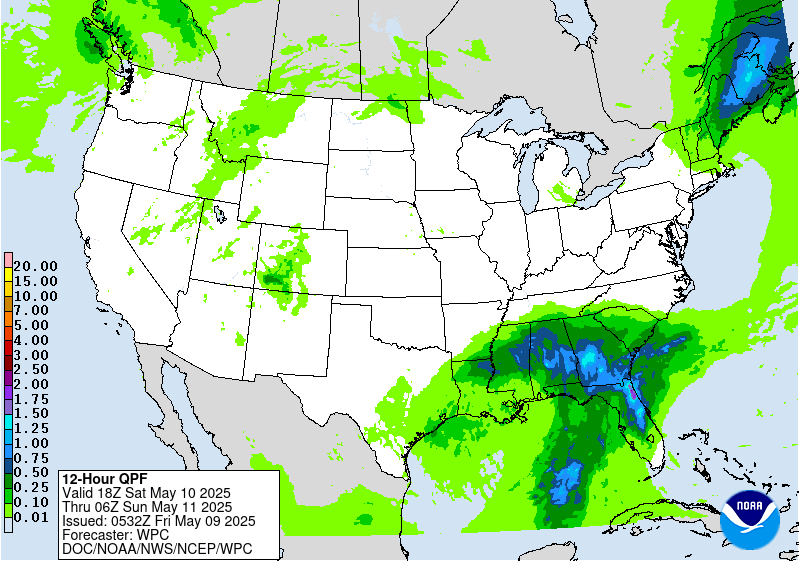
Day 2
Valid 12Z Sat May 10 2025 - 12Z Sun May 11 2025
...THERE IS A MARGINAL RISK OF EXCESSIVE RAINFALL OVER PORTIONS OF
THE SOUTHEAST & NEW ENGLAND...
...Southeast...
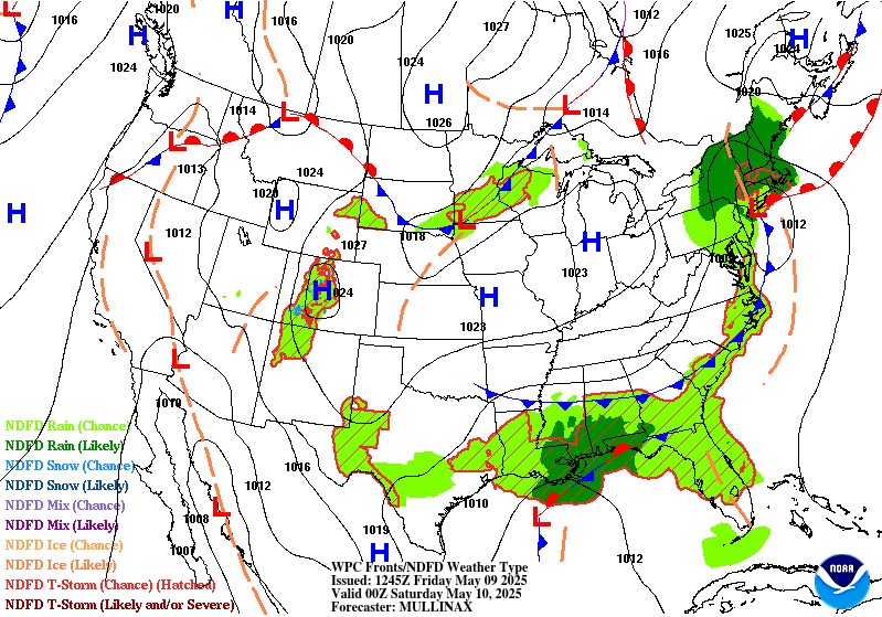
A stationary boundary will remain draped across the Southeast,
with several waves of low pressure expected to form along the
boundary over the weekend as upper level short waves pivot around
the upper low over the region. Compared to Friday, the QPF
footprint will translate east into areas with relatively drier
antecedent conditions. Models are agreeable that widespread
rainfall totals of 1-2 inches are expected across southern and
central Alabama and Georgia and North Florida. Locally higher
amounts above 2 inches will also be possible, but exactly where may
vary within the region. The highest QPF will likely be along the
immediate coast in the Florida panhandle as convection moves
onshore, and training onshore convection will likely pose the
highest threat for flash flooding. Efficient rain rates (2+ inches
per hour) are expected due to a saturated atmosphere with ample
CAPE and shear to support thunderstorms. Flash flooding may be
fairly limited to urban and poor drainage areas given the higher
FFGs (3-5 inches). To account for this, a Marginal Risk area is in
place across much of the Southeast.
...New England...
As a coastal low tracks south of the coast, moderate precipitation
will focus over New England on the northern side of the system.
The low is expected to be fairly progressive, which might help to
limit rainfall totals, but a decent swatch of rainfall is forecast
from Vermont and New Hampshire through southern Maine. Soils in
Vermont and New Hampshire are expected to be somewhat sensitive
given heavy rains expected today. Rainfall will be mostly
stratiform across New England, limiting rain rates, but there will
likely be enough moisture and instability to produce localized
rates of 1+ inches over the course of a few hours, which may come
close to 3/6 hr FFGs. A Marginal Risk area remains in place across
Vermont, New Hampshire, and most of Maine, but northwestern Maine
was removed from the Marginal as model QPF has trended downwards.
Dolan
Day 2 threat area:
www.wpc.ncep.noaa.gov/qpf/98epoints.txt
Excessive Rainfall Discussion
NWS Weather Prediction Center College Park MD
436 AM EDT Fri May 9 2025
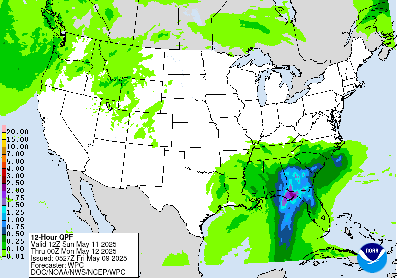
Day 3
Valid 12Z Sun May 11 2025 - 12Z Mon May 12 2025
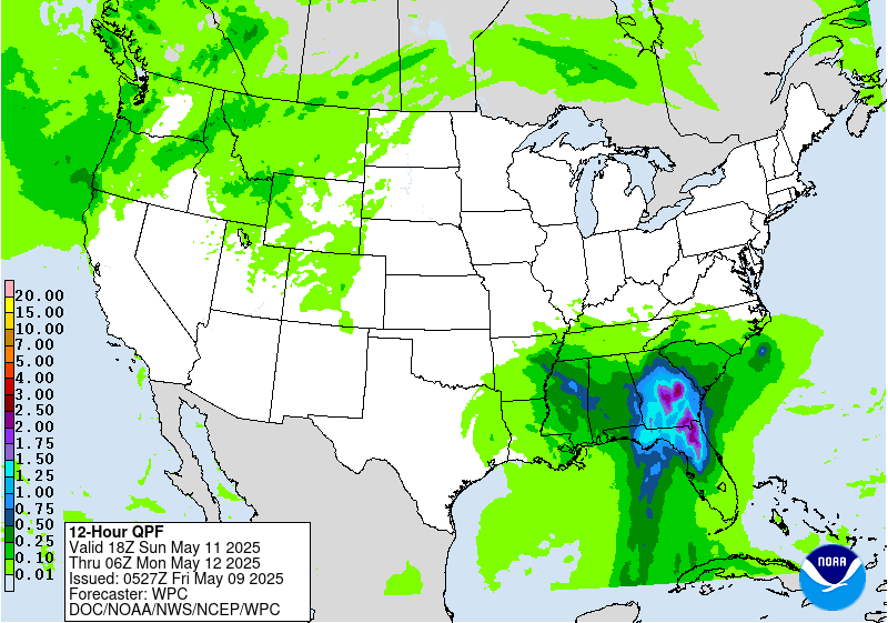
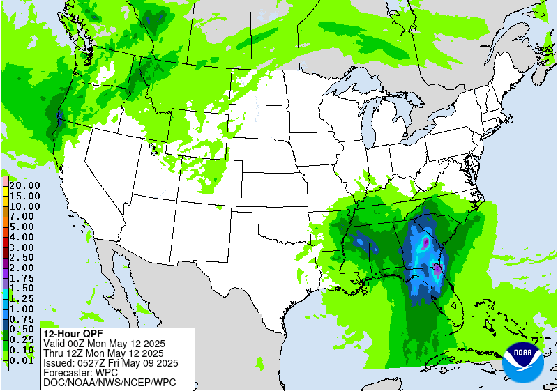
...THERE IS A SLIGHT RISK OF EXCESSIVE RAINFALL OVER PORTIONS
OF THE SOUTHEAST...
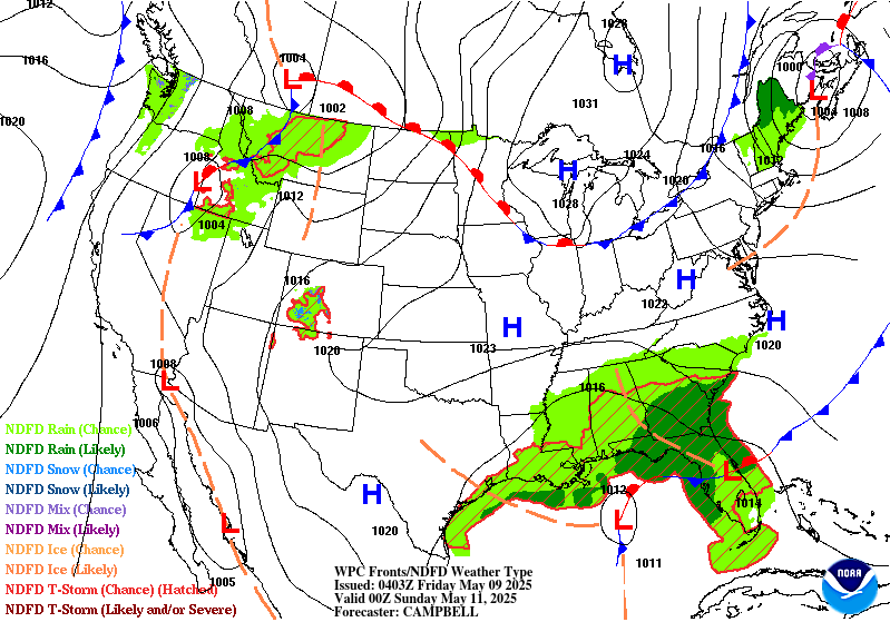
A wave of upper level energy will pivot around the upper low across
the Southeast, sparking another wave of convection from the Gulf
Coast to the Southeast Atlantic Coast. Models are showing a more
organized area of surface low pressure moving into the Southeast
with significant rainfall totals on the eastern side. Widespread
totals of 1.5-2.5 inches are expected with locally high amounts
above 3 inches. Considering this will be the second day in a row
with heavy rainfall in the Southeast, areas with saturated soils
from the day before may be slightly more prone to flood impacts
with additional heavy rain on Sunday. The most favorable flash
flood conditions will be across North Florida and southern and
central Georgia where 1000+ J/kg MUCAPE and 30+ knots of effective
bulk shear with support organized convection. Additionally,
precipitable water values in excess of 1.5 inches will support
efficient rain rates in strong thunderstorms. A Marginal Risk area
is in effect for much of Alabama, Georgia, South Carolina, and
North and Central Florida, with an embedded Slight Risk area over
North Florida and southern and central Georgia.
Dolan
Day 3 threat area:
www.wpc.ncep.noaa.gov/qpf/99epoints.txt
Extended Forecast Discussion
NWS Weather Prediction Center College Park MD
258 AM EDT Fri May 9 2025
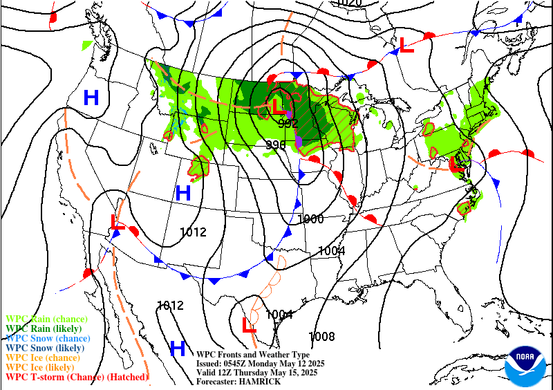
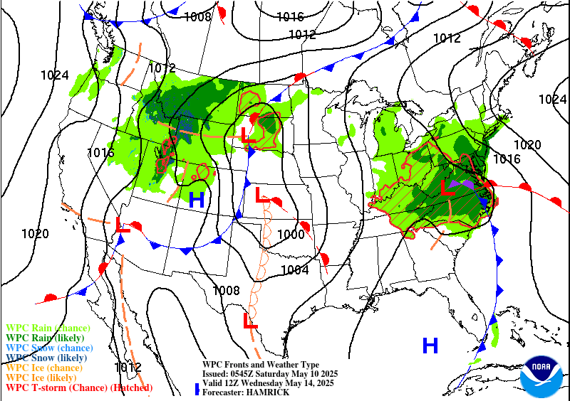
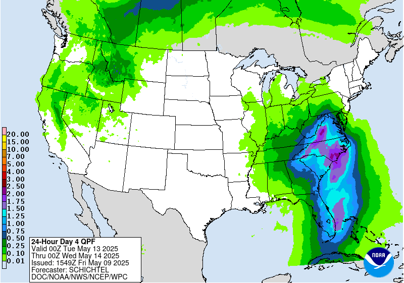
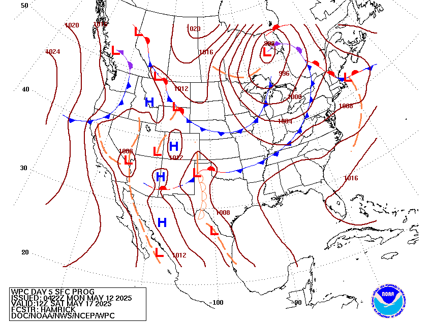
The slow moving occluded surface low and associated upper low will
result in a strong influx of deep moisture from the western
Atlantic and result in multiple rounds of moderate to heavy
rainfall extending from northern Florida to the Mid-Atlantic
region. In particular, enhanced moisture flux with upslope
component across the southern Appalachians on Monday (Day 4) will
likely result in higher rainfall totals across western SC/NC, and
there is the potential that a Moderate Risk area may be needed as
this event enters the short range forecast period. However, for the
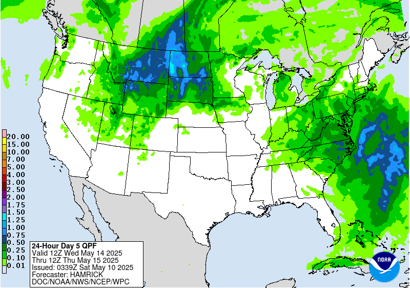
time being, a Slight Risk area remains valid from southwestern
Virginia to the northern Florida Peninsula, and a Marginal Risk
area across much of North Carolina into the Mid-Atlantic for
Tuesday (day 5) as the moisture plume slowly works its way north
while probably weakening some.
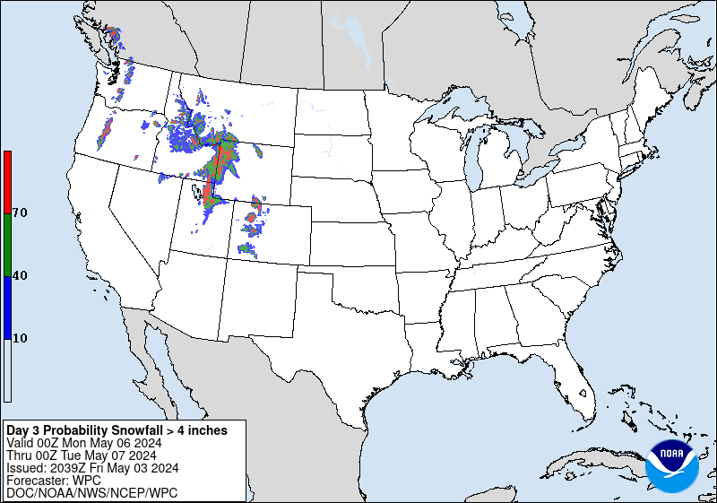
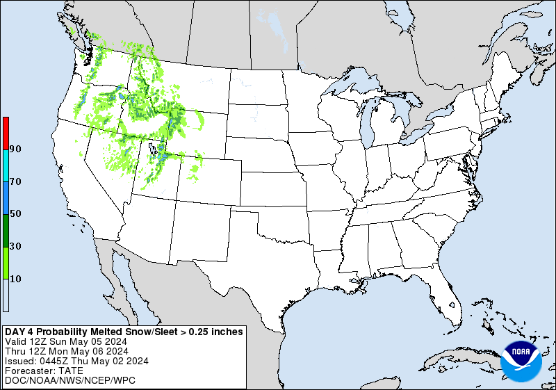
Out West, rain and higher elevation snows will become more
widespread into next week with the amplified upper low passing
through. This especially holds true for the northern Rockies going
into the middle of the week with some of the higher ranges picking
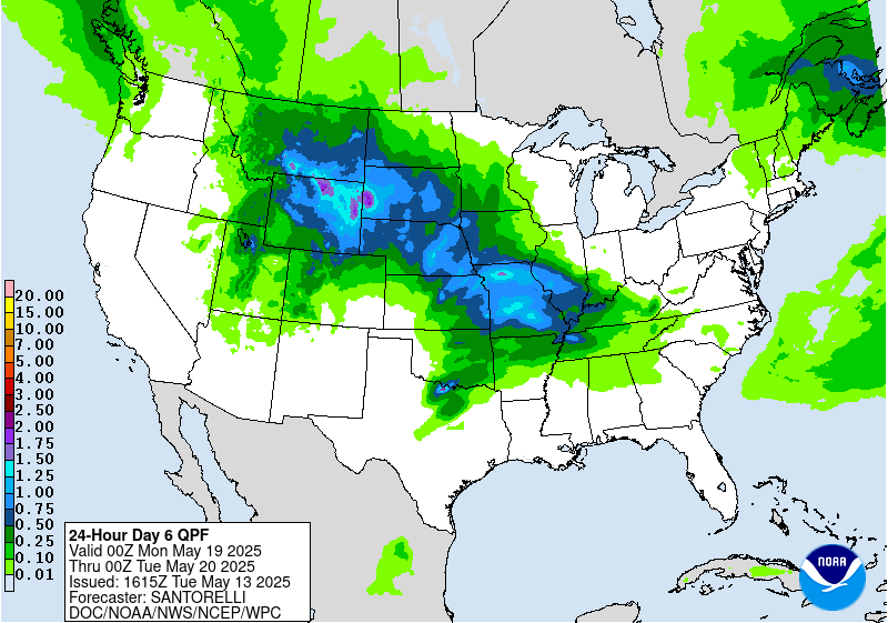
up several inches of late season snowfall. As the system progresses
east, moderate to locally heavy rainfall may develop on the north
and west side of a surface low over the north-central Plains, but
not expected to be heavy enough to warrant any excessive rainfall
risk areas at this time.
An early season heatwave is likely across the Dakotas and into
Minnesota early in the week as this region will be in the warm
sector of a developing surface low. Temperatures will be the
warmest of the season thus far with highs reaching the upper 80s to
potentially middle 90s, and easily setting some daily record highs.
It will also be hot across much of Texas with some 100+ degree
readings expected near the Rio Grande. Warmer temperatures are also
coming to much of the Eastern U.S. by the end of the week, with
humidity levels also increasing. In contrast, unseasonably cool
conditions are forecast for the Intermountain West with the upper
trough moving in, with highs running 10-20 degrees below mid-May
averages in some cases.
Hamrick
