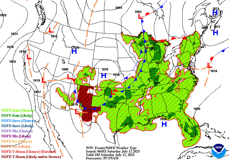
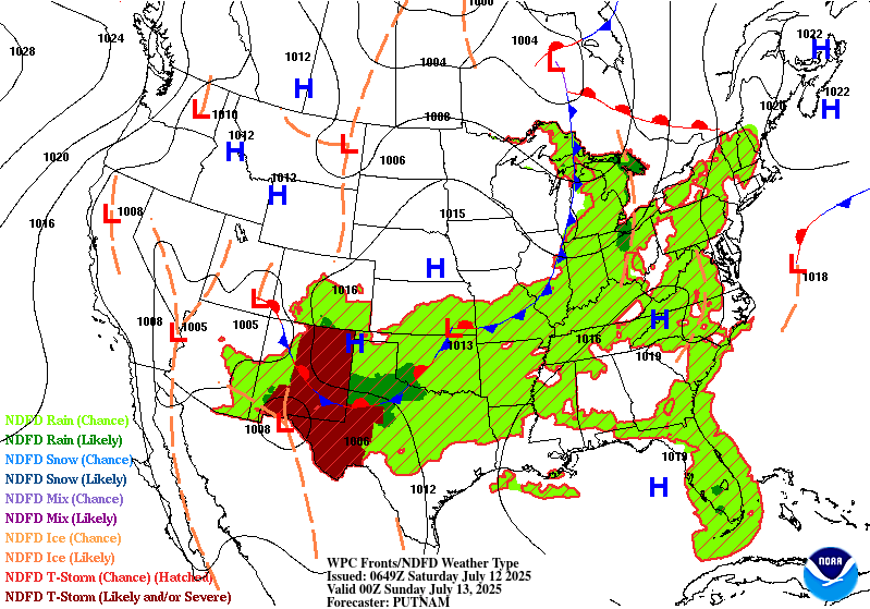
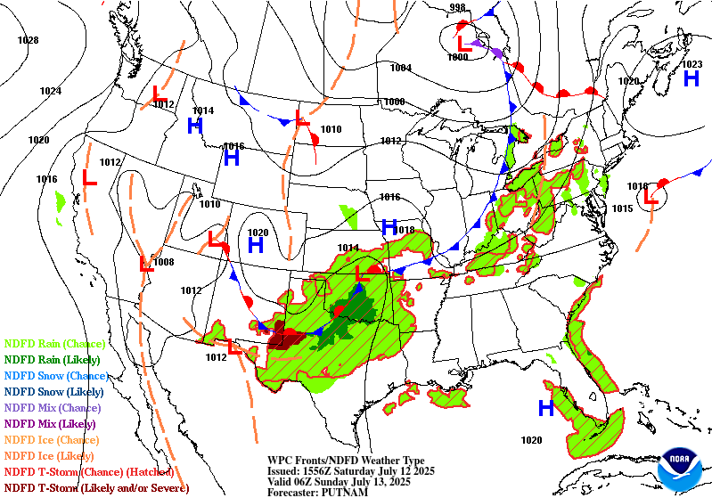
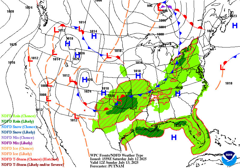
Extended Forecast Discussion
NWS Weather Prediction Center College Park MD
303 AM EDT Sat Jul 12 2025
Valid 12Z Tue Jul 15 2025 - 12Z Sat Jul 19 2025
...Much of Florida could see heavy rain next week...
...Overview...
A typical summertime pattern will be in place much of the medium
range period next week with an expansive upper ridge stretched
across the Southern U.S. and progressive shallow troughs moving
through the northern stream flow. A shortwave from the base of an
initially zonal jet across Canada will amplify over the northern
Rockies by Tuesday, drifting east through the northern Plains and
Great Lakes into next weekend. This trough will send a cold front
through the northern and central U.S. aiding convection over much
of the country from the Rockies and eastward. Elsewhere, weak low
pressure near/over Florida will keep daily rain threats over the
Sunshine State through the week, while monsoonal moisture increases
throughout the week in the Four Corners states to south-central
High Plains. Heat in the West early to midweek should lessen by
later next week, while warmer than average temperatures affect the
Ohio Valley to Northeast Tuesday onward.
...Guidance/Predictability Assessment...
The guidance tonight continues to struggle with the details and
timing of shortwaves trough the northern stream flow, but overall
show agreement on the larger scale pattern evolution next week. The
ECMWF was on the faster side with the main shortwave through the
northern Plains/Great Lakes, with the GFS slower. This should
progress across the Great Lakes next Friday with uncertainty on
additional reinforcing energy into the overall trough. A closed
upper low in the Gulf of Alaska early in the week will round a
strong ridge over the Northeast Pacific and drop southward towards
British Columbia and the Pacific Northwest. The evolution of this
gets somewhat murky by later in the week with the GFS more open and
much faster with this than the ECMWF and CMC which maintain closed
lows. The ensemble means are very weak and broad with this
feature, indicative of a lot of spread in various ensemble members
as well.
The WPC forecast tonight used a blend of the GFS, ECMWF, and CMC
early in the period, transitioning to majority ensemble mean
guidance by late period. Maintained some modest contributions from
the deterministic guidance though just for a little extra system
definition. Maintained relatively good agreement with the previous
WPC forecast as well.
...Weather/Hazards Highlights...
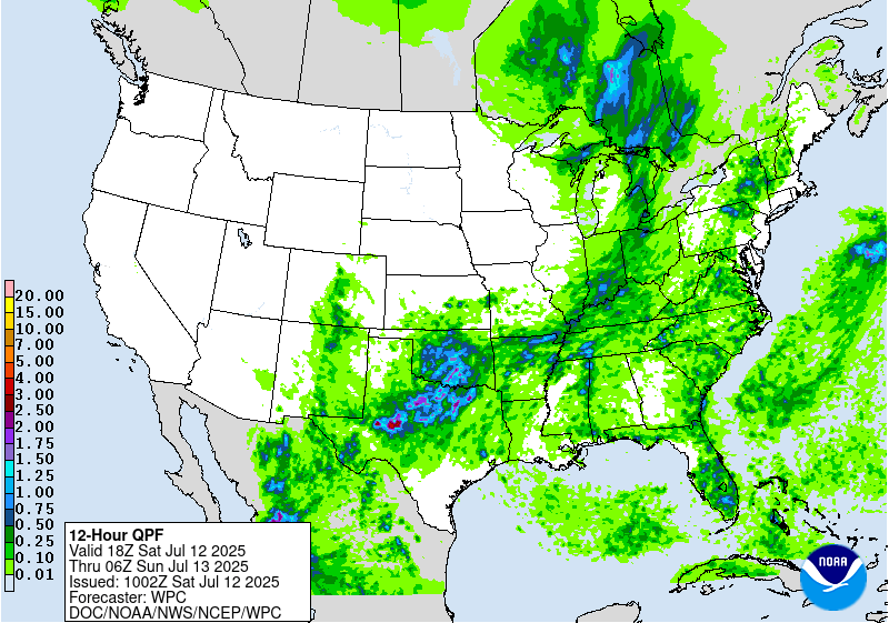
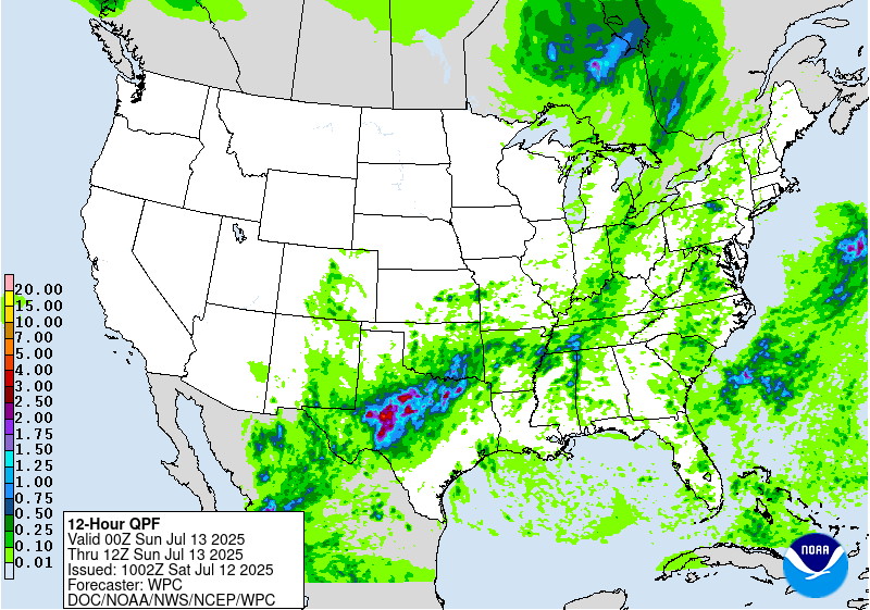
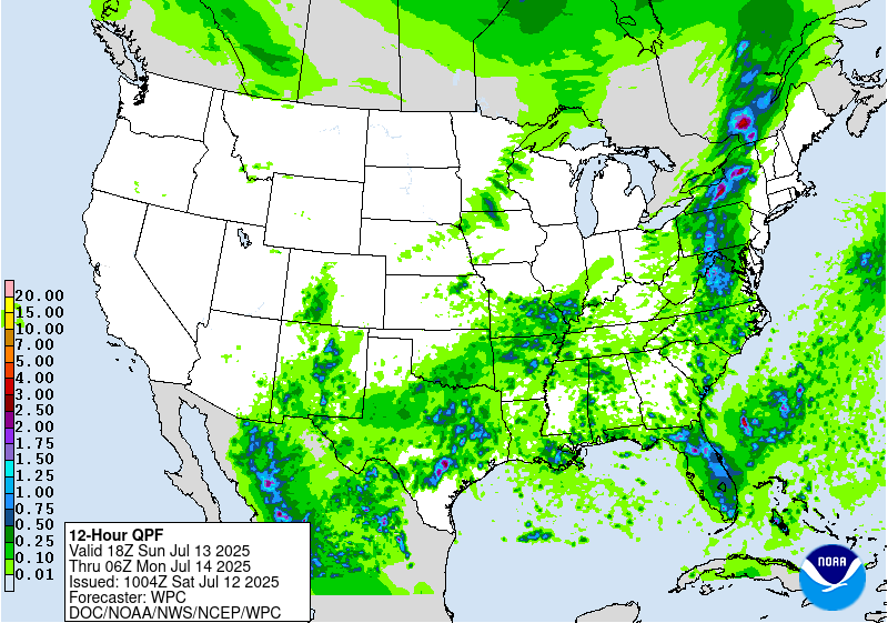
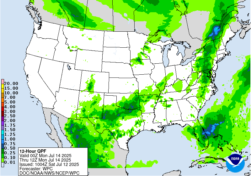
Much of the nation east of the Rockies will be active with typical
summertime convection in a warm and unstable airmass. First, a
lingering front across the East will maintain convective threats
across the Southeast. Just south, a weak surface trough/low will
retrograde across the Florida panhandle with enhanced moisture and
forcing to fuel a heavy rain threat. Models remain all over the
place in terms of amounts both across the Southeast and Florida, so
holding with nothing more than broad marginal risks right now for
both Day 4/Tuesday and Day 5/Wednesday Excessive Rainfall Outlooks
across the Southeast and Florida. Rainfall may shift westward with
time more towards the Gulf Coast later in the week.
Farther north, a cold front moving through the northern/central
Plains and eastward next week will support showers and
thunderstorms with ample moisture and instability, resulting in a
heavy to excessive rainfall threat. Both EROs on Tuesday and
Wednesday feature broad marginal risk areas from the northern High
Plains eastward into the Upper Midwest and southward towards the
Middle Mississippi Valley/Ohio Valley. These are intentionally
broader than they need to be just given the uncertainty in the
guidance on where convective maximas are, and it is possible that
smaller embedded slight risks may be needed if the guidance comes
into better agreement.
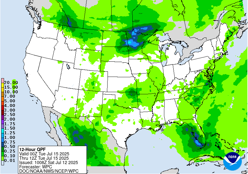
Elsewhere, monsoonal moisture will gradually increase in coverage
across the Southwest/Four Corners/southern Rockies region. For
Tuesday, continued a marginal risk in far western Texas and the
Sacramento Mountains (particularly over very sensitive burn scars),
with the marginal risk expanding westward into southeast Arizona
by Wednesday. More widespread monsoonal moisture will make its way
northward in this region later in the week.
Hot weather across the West should start to moderate by the start
of the period with temperatures below normal farther east into the
northern Plains with high temperatures 15 to 25 degrees below
normal for Tuesday and Wednesday. Temperatures look to be a few
degrees cooler than average for the south-central U.S. for much of
next week as clouds and rain hold temperatures down. The Great
Lakes and Northeast will see a return to above normal temperatures
on Tuesday after the trough clears, with somewhat widespread Major
(level 3/4) HeatRisk showing up in those areas by midweek.
Meanwhile the Southeast should be near normal to a few degrees
above, for typical summer heat and humidity.
Santorelli
Additional 3-7 Day Hazard information can be found on the WPC
medium range hazards outlook chart at:
https://www.wpc.ncep.noaa.gov/threats/threats.php
WPC medium range 500mb heights, surface systems, weather grids,
quantitative precipitation forecast (QPF), excessive rainfall
outlook (ERO), winter weather outlook (WWO) probabilities, heat
indices, and Key Messages can be accessed from:
https://www.wpc.ncep.noaa.gov/medr/5dayfcst500_wbg.gif
https://www.wpc.ncep.noaa.gov/medr/5dayfcst_wbg_conus.gif
https://www.wpc.ncep.noaa.gov/5km_grids/5km_gridsbody.html
https://www.wpc.ncep.noaa.gov/qpf/day4-7.shtml
https://www.wpc.ncep.noaa.gov/#page=ero
https://www.wpc.ncep.noaa.gov/wwd/pwpf_d47/pwpf_medr.php?day=4
https://www.wpc.ncep.noaa.gov/heat_index.shtml
https://www.wpc.ncep.noaa.gov/#page=ovw


