Excessive Rainfall Discussion
NWS Weather Prediction Center College Park MD
850 PM EDT Sat May 31 2025
Day 1
Valid 01Z Sun Jun 01 2025 - 12Z Sun Jun 01 2025
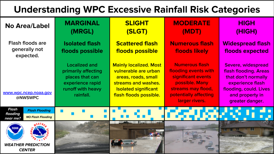
...THERE IS A MARGINAL RISK OF EXCESSIVE RAINFALL OVER PORTIONS OF
THE SOUTHERN PLAINS...
...01Z Update...
With rainfall rates gradually diminishing over the Northeast, the
Slight Risk and Marginal Risk over northern New England have been
taken out. While some localized ponding or run-off along complex
terrain in the Green/White Mountains and across northern Maine
cannot be ruled out, rainfall rates have diminished to the point
where the flash flood potential is effectively done. In the Central
Plains, the Marginal Risk was only tweaked after viewing 18Z HREF
guidance and new CAMs guidance.
Mullinax
--Previous Discussion---
...Southern Plains...
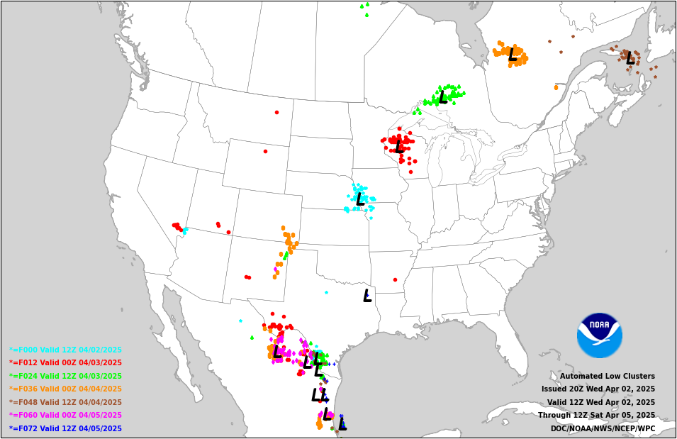
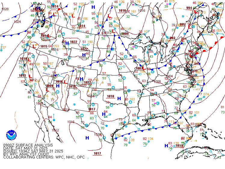
Broad NW flow on the upwind side of an expansive trough centered
over Ontario will persist over the Plains as an embedded but
potent shortwave tracks SE tonight. This shortwave will push a
wave of low pressure and weakening cold front south into Oklahoma
tonight, where it will interact with a slowly advancing warm front
out of Texas on the intensifying LLJ. This LLJ, progged to reach at
least a modest 20-25 kts from the SW, will transport more robust
thermodynamics (PWs to 1.5 inches and MUCAPE above 1000 J/kg), to
support expanding convection along this decaying cold front. With
bulk shear expected to be in the 30-40 kt range, convection will
likely grow upscale into clusters or an MCS tonight as it races
southeast on 20-25 kts of 0-6km mean winds. This this will limit
the duration of heavy rain, rates that will likely reach 1-2"/hr
could result in isolated instances of flash flooding, especially
during any short-term training that may develop on the periphery of
this MCS. The guidance, as expected, features considerable
longitudinal spread of the MCS path, which makes the cosmetic
adjustments to the inherited MRGL risk the best approach for the
risk area tonight.
Weiss
Day 1 threat area:
www.wpc.ncep.noaa.gov/qpf/94epoints.txt
Excessive Rainfall Discussion
NWS Weather Prediction Center College Park MD
430 AM EDT Sun Jun 1 2025
Day 1
Valid 12Z Sun Jun 01 2025 - 12Z Mon Jun 02 2025
...THERE IS A SLIGHT RISK OF EXCESSIVE RAINFALL OVER PORTIONS OF
THE SOUTHWEST...
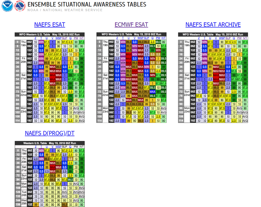
Impressive closed low off the northern Baja coast will gradually
fill and start to shift northeastward today.Downstream of this
low, southerly flow will strengthen, drawing increased moisture
and instability northward into the Southwest United States. This
will support impressive thermodynamics as precipitable water values
surge to 1.25-1.5 inches, above the 99th percentile according to
NAEFS (and in some areas above anything measured in the 06Z CFSR
climatology). Given the amount of overlap with MUCAPE climbing to
250-750 J/kg, convection is expected to blossom rapidly and then
organize through 25-35 kts of bulk shear. This organization within
the favorable thermodynamics and upper level dynamics will support
at least briefly heavy rain rates that may exceed 1"/hr (10-20%
chance). With storm motions slowing as the upper low pivots
overhead later this evening/tonight, this could produce pockets of
1-2" of rain, especially in the low deserts of AZ. Farther east,
aligned Corfidi vectors with the mean flow will allow for repeating
rounds of convection to lift northward, producing other areas of
1-2" of rain despite the faster progression. Saw little reason to
make too many changes to the previously issued Slight and/or
Marginal risk areas.
Bann
Day 1 threat area:
www.wpc.ncep.noaa.gov/qpf/94epoints.txt
Excessive Rainfall Discussion
NWS Weather Prediction Center College Park MD
430 AM EDT Sun Jun 1 2025
Day 2
Valid 12Z Mon Jun 02 2025 - 12Z Tue Jun 03 2025
...THERE IS A SLIGHT RISK OF EXCESSIVE RAINFALL OVER PORTIONS OF
THE CENTRAL HIGH PLAINS AND CENTRAL PLAINS AND OVER THE SOUTHEAST
FLORIDA PENINSULA...
...Central High Plains and Central Plains...
The mid-level low initially over Baja will continue to weaken and
shear out as it becomes embedded within pinched westerlies south of
a trough diving out of Montana. This will result in expanding deep
layer lift through height falls and modest deformation expanding
from the Four Corners through the Northern Plains as well as
additional ascent occurring as the northern stream trough drives a
cold front southeastward.
This synoptic setup will produce an expansive area of lift into
increasingly robust thermodynamics, and it is likely that a large
area of showers and thunderstorms will develop on Monday...with
southerly low- level flow increasing to as much as 40-50 kts at
850mb helping boost precipitable water values increase to 1.00 to
1.25 inches. This overlaps with MUCAPE rising to 250-1000 J/kg,
sufficient to produce rainfall rates of 0.5"-1"/hr. While there is
still some uncertainty in the placement of the heaviest rainfall,
the guidance is in general good agreement in a maximum of 2-3", or
locally higher as reflected by <10% probability for 3"/24 hrs from
the ECENS/GEFS, from eastern CO and WY through parts of southeast
South Dakota or eastern/northeastern Nebraska as well as in parts
of west Texas that form along the dryline.
Over parts of the Intermountain region...residual moisture from
Day 1 is expected to still be in place which enhances the prospect
for downpours from any slow moving storms which develop during the
late day or evening. This region is sensitive due to the variety
of slot canyons and other sensitive terrain, which feature FFG that
is as low as 0.5"/1hr.
...South Florida...
The 01/00Z model runs tended to show an uptick in the coverage and
rainfall amounts over southeast Florida...resulting in the
introduction of a Slight Risk area focused along the urbanized
corridor. As an upper trough digs south along the FL Panhandle and
into the peninsula, it will push a weakening cold front and
shortwave southward, enhancing ascent across the area before
stalling and potentially getting deflected northward. With PWs
approaching 2" overlapped with MUCAPE above 2000 J/kg, this will
support scattered to widespread heavy- rain producing convection on
Monday with the HRRR and RRFS showing the potential for amounts of
3 inches.
Bann
Day 2 threat area:
www.wpc.ncep.noaa.gov/qpf/98epoints.txt
Excessive Rainfall Discussion
NWS Weather Prediction Center College Park MD
430 AM EDT Sun Jun 1 2025
Day 3
Valid 12Z Tue Jun 03 2025 - 12Z Wed Jun 04 2025
...THERE IS A SLIGHT RISK OF EXCESSIVE RAINFALL OVER PARTS OF THE
CENTRAL US AND OVER A PORTION OF THE SOUTHERN FLORIDA PENINSULA...
...Texas to the Great Lakes...
The front pushing south- and eastward from the Northern Plains
will continue to encounter a moist airmass extending from Texas
northward towards the western/central Great Lakes region...with
maximum precipitable water values approaching 2.2 inches pooling
ahead of the front over northern Texas and eastern Oklahoma by late
Tuesday evening and values approaching 2 inches nearing the
southern Great Lakes by the end of the outlook period.
Thunderstorms forming in this airmass should be capable of
producing 1 to 2 inch per hour rates. While the storms should be
progressive...the alignment of the mean winds with the orientation
of the front does open up the potential for repeat convection or
training of cells and the associated risk of flash flooding.
...Southeast Florida...
Embedded impulses rotating around a building Atlantic ridge will
result in showers and thunderstorms lingering across parts of the
southern Florida peninsula...although the guidance was struggling
with placement. Given their handling of the evolution on Day 2...a
small Slight Risk area was embedded within a broader Marginal Risk
area and placed based on spaghetti plots of SREF/GEFS 2 and 3 inch
amounts.
Bann
Day 3 threat area:
www.wpc.ncep.noaa.gov/qpf/99epoints.txt
Extended Forecast Discussion
NWS Weather Prediction Center College Park MD
242 AM EDT Sun Jun 1 2025
the central part of the country will be wet for the start of the
extended period as a frontal system advances through the Northern
and Central Plains toward the Mississippi Valley. Scattered to
widespread convection is expected along and ahead of the front with
some of the embedded storms potentially producing heavy rainfall.
There is a growing signal for 3 to 7 inches to focus across Texas
and Oklahoma and for 3 to 5 inches for Iowa, Illinois and Missouri
WPC maintained the Slight Risk area for excessive rainfall/flash
flooding across for day 4 and added Slight Risk for the new Day 5
period for much of the same area in addition to western Arkansas.
Areas near the Iowa/Illinois border, the flash flood threat would
be primarily in urban areas. The front and associated shield of
precipitation is expected to track east/southward into the Southern
Plains and Lower Mississippi Valley/Mid-South by the end of next
week.
For the West and East Coasts drier conditions are expected under
the ridge. Florida which may see more appreciable rainfall over
the southern portions in the vicinity of a dying oceanic boundary,
where a Marginal Risk area for excessive rainfall/flash flooding
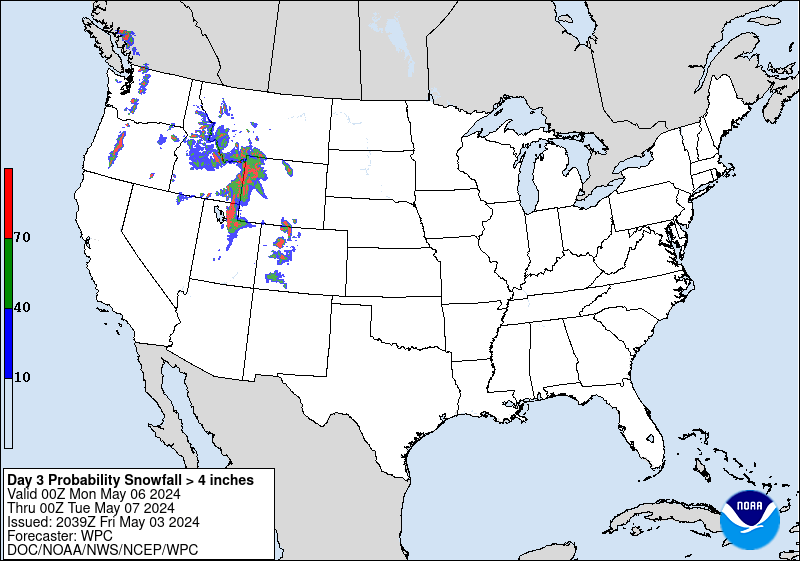
was added for day 4/Tuesday. Some mountain areas of Wyoming may see
a few inches of snow as colder air comes in behind the front.
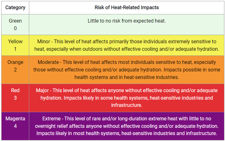
With time, temperatures will rise to near or above normal for the
eastern half of the country which will elevate the Heat Risk threat
level to Moderate. Daily maximums in the 80s/90s may increase heat
stress for some regions-- take precautions in the heat such as
increased water intake and more time in air conditioned areas to
avoid heat exhaustion and heat stroke. Parts of South Texas will
see more days of highs into the upper 90s and low 100s with low
probabilities (20-40%) of reaching heat index values of at least
110F. Much cooler temperatures will follow behind the cold front,
starting in the Rockies on Monday then into the Plains thereafter,
but moderating with time. Much of the West will see near to
slightly above normal temperatures, especially later in the week.
Campbell/Roth
