Extended Forecast Discussion
NWS Weather Prediction Center College Park MD
313 PM EDT Thu Jun 12 2025
Valid 12Z Sun Jun 15 2025 - 12Z Thu Jun 19 2025
...Heavy rain/flash flood threat from the south-central U.S. to
the Tennessee/Ohio Valleys and Mid-Atlantic Sunday to Monday...
...Multi-day Heavy Convective Rainfall threat for the northern
Plains/Upper Midwest next week...
...Southwest High Heat in to early next week and a hot/humid
airmass for the South next week...
...General Overview...
Slow moving shortwave trough energy aloft will gradually shift over
the south-central to eastern U.S. this weekend into next week with
periodic reloading from impulse energy digging to the lee of an
amplified upstream ridge building from the Southwest to the central
U.S.. This will keep the weather unsettled through much of the
period with widespread showers and thunderstorms to include
difficult to pinpoint cell focus, but offers quite viable threats
for heavy to excessive rainfall over a broad area. Shortwave energy
originating from troughing over the Northwest will meanwhile slide
over the northern tier states with accompanying showers and
storms. An upper trough will work toward the Southwest and weaken
into next midweek, with another trough taking shape off the
Northwest mid- later next week. Upper ridging will focus high heat
over the Southwest mainly Sunday and Monday, with sticky heat
spreading in earnest across much of The South next week. There are
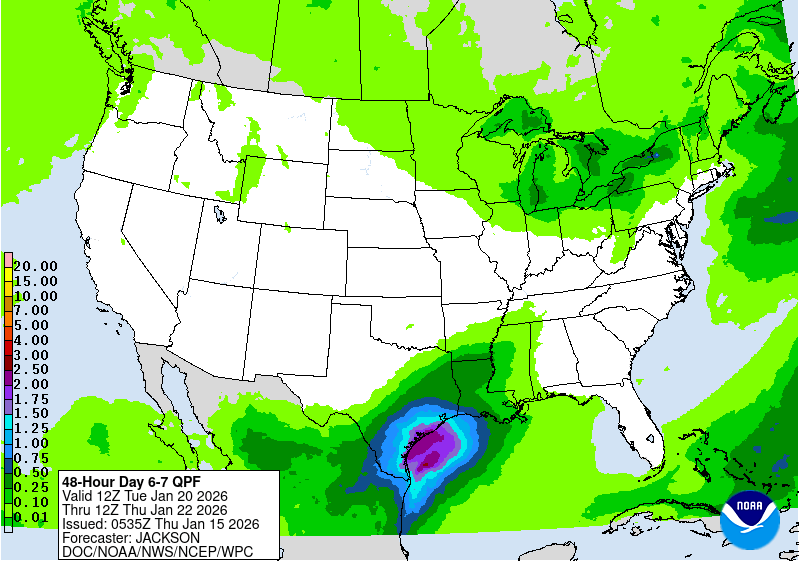
growing signals for an enhanced tropical moisture feed from the
Gulf to northeast Mexico and South Texas in a week to monitor for
signs of system development out from the Bay of Campeche/vicinity.
...Guidance/Predictability Assessment...
Guidance remains in reasonably good agreement with most of the
synoptic scale features and offers good pattern predictability.
However, guidance continues to suffer from widespread smaller
scale system and convective focus variances. Accordingly, the WPC
medium range product suite was mainly derived from a blend of
GFS/ECMWF/CMC/UKMET model and GEFS/ECMWF/Canadian ensemble mean
solutions along with the compatible National Blend of Models and
WPC continuity through medium range time scales. The blend process
tends to smooth system detail consistent with feature probability.
Applied manual adjustments to ensure sufficient QPF as warranted
with areas of enhanced moisture/instability and slow translation.
...Weather/Hazards Highlights...
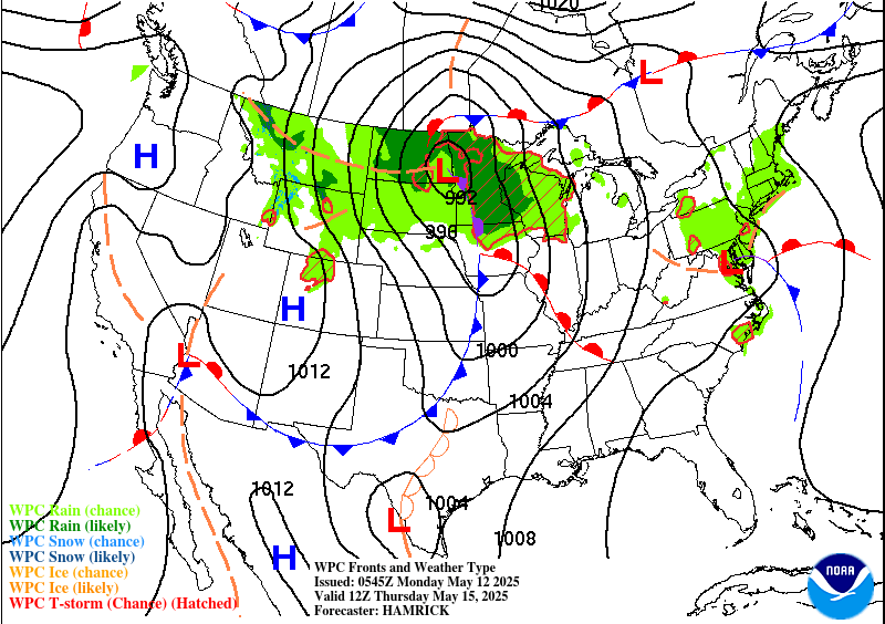
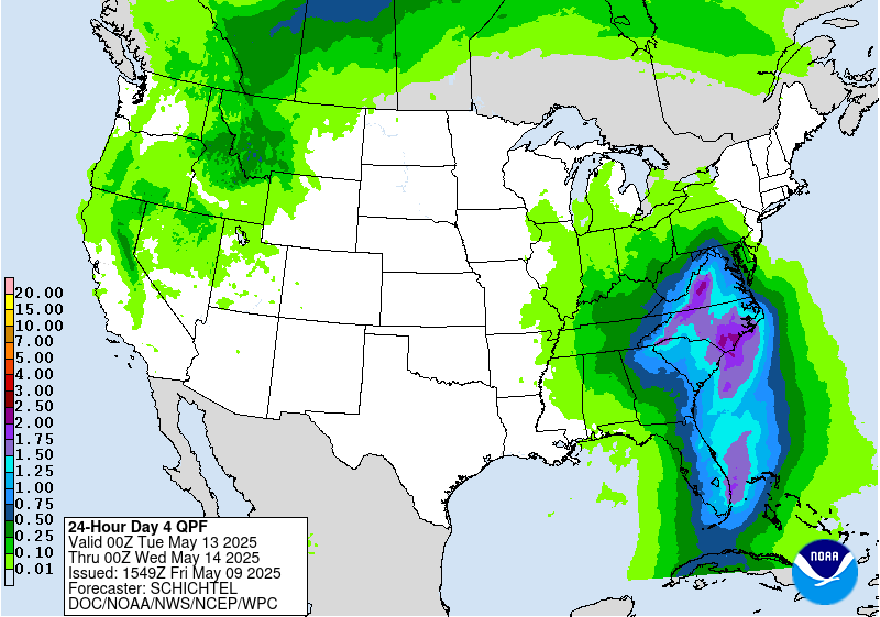
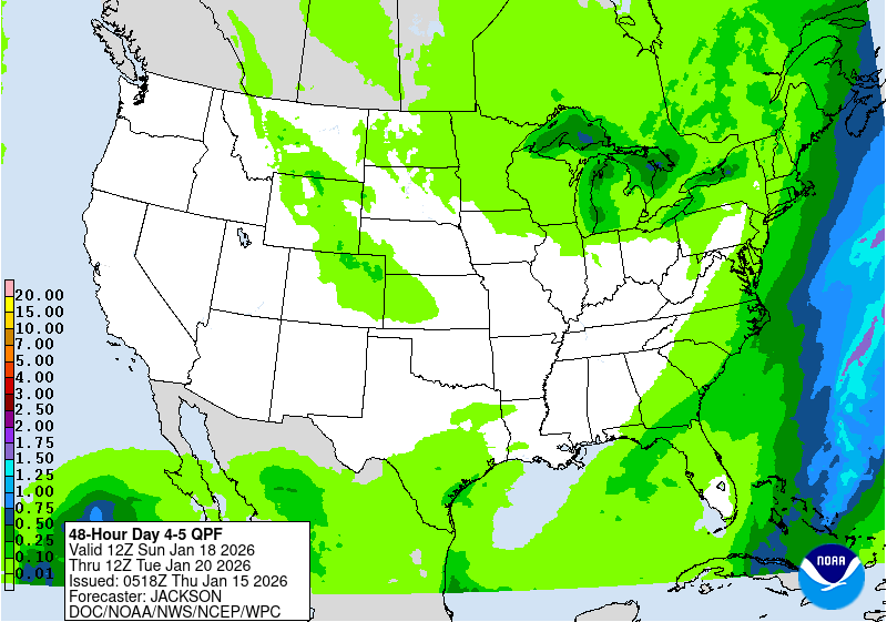
Daily showers and thunderstorms are expected to be widespread from
the southern Plains and Gulf Coast to the Ohio Valley/Mid-Atlantic
and into the Northeast associated with persistent and pesky upper
level impulse/trough energies impacting the broad region. There
remains a lot of uncertainty in the details, but there is some
better general agreement that heavier rains may focus along/near a
slow moving a wavy frontal boundary draped across the Mid-Atlantic
and westward. A moist and unstable surrounding environment from
the Central to Eastern U.S. necessity the continuation of a very
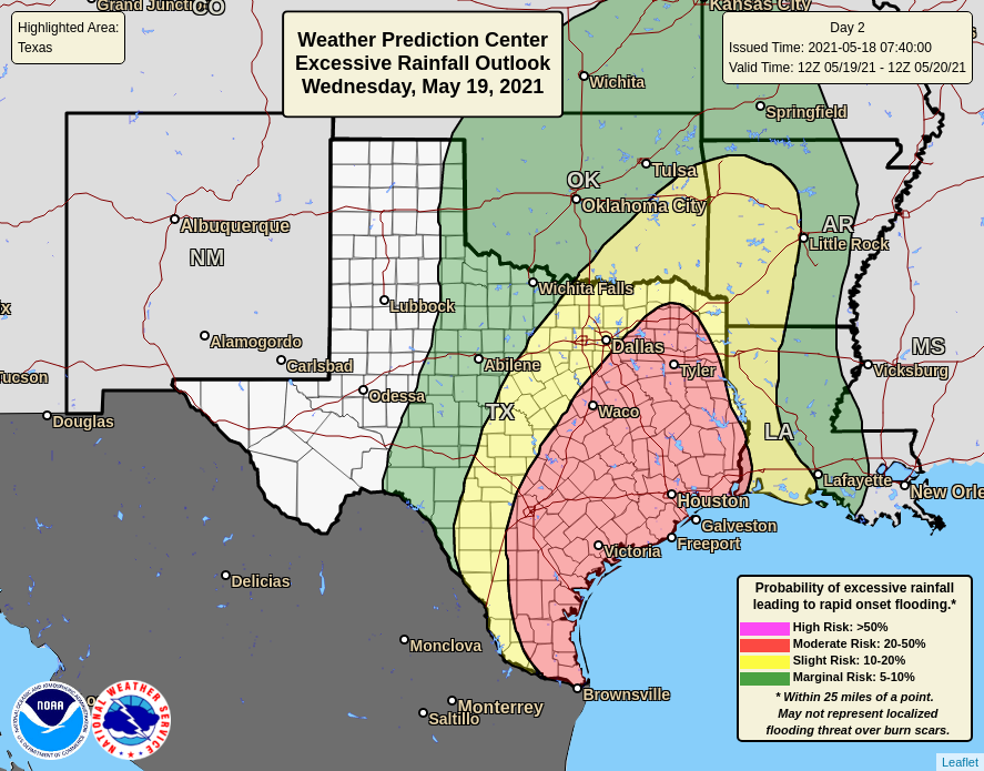
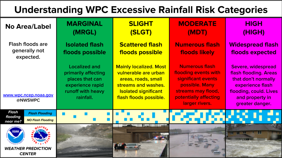
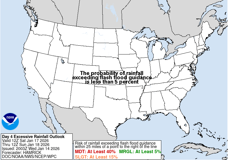
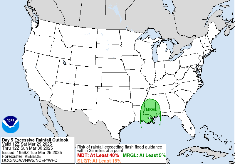
broad WPC Marginal Risk area on the Day 4/Sunday WPC Excessive
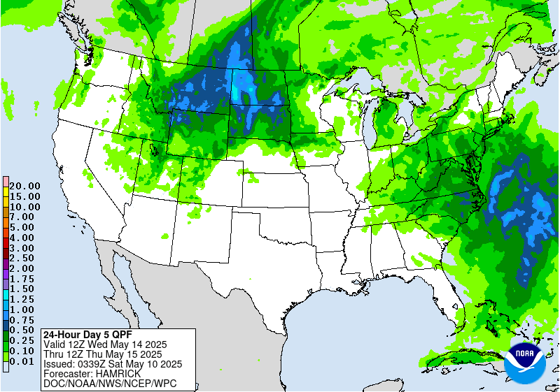
Rainfall Outlook (ERO) for at least Sunday and especially the Mid-
Atlantic into Monday for the Day 5 ERO, but convective downpours
will continue farther south and west in a moist airmass. Overall
signal is for a wet pattern, and it's likely embedded slight risk
areas will be needed once guidance signals become more defined with
time. Farther north, shortwave energy through the northern tier
will support showers and strong storms, with marginal risks
highlighted on both the Day 4 and 5 EROs for convective complex
potential over the northern Plains. Moderate to heavier rain may
try to materialize moreso on Monday/Day 5 across parts of the
north- central U.S. as a stronger shortwave moves into the Plains,
with the Marginal Risk expanded accordingly.
Expect above normal temperatures to slowly spread from the
Intermountain West and Rockies into the PLains into next week
under the influence of a mean upper ridge, with some moderation in
spots with systems moving through. Temperatures should be closer to
normal along the West Coast. To the South, hazardous heat will
continue into early next week for the Desert Southwest with highs
making a run at 110 degrees for the lower elevations of southern
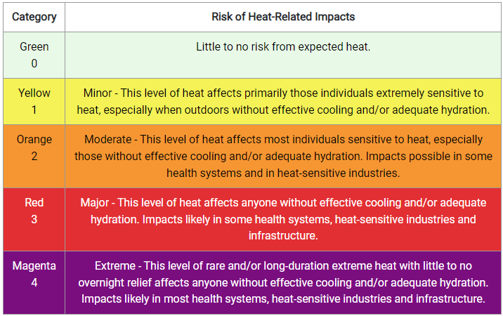
Arizona and southeast California, with Heat Risk likely reaching
the major category. Shortwave energy should moderate temperatures
after Monday. Meanwhile, slightly below average temperatures are
likely for the Northeast/northern Mid-Atlantic this weekend into
at early next week as this region will be north of the main
frontal boundary. Heat Risk also develops widespread Moderate to
Major Category heat threat levels for The South and Mid-South next
week as a hot and humid airmass builds in. This will increasingly
include record high overnight temperatures over time.
Schichtel/Santorelli
Additional 3-7 Day Hazard information can be found on the WPC
medium range hazards outlook chart at:
https://www.wpc.ncep.noaa.gov/threats/threats.php
WPC medium range 500mb heights, surface systems, weather grids,
quantitative precipitation forecast (QPF), excessive rainfall
outlook (ERO), winter weather outlook (WWO) probabilities, heat
indices, and Key Messages can be accessed from:
https://www.wpc.ncep.noaa.gov/medr/5dayfcst500_wbg.gif
https://www.wpc.ncep.noaa.gov/medr/5dayfcst_wbg_conus.gif
https://www.wpc.ncep.noaa.gov/5km_grids/5km_gridsbody.html
https://www.wpc.ncep.noaa.gov/qpf/day4-7.shtml
https://www.wpc.ncep.noaa.gov/#page=ero
https://www.wpc.ncep.noaa.gov/wwd/pwpf_d47/pwpf_medr.php?day=4
https://www.wpc.ncep.noaa.gov/heat_index.shtml
https://www.wpc.ncep.noaa.gov/#page=ovw
