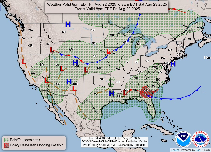
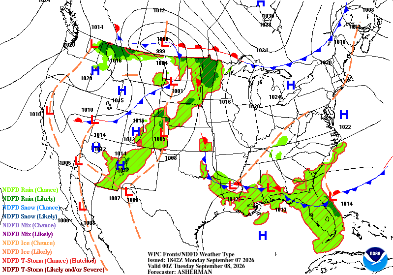
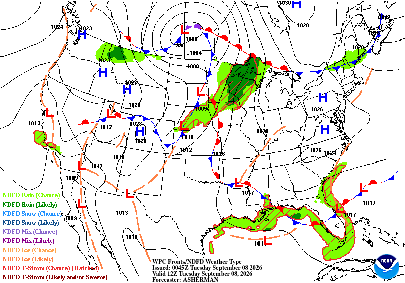
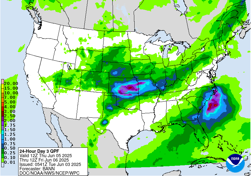
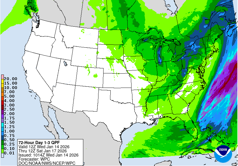
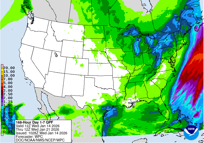
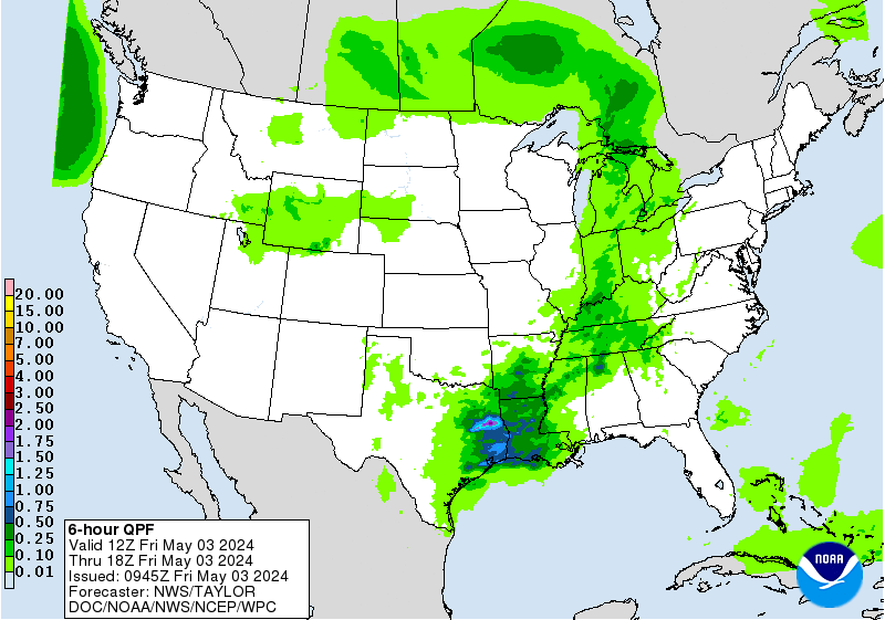
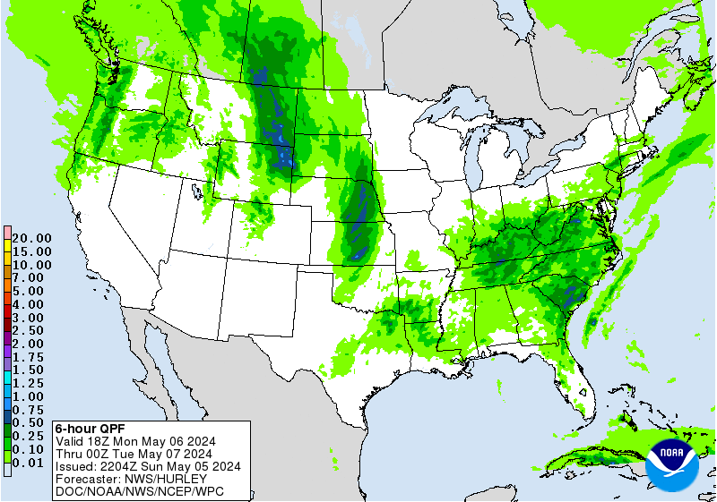
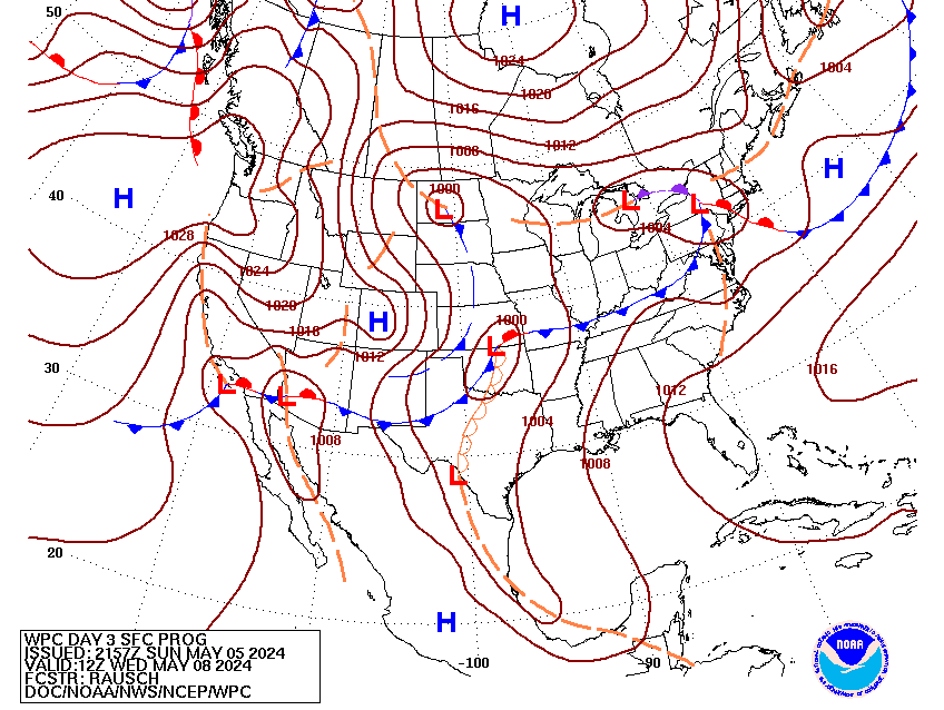
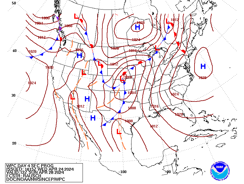
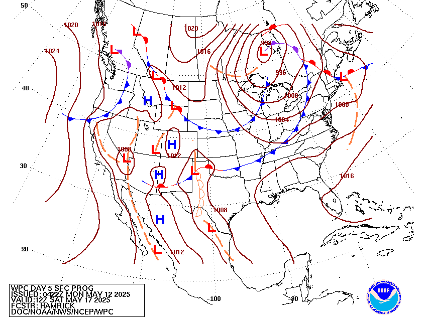
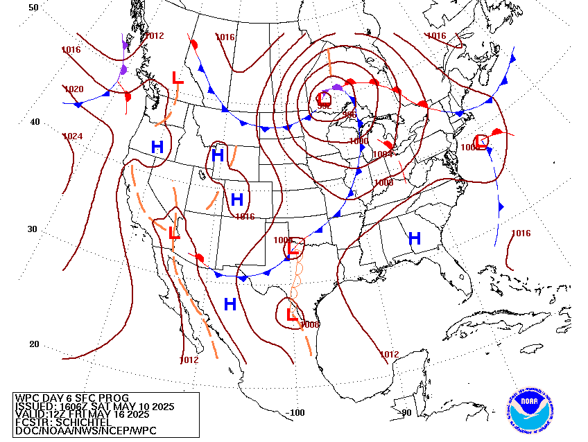
Valid Wed Jul 15, 2026
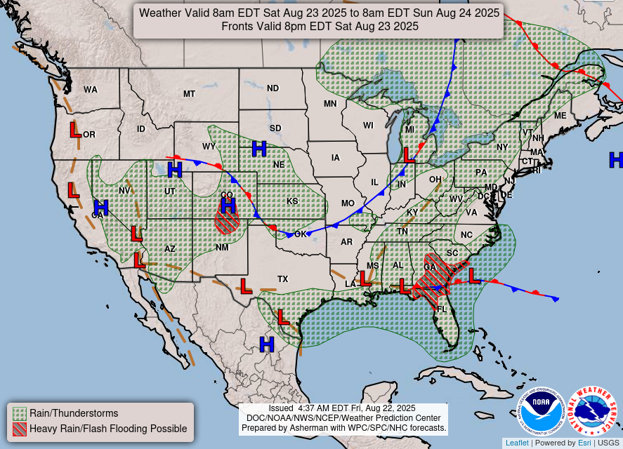
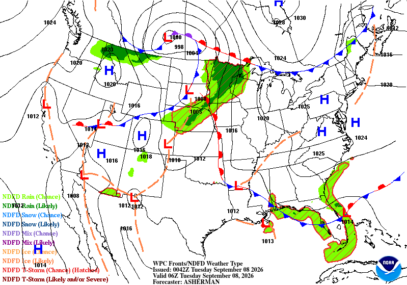
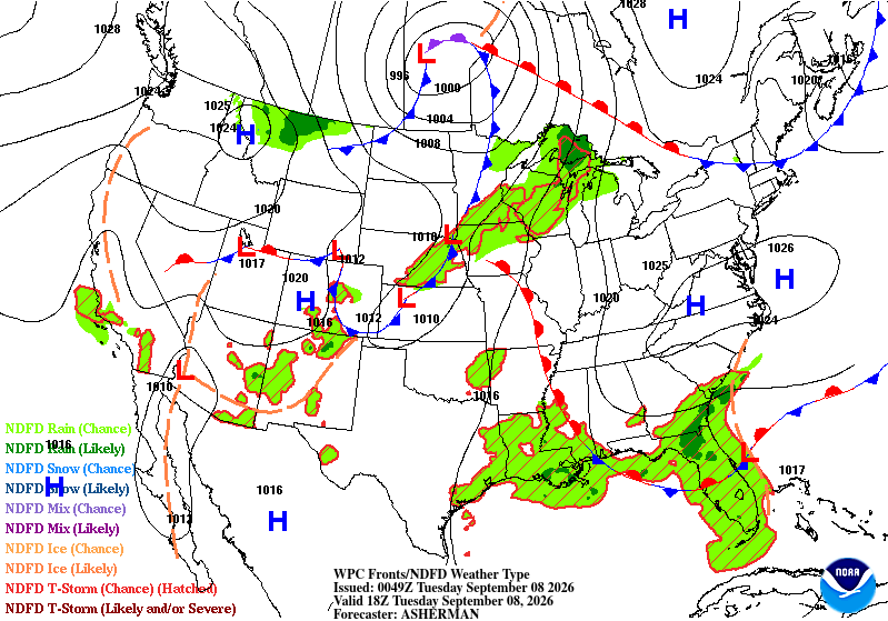
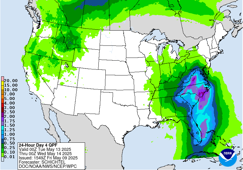
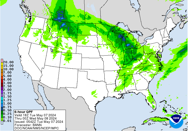
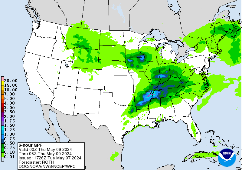
Valid Thu Jul 16, 2026
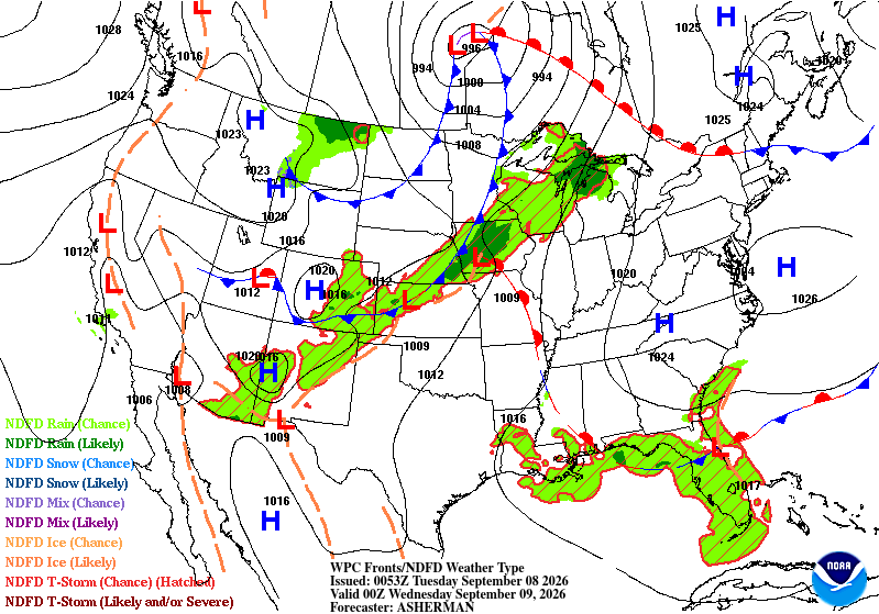
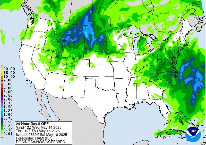
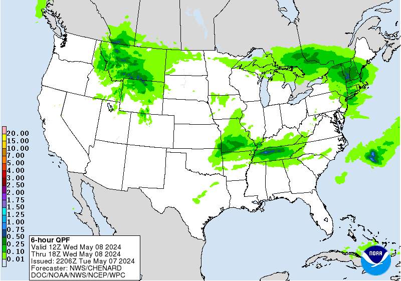
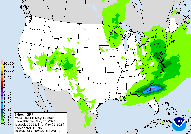
Valid Fri Jul 17, 2026
+ Additional Links
- » Description of the National Forecast Chart
- » Product Archives
- » Download hazards in KML or shapefile format or GeoJSON format

Mesoscale Precipitation Discussion #0737 is currently in effect

Latest Summary for Heavy Rainfall in Texas Hill Country.

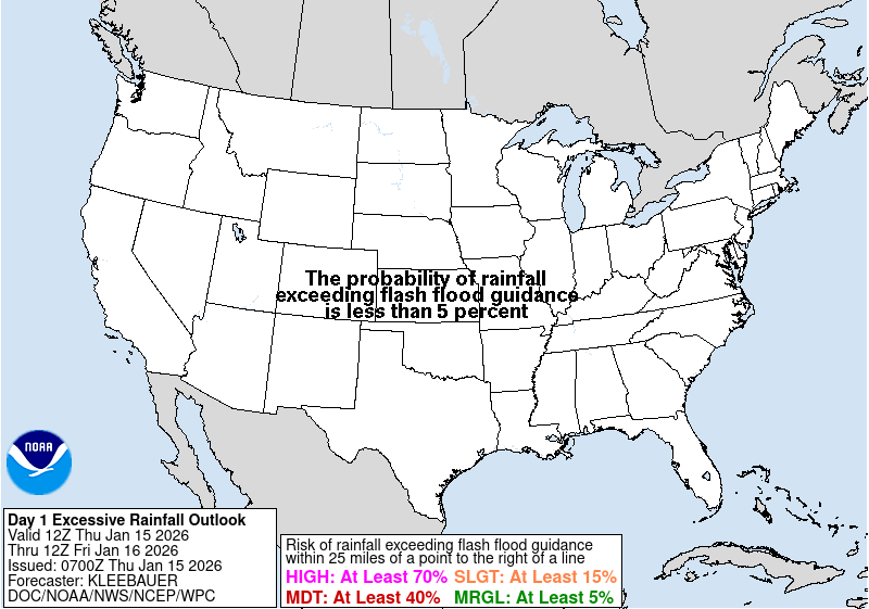
Day 1 Moderate Risk of excessive rainfall is in effect

Latest Key Messages for Mid-July Heat Wave

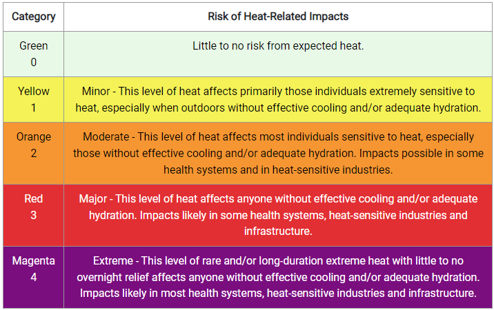
Check out the HeatRisk page to understand potential heat impacts.

Explore WPC's experimental Probabilistic Precipitation Portal


NWS Weather Prediction Center College Park MD
346 PM EDT Wed Jul 15 2026
Valid 00Z Thu Jul 16 2026 - 00Z Sat Jul 18 2026
...Additional excessive rainfall likely across the Texas Hill Country...
...Anomalous heat and humidity continuing across the Northern Plains/Upper
Midwest while spreading into the northern Mid-Atlantic...
...Monsoonal showers and thunderstorms develop across the interior western
U.S...
...Severe thunderstorms for portions of Montana Thursday as well as strong
thunderstorms for northern New England...
Prolonged heat and humidity expected for the Northern Plains and Great
Lakes with daily maximums holding steady in the 90s to lower 100s for the
next few days. Some cooler, drier air is expected to reach the U.S.-
Canadian border as
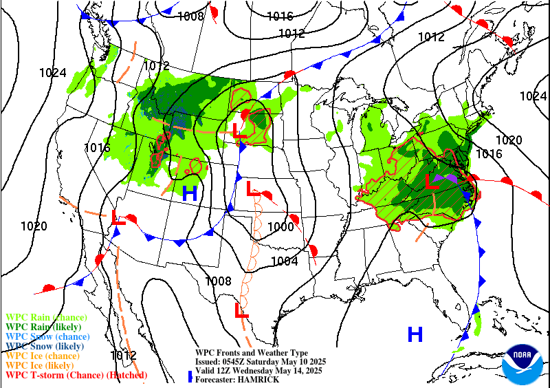
a cold front trailing from a deepening cyclone across eastern Canada.
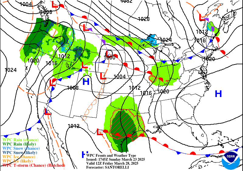
Temperatures will hover around the 80s there. Meanwhile, the heat and
increased humidity will return to the northern Mid-Atlantic through
Thursday when triple digit high temperatures are expected at the hottest
locations. Extreme Heat Warnings remain in effect across portions of the
Northern Plains as Heat Advisories and some Extreme Heat Warnings are
posted for much of the Great Lakes, portions of New England and the
northern Mid-Atlantic. If you will be situated within any of these areas
forecast to experience extreme heat, stay hydrated, take frequent breaks,
and limit outdoor activities if possible.
Severe thunderstorms are possible across Montana on the backside of a low
pressure wave near the western end of the end. Cooler air will penetrate
deeper into New England by Thursday morning under gusty westerly winds
behind the cold front followed by a reinforcing shot of cooler air by
Friday morning with the passage of a second cold front. In addition, some
strong thunderstorms are possible later on Thursday across northern New
England prior to the arrival of the second cold front.
As the anomalous upper high sprawls across the northern stats a
slow-moving weather regime has set up across the southern tier states. A
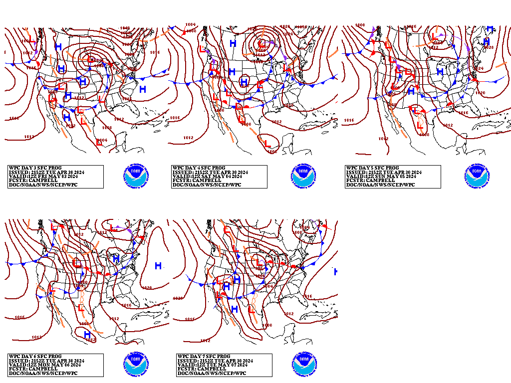
nearly stationary front will also stretched from the Southern Plains to
the Southeast. Upper-level vortices will likely interact with the wavy
frontal boundary and influx of Gulf moisture to produce repeated rounds of
showers and thunderstorms for the southern states. Near the western end
of the front, a significant heavy rainfall event is forecast to linger
across the Texas Hill Country over the next three days as clusters of
thunderstorms could mutually amplify the smaller scale upper-level
vortices to further enhance rainfall over this region under this
slow-moving weather pattern. The latest rainfall forecast calls for storm
total rainfall amounts of 6-8" with locally 10+ inches possible over the
next couple of days, which could lead to dangerous flash flooding as soils
in the area become increasingly inundated.
There will be an influx of monsoonal moisture to trigger afternoon and
evening thunderstorms over the Four Corners, Intermountain West, and the
eastern portion of the Great Basin. Scattered thunderstorms are also
forecast from the Deep South to the Southeast near the stationary front,
which will be lifting farther north into the Mid-Mississippi and Ohio
Valleys later on Thursday. A few instances of flash flooding and severe
weather are possible in the strongest storms through midweek.
Kong/Campbell/Asherman/Otto
Graphics available at
https://www.wpc.ncep.noaa.gov/basicwx/basicwx_ndfd.php
NWS Weather Prediction Center College Park MD
321 AM EDT Thu Jul 16 2026
Valid 12Z Sun Jul 19 2026 - 12Z Thu Jul 23 2026
...Dangerous heat will gradually subside in the north-central U.S.
early next week...
...Overview...
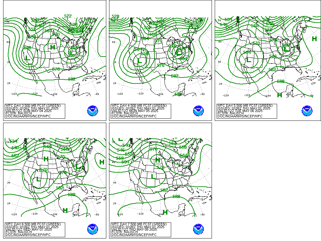
An upper ridge over the western and central U.S. into Sunday will
continue to cause dangerous heat across the northern/central
Plains. The northeast side of the ridge will get gradually
suppressed by shortwave energy entering the Midwest/Great Lakes
into a northeastern U.S. upper trough, which will bring relief from
the heat to northern areas as the trough pushes cold fronts
through the region. The shortwaves and fronts in the broader trough
should also yield rounds of rain and thunderstorms in the Great
Lakes to East Coast next week. Additionally, ample monsoonal
moisture will continue to stream into the Southwest and
Intermountain West, producing rounds of showers and thunderstorms.
...Guidance/Predictability Assessment...
Model guidance continues to be reasonably agreeable on the large
scale pattern, including the upper ridge atop the Rockies to Plains
Sunday while a trough axis is atop the East. A shortwave should
round the northern side of the ridge and drop into the Upper
Midwest/Great Lakes region early next week (pressing a cold
front/fronts south). This works to deepen the eastern trough and
push the upper ridge axis westward a bit into the Intermountain
West. The timing of this shortwave shows fairly good consensus
through early Tuesday, but after that there are model differences
with the speed of it and its associated surface fronts. Recent GFS
runs appear to be on the fast side by midweek as the AIFS, ECMWF,
and CMC are all slower.
Model differences persist with the potential for a tropical low in
the northeastern Gulf. Recent guidance is not particularly strong
with a low overall, and ensemble members are split with when/if a
low would track out of the northeastern Gulf across northern
Florida, Georgia, and South Carolina Sunday-Monday. Elongated
surface troughing may be in place regardless, which could enhance
rain amounts in Florida and the Southeast. The National Hurricane
Center is tracking the possible formation of a tropical system and
shows low probabilities for now. Continue to monitor NHC forecasts
for the latest.
The WPC forecast was based on a multi-model blend early in the
period, with increasing proportions of the ensemble means to around
half by Day 7.
...Weather/Hazards Highlights...
Another hot day is in store Sunday for the northern/central
Plains, as temperatures near/exceed 100F, yielding Major to
isolated Extreme HeatRisk. WPC continues to update Heat Key
Messages for this event, which can be found on our homepage. The
ridge influence farther south will also lead to generally Major
HeatRisk stretching into the central Plains and Middle/Lower
Mississippi Valley to Southeast. The hot conditions should slowly
ease in the northern states into the workweek, but be maintained in
the south. Temperatures a few degrees above already warm averages
combined with high humidity could lead to increased HeatRisk in the
south-central U.S. and Gulf Coast states.
Meanwhile, the southwestern to south-central U.S. could see
slightly below average temperatures as ample moisture leads to
clouds and rain/thunderstorms. Continued southerly flow under the
broad upper ridge will draw significant monsoonal moisture into the
Southwest and Intermountain West to Rockies. This moisture will
lead to scattered to numerous showers and thunderstorms with the
potential to produce heavy rainfall and localized flash flooding.
Sensitive places such as burn scars, steep terrain, etc., would be
the most vulnerable to any flooding concerns that may develop.
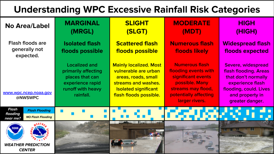
Broad Marginal Risks of excessive rainfall are in place from the
Southwest across much of the Intermountain West for Day 4-5
(Sunday-Monday). Coverage of showers and thunderstorms should
gradually increase eastward over the Rockies and High Plains early
to midweek.
Elsewhere, southern stream energy is forecast to meander in the
northeastern Gulf in a moist and unstable environment early next
week. Troughing and tropical moisture in place (even if there is no
true tropical low) could lead to heavy rain, and Marginal Risks
are in place for portions of northern/central Florida for isolated
flash flooding on Sunday and Monday. Meanwhile the tail end of a
frontal boundary could hang up in eastern North Carolina and
Virginia and produce locally heavy rain on Sunday. The next round
of rain and thunderstorms is forecast to come through the Midwest
and Great Lakes early next week underneath a shortwave aloft. As
the shortwave and front move southeast, rain chances should
overspread much of the eastern U.S. for Tuesday-Wednesday.
Tate
Additional 3-7 Day Hazard information can be found on the WPC
medium range hazards outlook chart at:
https://www.wpc.ncep.noaa.gov/threats/threats.php
WPC medium range 500mb heights, surface systems, weather grids,
quantitative precipitation forecast, excessive rainfall outlook,
winter weather outlook probabilities, heat indices and Key Messages
are at:
https://www.wpc.ncep.noaa.gov/medr/5dayfcst500_wbg.gif
https://www.wpc.ncep.noaa.gov/medr/5dayfcst_wbg_conus.gif
https://www.wpc.ncep.noaa.gov/5km_grids/5km_gridsbody.html
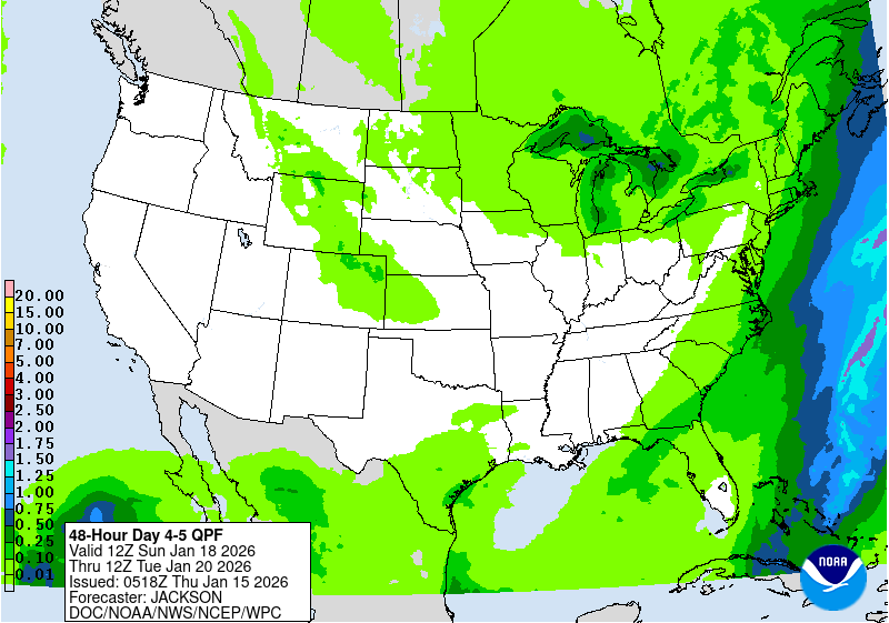
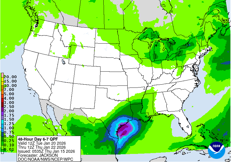
https://www.wpc.ncep.noaa.gov/qpf/day4-7.shtml
https://www.wpc.ncep.noaa.gov/#page=ero
https://www.wpc.ncep.noaa.gov/wwd/pwpf_d47/pwpf_medr.php?day=4
https://www.wpc.ncep.noaa.gov/heat_index.shtml
https://www.wpc.ncep.noaa.gov/#page=ovw
Hawaii Extended Forecast Discussion
NWS Weather Prediction Center College Park MD
352 AM EDT Thu Jul 16 2026
Valid 00Z Fri 17 Jul 2026 - 00Z Fri 24 Jul 2026
General persistence in the pattern across the Northern and Central
Pacific with a few potential tropical disturbances materializing
well to the southeast off Mexico that could weaken flow a touch
as we step into next week. Outside those features of interest,
prevailing easterly flow around the base of a sprawling ridge
positioned to the north should allow for consecutive days of
shower development on the windward side of the islands with much
of the island chain remaining relatively dry through the weekend
outside those notorious upslope spots within the eastern-most
islands. Relatively benign pattern overall for the next several
days.
Kleebauer


+ Forecast Discussion
Excessive Rainfall Discussion
NWS Weather Prediction Center College Park MD
852 PM EDT Tue Jul 14 2026
Day 1
Valid 01Z Wed Jul 15 2026 - 12Z Wed Jul 15 2026
...THERE IS A HIGH RISK OF EXCESSIVE RAINFALL IN THE TEXAS HILL
COUNTRY...
01Z Excessive Rainfall Discussion Update...
Introduced a targeted Slight Risk area in Montana given trends in
satellite and radar imagery during the late afternoon combined with
the anomalously deep moisture in place. Mesoscale Precipitation
Discussion 722 had recently been issued. Convection had been
struggling to produce much in the way of intense rainfall rates or
rainfall accumulations as it crossed into parts of New England from
Canada. It was presumed that cloud cover and smoke aloft had
limited the instability. As a result...the Marginal Risk was
removed.
Texas Hill Country remained the prime candidate for high impact
and potentially life-threatening flash flooding throughout the
night and even beyond the end of the Day 1 period at 12Z on
Wednesday. Refer to the Day 2 ERO/ERD for details of the
continuation of the High Risk.
Beyond that...there were some minor adjustments to the previously
issued outlook areas but there was no fundamental shift in forecast
reasoning. The expectation was that the convection across much of
the Western US will fade later tonight but that it was too soon to
remove from the ERO.
Bann
Previous Excessive Rainfall Discussion...
...Texas Hill Country...
Portions of the TX Hill Country witnessed torrential rainfall last
night and this morning that will continue to unfold through
midday. Radar estimates show anywhere for 6-10" of rain have fallen
in Medina, Uvalde, and Bandera counties (locally around 12") and
have already led to reports of numerous flooded roadways and water
rescues. Looking ahead, the atmosphere is primed for additional
rounds of Excessive Rainfall with hourly rates between 2-4" likely.
The 12Z RAOB out of Del Rio, TX showed an abundance of moisture
aloft (2.28" PW, well above the 90th climatological percentile) and
sufficient instability for thunderstorms to work with (~1,600 J/kg
of MLCAPE). The MCV north of Del Rio is the catalyst for this
event, tapping into the rich moisture and unstable air-mass to
generate numerous showers and thunderstorms. Overnight CAMs
struggled with the placement and duration of the storms this
morning, although new 12Z guidance is catching on better and is in
largely good agreement that storms will continue through early
afternoon. Many new 12Z CAMs suggest a brief lull may occur this
afternoon, but the presence of the MCV is likely to keep some
storms in the heart of TX through early evening.
By tonight, the LLJ over South TX will strengthen and act to re-
supply additional low-level moisture towards the MCV, which is
forecast to hover near Del Rio, TX. The combination of upscale
ascent supported by the MCV, the LLJ intersecting a nearby stalled
frontal boundary, and natural topographic upslope into the Hill
Country west of I-35 will reinvigorate thunderstorm activity
tonight. It is worth noting that all CAMs do have an axis of
Excessive Rainfall with amounts in the 2-4" range overnight (locally
higher than 6"), but they disagree on placement. The 12Z HREF and
06Z REFS are keying in on areas closer to the MCV, essentially from
Medina/Bandera counties on WNW towards Del Rio with moderate
chances (40-60%) for additional rainfall totals >3" and low
chances (10-30%) for rainfall >5" between 00-12Z. Some members,
such as the 12Z HRRR and 12Z RRFS, show the axis of heavy rainfall
encroaching upon the western San Antonio suburbs. Given the
rainfall that the current atmospheric environment has already
produced, additional rainfall totals of 3-6" are forecast for the
remainder of today and through tonight in the TX Hill Country with
localized amounts over 10" possible. Reminder that this discussion
strictly focuses on 16Z today through 12Z Wednesday (Day 1), so
this does not take into account the rainfall still to come for Day
2 and the second half of the week.
In collaboration with the NWS San Antonio/Austin office, given the
likelihood for additional significant rainfall in areas slammed
with heavy rainfall and ongoing flooding this morning, a High Risk
was introduced for the 16Z update. Significant to locally
catastrophic flash flooding is forecast to continue today and, with
additional heavy rainfall tonight, likely to persist into tonight
and early morning Wednesday. Potential impacts include
flooded/impassable roads, flooded creeks/streams, and potential
inundation of homes. Please have a reliable means of receiving
weather warnings and information from local/state officials.
Elsewhere, some minor tweaks to the inherited Moderate and Slight
Risks were made to account for latest 12Z guidance, but otherwise
the setup featuring a pooling of anomalous moisture along a stalled
frontal boundary will continue to trigger additional strong storms
and scattered areas of flash flooding through this evening.
...Coastal South Carolina...
A Slight Risk was introduced along the South Carolina coast with
this update. The 12Z CHS sounding measured a 2.26" PW (above the
90th climatological percentile), MLCAPE over 1,000 J/kg, and a warm
cloud layer over 14,000ft deep. Storms have already flared up along
a frontal boundary both over land and at sea, and as daytime
heating ensues, additional strong thunderstorms are likely to
develop. Storms will be generally slow moving and can produce 3"/hr
rainfall rates with locally more intense, shorter bursts of
torrential rainfall possible. The 12Z HREF shows low-to-moderate
chances (20-50%) for localized areas of the SC coast receiving over
5" this afternoon. The area has dealt with locally heavy rainfall
in recent days and is a little more susceptible to rates
approaching 3"/hr, particularly in the more urbanized communities.
Mullinax
---Previous Discussion---
...Southeast into Southern Mid Atlantic...
General consensus on widespread convective development across the
southern Carolina's into the Southeast lends to at least a broad
MRGL risk for flash flooding in any area north of I-4 with a
relative max for heavy rain situated across portions of MS/AL
thanks to the presence of a meandering upper level disturbance over
the area. WV satellite this evening pin-points a weak upper level
circulation centered over northern MS with an extremely slow
propagation to the west-southwest over the past several hours. This
particular upper circulation will be a focal point for enhanced low
to mid-level convergence later this afternoon interacting with what
is a formidable moist/unstable environment across the Southeast
CONUS. Scattered to widespread showers and thunderstorms will
materialize across northern LA over into MS and AL during peak
diurnal destabilization leading to pulse/multi-cell convective
development over the region with heavy rain prospects likely very
high considering the environment in place. Wetbulb zero heights
>14k ft on forecast soundings across MS/AL indicate an effective
warm cloud layer that will likely present efficient rainfall rates
with even pulse variety convection yielding 2-3"/hr rainfall
potential during its mature phases. Slow cell motions under a weak
steering pattern situated across the Southeast will only act as an
aid to flash flood prospects over the region as cells will be more
likely to produce heavy bouts of rain for multiple hours before
drifting away from an area, or even just decaying overhead. 00z
HREF and REFS neighborhood probabilities for >3" are solidly
between 50-80% across central and south-central MS into western AL
with the main area of interest lying along and north of I-20 in
both areas. HREF blended mean outputs show a scattered 2-3" precip
signal over the aforementioned area with individual deterministic
even pushing close to 5" in the hardest hit locales. This is more
than sufficient for maintaining the previous SLGT risk forecast, as
well as wording for a high-end SLGT threshold likely over that area
encompassed within central MS to western AL.
...Southwest U.S. into the Great Basin...
Continued impacts expected from lying into the western flank of
the ridge centered over the Northern U.S. as prevailing southerly
flow will just maintain a prevalent moisture advection regime
poleward over the Desert Southwest into the Great Basin. Models
remain consistent in their interpretations of locally heavy
rainfall over both regions with the heaviest QPF centered over AZ,
but potentially greater impacts in those more flash flood prone
areas located in the interior west, including those slot canyons
over UT/NV. Rainfall rates will be the driving factor for flash
flooding in this scenario with instability generally favorable
(>750 J/kg MUCAPE) over a large portion of the Western CONUS. The
combination of PWAT anomalies >2 deviations above normal and
elevated instability favors at least widely scattered flash flood
potential, which this setup is leaning into the textbook signature
as forecast. 00z HREF neighborhood probabilities for >1" have a
smattering of 40-60% probs within areas of the Great Basin and
Four Corners with a more widespread 40-70% probability oriented in
the terrain from southeastern AZ up through the Mogollon Rim into
the area of the Grand Canyon. Any of these cells in the terrain
will be conducive for heavy rainfall between 0.5-1"/hr, locally
higher across the terrain with more of the general 0.25-0.75"/hr
over the Great Basin. Given the consistency in the model output and
anomalous moisture presence ac
Excessive Rainfall Discussion
NWS Weather Prediction Center College Park MD
847 PM EDT Wed Jul 15 2026
Day 1
Valid 01Z Thu Jul 16 2026 - 12Z Thu Jul 16 2026
...THERE IS A HIGH RISK OF EXCESSIVE RAINFALL ACROSS PORTIONS OF
THE EDWARDS PLATEAU, CENTRAL RIO GRANDE VALLEY, AND HILL COUNTRY...
01Z Excessive Rainfall Discussion...
Western Texas remains the focal point for heavy to excessive
rainfall throughout the overnight hours as one circulation center
over the Hill Country meanders west northwestward...with a second
circulation located between the Davis Mountains and the Edwards
Plateau. Both the HREF and the RRFS blossom the probability of
flash flood exceedance at 1- and 3-hour intervals again overnight
and the 18Z HREF showing a modest signal for 100 yr ARI in the 6
hour period between 06Z and 12Z period within the High Risk area.
Short term satellite and radar trends allowed for the removal of
the Slight Risk area in Arkansas (but still worthy of a Marginal
risk area) and a compression of the Marginal Risk in Montana.
Otherwise...the adjustments were minor.
Bann
Previous Discussion....
...Texas...
...The High Risk in the TX Hill Country on north to the Edwards
Plateau remains in place today...
GOES satellite and Doppler Radar show two different circulation
centers; one over the TX Hill Country producing the potent
thunderstorms in south-central TX, and an upper-level circulation
center between the Davis Mountains and Edwards Plateau. In the
short term (through early afternoon), the MCV in the Hill Country
will be the more prominent feature, spawning additional
thunderstorms for at least a few more hours. The MCV will still
have an abundance of moisture to tap into (PWs over 2") and
instability (MUCAPE >1,000 J/kg) that storms will continue to
generate 2-3"/hr rainfall rates with maximum rates around 4"/hr
possible. A brief lull in the action may ensue for some areas later
this afternoon, but as the low-level jet re- strengthens tonight,
a similar evolution to recent days will unfold where thunderstorms
form on the eastern flank of the MCV west of San Antonio on north
and west to the Edwards Plateau. New 12Z HREF does show moderate
chances (40-60%) for 6-hr QPF > 10-year ARI exceedance between
06-12Z Thurs just north of Del Rio. As seen this morning,
thunderstorms on the southern and eastern flank of the MCV has been
an ideal spot for convergence, which would still place portions of
the Hill Country seeing torrential rainfall in the path of more
flash flood concerns Thursday AM.
With rainfall amounts between 10-16" having already fallen in parts
of the Hill Country west of San Antonio, it will take very little
in the way of rainfall to prolong and exacerbate ongoing areas of
flash flooding. The latest forecast calls for another 4-8" of
rainfall with locally higher totals possible through early Thursday
morning in the Hill Country and towards the Edwards Plateau.
Significant to even catastrophic flash flooding remains likely in
the hardest hit areas through the remainder of today and into the
pre-dawn hours on Thursday. Residents are urged to monitor the
situation very closely and heed all warnings and guidance provided
by local officials, especially for those living in flood planes.
...Eastern OK & Arkansas...
In coordination with the Tulsa and Little Rock WFOs, a Slight Risk
upgrade was issued this forecast update. A sprawling 500mb trough
pivoting over the region is utilizing an abundance of moisture (PWs
between 2-2.25") and sufficient instability (500-1,000 J/kg
MLCAPE) to produce thunderstorms that are efficient rainfall
producers and are slowly pivoting along the flanks of the 500mb
trough. Latest 12Z HREF probabilistic guidance shows moderate-to-
high chances (50-70%) for rainfall totals >3" over much of central
and northwest AR, as well as into far eastern OK counties. FFGs are
not appreciably low, but the atmosphere is primed for
thunderstorms to generate up to 3"/hr rates, and in areas such as
the Ozarks with complex/rugged terrain, this setup would support
the potential for scattered flash flooding.
...Coastal South Carolina...
A Marginal Risk was issued this update given the region continues
to see a pooling of 2.0-2.3" PWs and a narrow axis of 2,000-2,500
J/kg of MLCAPE per 15Z RAP mesoanalysis. A surface frontal boundary
remains positioned around Savannah, GA and is likely to help act as
a trigger for more slow moving storms this afternoon. Storms should
be pulse like in nature, so shorter durations will help limit areal
coverage of the flash flood potential. However, given the ample
moisture and instability in place, hourly rainfall rates exceeding
3"/hr are quite possible within the more intense cells. Flash
flooding is possible again this afternoon with areas sporting more
saturated soils, low-lying and poor drainage areas, and more
urbanized communities most vulnerable.
Mullinax
---Previous Discussion---
...Central Arizona into the Interior West...
So far models remain consistent on the broad upper ridge centered
over the Northern U.S. continuing to provide significant moisture
advection into the interior west leading to scattered convective
signals from the Canadian border down into the Desert Southwest
with flash flood concerns in those more susceptible areas out west.
The signal for heaviest rainfall continues to be situated within
the proximity of the terrain across Central AZ where CAMs depict a
broad convective initiation after 19z centered within a defined
theta_E ridge positioned from southeastern AZ up through the
Mogollon Rim. 00z HREF neighborhood probabilities are generally
robust for at least 1" of rainfall across the terrain between
Phoenix to Flagstaff with probabilities between 60-80% showing up
over the higher terrain located within the Mogollon Rim.
Neighborhood 2" probs are relatively modest between 30-50% for the
same area, a signal sufficient enough to maintain the previously
inherited SLGT risk with only some minor adjustments on the
southeast flank of the risk. Prevailing upper level flow is still
likely to lead to precip moving southwest off the terrain and
towards the adjacent valley in south-central AZ, so the prospects
for flash flooding near Phoenix are higher than in recent periods,
but still generally favored for a MRGL risk.
Outside AZ, scattered thunderstorms are likely to materialize
within the Great Basin up into the ranges of northwest WY into
southern MT due to a continued elevated deep layer moisture
advection regime bisecting the area for another few periods. The
main concern will be flash flood threats in any urban settings and
those more susceptible slot canyons across UT and northern AZ north
of I-40. A broad MRGL risk extends north through the above areas
with isolated to widely scattered flash flood prospects expected
for these domains.
Kleebauer
Day 1 threat area: www.wpc.ncep.noaa.gov/qpf/94epoints.txt
Excessive Rainfall Discussion
NWS Weather Prediction Center College Park MD
847 PM EDT Wed Jul 15 2026
Day 2
Valid 12Z Thu Jul 16 2026 - 12Z Fri Jul 17 2026
...THERE IS A MODERATE RISK OF EXCESSIVE RAINFALL ACROSS PORTIONS
OF THE EDWARDS PLATEAU, CENTRAL RIO GRANDE VALLEY, AND HILL
COUNTRY. A MODERATE RISK IS ALSO IN PLACE OVER PORTIONS OF SOUTHERN
ARIZONA...
...Southern Arizona...
In collaboration with WFO Tucson, a Moderate Risk was introduced
in southern AZ for Thursday. The Slight Risk was also expanded
farther west towards the Lower Colorado River Basin in discussions
with the Phoenix WFO. The setup is ripe for thunderstorms
containing exceptional rainfall rates for the southern tier of the
"Grand Canyon State". PWs are forecast to surpass 2.0" in south-
central AZ, and PWs across much of the state are forecast to be
above the 97.5 climatological percentile per ECMWF guidance. Dew
points in the mid-upper 60s will also help developing towering
cumulus to more readily break any lingering capping inversions
Thursday afternoon. MLCAPE will also top 1,000 J/kg over much of
southern AZ. The inverted 500mb trough axis swinging through will
provide additional synoptic-scale lift, along with storms forming
initially along the higher terrain. Rain-cooled outflows will
trigger additional strong thunderstorms into the evening hours and
hourly rainfall rates up to 2"/hr are possible in the most intense
cells. NASA SPoRT-LIS 0-10cm and 0-40cm soil moisture percentiles
remain quite saturated with values above the 80th percentile in
many cases. The combination of robust thunderstorms over sensitive
soils were the main reasons for the upgrade to a Moderate Risk.
...Texas Update...
Some adjustments were made to the threat areas to account for
latest trends in 12Z HREF/REFS guidance, as well as where portions
of the TX Hill Country are most sensitive. Signals were not strong
enough to consider a High Risk as of this update, but any High Risk
consideration will continue to be taken in subsequent shifts. For
now, the focus remains on where the MCV is most likely to setup,
which most guidance shows begins to make a more N&W jog starting
tonight and continuing through the day on Thursday. Similar to
recent days, a brief lull in the storms around the MCV may occur
Thursday afternoon before flaring up again late Thursday night and
early Friday morning over the Edwards Plateau and potentially as
far west as the Big Bend.
...Elsewhere...
The Marginal Risk in the Middle Mississippi Valley was moved a
little farther N&E to account for latest guidance showing heavier
QPF amounts there. The Slight Risk in southwest CO was also scaled
back given a reduction in expected QPF there. The Marginal remains,
so localized flash flooding remains a concern, although areal
coverage will be limited.
Mullinax
---Previous Discussion---
...Texas...
Convection will continue across the Edwards Plateau and surrounds
for at least one more period as the regional pattern maintains a
persistence in its evolution with yet another round of convection
lingering through the morning from the previous period, and one
last round of nocturnal convection anticipated the evening of
Thursday into early Friday morning. The past few iterations of the
CAMs and global deterministic are coming into better alignment on
how they have the event across TX playing out with a strengthening
signal for heavy rainfall in-of the Central RGV up through the
Concho Valley and slipping into the southeastern Permian Basin.
Ensemble means have exhibited a crescendo in the depicted areal
average QPF leading to generally robust totals bordering between
2-4", locally higher in the hardest hit locations. Considering the
nature of anticipated compromised soils and ongoing flooding across
portions of the RGV and Edwards Plateau, very little additional
rainfall would cause a myriad of problems, including an
exacerbation of any remnant flood waters, especially if impacted by
additional heavy rainfall >1"/hr as noted via the very low FFG's
already in place across the region.
The previous MDT risk was maintained and even expanded a bit
eastward through more of the Hill Country over into the Edwards
Plateau with emphasis on Val Verde county extending up to the
neighboring counties to the north, including the I-10 stretch in
central Crockett county. This is the area of greatest concern for
the setup in D2 leading to a high-end MDT risk forecast centered
over this corridor. Rainfall totals in a narrow tongue could breach
6" locally as asserted by a few of the deterministic outputs which
makes sense considering the incredibly moist environment in place.
This period will be monitored very closely and its susceptible to
larger scale changes as the setup evolves as the handling of the
MCV and the placement of the quasi- stationary front and any
surface trough axis' in the area will be foci for heavy convection.
Heavy rain will enhance life- threatening flash flooding to
portions of the region for yet another period before the setup
finally looks to break heading into D3.
...Southwest U.S into the Great Basin...
Another round of afternoon and evening convection will transpire
across the Southwest CONUS into the Great Basin on Thursday with
the threat carrying into the early morning periods of Friday in
some locations. Models are keen on a more robust moisture advection
pulse and general instability axis across the Desert Southwest on
Thursday with a broad axis of heavy rain prospects from the
southern border all the way north into southern UT. Hi-res ensemble
and several global deterministic outputs remain very bullish on
the threat in and around the slot canyons of southern UT, along the
Mogollon Rim, and down towards the terrain embedded within
Cochise, Santa Cruz, and Pima counties. Areal average of 1-2" is
forecast for the region along the southern border with 1-1.5"
forecast across the Mogollon Rim and southern UT. Considering the
environment maturing closer to 1000-2000 J/kg MUCAPE over much of
AZ into southern UT/NV, instability and anomalous moisture within
the 90-99th percentile of climatology across the region will
produce more widespread heavy rain prospects leading to scattered
flash flood occurrences in those more susceptible locations in the
terrain. There is even some opportunity for thunderstorm genesis
off several outflows that could impact some of the larger urban
corridors within AZ, including the Phoenix metro as the environment
favors this type of potential. A broad SLGT risk was maintained
for much of AZ into southern UT with the eastern extent out towards
the NM/AZ border into the immediate Four Corners, outlining the
mean QPF closer to 0.5" from recent forecast.
...Mid-Mississippi Valley...
Remnant mid-level disturbance will slowly pivot across AR into MO
by Thursday maintaining a consistent posture of targeted mid-level
ascent and favoring greater convective coverage under the weak
circulation. The pattern is less favorable for more widespread
heavy rain prospects, especially those that would warrant more
considerable attention and a higher risk like in previous days.
Nonetheless, the signal is still there for isolated flash flood
potential within portions of the Ozarks up through the mid-
Mississippi region near St. Louis. HREF mean QPF shows a general
max near the IL/MO border near and north of St. Louis. Expecting
this signal to settle somewhere near this area given the favorable
2+ inch PWATs centered over the area. The previous MRGL was
expanded north to match the trends in guidance.
Kleebauer
Day 2 threat area: www.wpc.ncep.noaa.gov/qpf/98epoints.txt
Excessive Rainfall Discussion
NWS Weather Prediction Center College Park MD
847 PM EDT Wed Jul 15 2026
Day 3
Valid 12Z Fri Jul 17 2026 - 12Z Sat Jul 18 2026
...THERE IS A SLIGHT RISK OF EXCESSIVE RAINFALL ACROSS MUCH OF WEST
TEXAS, SOUTHERN NEW MEXICO, ARIZONA, AND THE SOUTHERN GREAT BASIN...
20Z Update...
Only minor adjustments were made for the Day 3 EROs given there was
not too much change in the WPC QPF amounts and footprint. Some
consideration was given to a Marginal Risk along the western coast
of Florida. However, lingering model spread in the handling of the
disturbance approaching the northeast Gulf gave enough uncertainty
to hold off for the time being. Will be closely monitoring trends
in guidance in the Southwest and western Texas, as soils in these
areas will continue to grow more sensitive following rounds of
heavy rainfall both Wednesday and Thursday.
Mullinax
---Previous Discussion---
...Texas into New Mexico...
We'll finally see a decay in the heavy rain setup across RGV and
Edwards Plateau as the upper pattern evolves to where the mid-level
trough over west TX finally caves and begins to dissolve through
daytime Friday. Despite that forecast, lingering elevated moisture
under the lower heights will allow for at least a scattered threat
of heavy convection further northwest into the Permian Basin and
Pecos River Valley out in west TX and southeastern NM. Precip
totals are considerably lower for the general forecast in the
region, however some areas that will have been hit prior will be
subject to more rainfall, so the prospects for flash flooding
remain elevated for many. Scattered thunderstorms will also
continue into the terrain over southwest TX with the greatest focus
over the Davis Mtns. Local totals over 2" are projected within the
latest ensemble bias corrected output, enough to warrant a
continued SLGT risk across the region.
Further west into the area of El Paso and southern NM, elevated
moisture and lowering heights under the westward progression of the
trough to the east will allow for a period of scattered convective
activity that could prompt heavy rain for areas that are more
susceptible to heavy rain threats. Areas like the Sacramento Mtns.
over into the Bootheel are likely to see thunderstorm genesis by
Friday afternoon, lingering into the evening before diminishing
with the loss of diurnal heating. Already have areas in the
Sacramento's still dealing with remnant burn scars from past wild
fires, so those area have the greatest threat in this setup to see
flash flooding. In coordination with the local El Paso WFO, have
expanded the SLGT to include the rest of far west TX into southern
NM.
...Western U.S...
Despite a weakening presence of the ridge that's been dictating the
overall weather pattern for the Western U.S., another active day
of widespread convection and locally heavy rainfall will plague the
region from southern AZ up through the Great Basin with a northern
extension even into parts of western MT. PWAT anomalies out west
will remain between the 90-99th percentile according to the latest
NAEFS and ECENS climatology with PWATs even encroaching on 2" down
by the Mexican border in Pima county. Textbook pattern for
monsoonal convection and likely a scattered signal for flash flood
potential with the terrain and slot canyons across the interior
west being the main focus. Heaviest QPF signature remains over
southern UT, the Mogollon Rim and southern AZ with the threat. This
is a general repeat from the previous period with the SLGT risk
coverage relatively similar as the forecasted convective pattern
maintains a similar outlook.
...Ohio Valley through the Great Lakes...
Broad theta_E ridge centered over the Ohio and Tennessee Valley's
will act as focus for diurnally driven convection during the
afternoon Friday, lingering into the evening before finally
dissipating with the loss of daytime heating. Further north into
the Northern Great Lakes, our next trough will be sweeping across
Manitoba into western Ontario with the nose of a prominent jet max
associated with the disturbance nudging into the MN Arrowhead and
neighboring U.P. Friday night. Expectation is for a blossoming of
nocturnally driven thunderstorms to materialize within Arrowhead
and neighboring Canada and press southeast as the disturbance
migrates southeastward, north of the Great Lakes. Flow will remain
generally pretty fast, so the residence time of any convection will
be short-lived. However, PWAT anomalies will be pushing upwards of
+2 standard deviations according to both the NAEFS and ECENS
outputs meaning heavy rain potential is likely with rates between
1-2"/hr likely in the stronger cell cores. MRGL risk remains over
both the Great Lakes and Ohio River Valley given the two threats.
Kleebauer
Day 3 threat area: www.wpc.ncep.noaa.gov/qpf/99epoints.txt
Excessive Rainfall Discussion
NWS Weather Prediction Center College Park MD
847 PM EDT Wed Jul 15 2026
Day 4 and Day 5
Valid 12Z Sat Jul 18 2026 - 12Z Mon Jul 20 2026
...THERE IS A MARGINAL RISK OF EXCESSIVE RAINFALL ACROSS PORTIONS
OF THE WEST ON SATURDAY AND SUNDAY, AND OVER THE OHIO VALLEY INTO
SOUTHERN NEW ENGLAND ON SATURDAY...
2030Z Update...
Models tended to show run to run consistency with respect to mass
fields in the period...so the changes were minimal on Day 4. The
Marginal Risk areas on Day 5 needed little in the way of
changes...however a Marginal Risk area was introduced in the
western Florida peninsula and the coastal panhandle region given
the model signal disturbed weather conditions across parts of the
northeastern Gulf of America and the at least some chance for some
of that rainfall making its way inland later in the weekend,
Bann
...Western U.S...
A broad active monsoonal pattern will continue across much of the
western U.S. Saturday into Sunday. An anomalous PW axis stretching
from AZ northward into MT is forecast to remain above the
climatological 90th percentile, and locally higher in some spots.
This airmass will sustain a localized flash flood threat across an
expansive corridor spanning from portions of west TX, AZ, and NM
northward to MT. On Sunday troughing over ID/MT should suppress the
ridge enough to lower PWs there, and shift the moisture axis
southeastward into more of WY and central/western CO.
We are carrying Slight risk areas on day 2 and 3 over portions of
this region, and some chance embedded Slight risks will eventually
be needed on day 4 and/or 5 as well. There should be plenty of
moisture and CAPE across the risk area to support heavy rainfall
rates and a localized flash flood risk. However, the mesoscale
details which may end up determining the eventual flash flood
coverage can not really be pinned down at this lead time, and
ensemble QPF is a bit lower compared to day 2 and 3. Thus will
hold at Marginal and continue to monitor.
...Ohio Valley into Southern New England...
On Saturday the core of the high PW airmass shifts eastward, with
2"+ PWs forecast from portions of the Mid-Atlantic into Southern
New England. Troughing building into the Northeast, accompanied by
embedded shortwave energy and favorable right entrance jet
dynamics, should support a organized convective threat from OH into
the northern Mid-Atlantic and possibly portions of the Northeast.
The Marginal risk was expanded northward into more of NY and
Southern New England with this update. Spatial uncertainties exist
regarding how far north the surface front and axis of better
instability will get, which will ultimately dictate the northern
bound of any flash flood risk. Overall this should be a progressive
system, although the eventual evolution could support a couple
rounds of convection. Given the high PWs combined with strong
850mb moisture transport and synoptic forcing...at least a
localized rainfall rate driven flash flood threat exists. We may
eventually need a targeted Slight risk as the event nears and
confidence on convective evolution and rainfall axis increases.
Further south and west across the OH Valley into the southern Mid-
Atlantic large scale forcing may be weaker, but plentiful moisture
and instability may still drive localized areas of heavy rainfall.
...Florida...
Watching the potential for heavy rainfall across the west coast
coast of FL this weekend with multiple models showing a mid-level
weakness developing over the eastern Gulf in between two strong
ridges. This setup would support a heavy rainfall threat, and
possible low pressure development. However, run to run model
consistency has not been great, and any flash flood threat over FL
will depend on if and exactly where this low to mid level
circulation sets up (heavier rain could stay primarily offshore).
Thus we will hold off on introducing any Marginal risk area at this
time and continue to monitor trends.
Chenard
Excessive Rainfall Discussion
NWS Weather Prediction Center College Park MD
847 PM EDT Wed Jul 15 2026
Day 4 and Day 5
Valid 12Z Sat Jul 18 2026 - 12Z Mon Jul 20 2026
...THERE IS A MARGINAL RISK OF EXCESSIVE RAINFALL ACROSS PORTIONS
OF THE WEST ON SATURDAY AND SUNDAY, AND OVER THE OHIO VALLEY INTO
SOUTHERN NEW ENGLAND ON SATURDAY...
2030Z Update...
Models tended to show run to run consistency with respect to mass
fields in the period...so the changes were minimal on Day 4. The
Marginal Risk areas on Day 5 needed little in the way of
changes...however a Marginal Risk area was introduced in the
western Florida peninsula and the coastal panhandle region given
the model signal disturbed weather conditions across parts of the
northeastern Gulf of America and the at least some chance for some
of that rainfall making its way inland later in the weekend,
Bann
...Western U.S...
A broad active monsoonal pattern will continue across much of the
western U.S. Saturday into Sunday. An anomalous PW axis stretching
from AZ northward into MT is forecast to remain above the
climatological 90th percentile, and locally higher in some spots.
This airmass will sustain a localized flash flood threat across an
expansive corridor spanning from portions of west TX, AZ, and NM
northward to MT. On Sunday troughing over ID/MT should suppress the
ridge enough to lower PWs there, and shift the moisture axis
southeastward into more of WY and central/western CO.
We are carrying Slight risk areas on day 2 and 3 over portions of
this region, and some chance embedded Slight risks will eventually
be needed on day 4 and/or 5 as well. There should be plenty of
moisture and CAPE across the risk area to support heavy rainfall
rates and a localized flash flood risk. However, the mesoscale
details which may end up determining the eventual flash flood
coverage can not really be pinned down at this lead time, and
ensemble QPF is a bit lower compared to day 2 and 3. Thus will
hold at Marginal and continue to monitor.
...Ohio Valley into Southern New England...
On Saturday the core of the high PW airmass shifts eastward, with
2"+ PWs forecast from portions of the Mid-Atlantic into Southern
New England. Troughing building into the Northeast, accompanied by
embedded shortwave energy and favorable right entrance jet
dynamics, should support a organized convective threat from OH into
the northern Mid-Atlantic and possibly portions of the Northeast.
The Marginal risk was expanded northward into more of NY and
Southern New England with this update. Spatial uncertainties exist
regarding how far north the surface front and axis of better
instability will get, which will ultimately dictate the northern
bound of any flash flood risk. Overall this should be a progressive
system, although the eventual evolution could support a couple
rounds of convection. Given the high PWs combined with strong
850mb moisture transport and synoptic forcing...at least a
localized rainfall rate driven flash flood threat exists. We may
eventually need a targeted Slight risk as the event nears and
confidence on convective evolution and rainfall axis increases.
Further south and west across the OH Valley into the southern Mid-
Atlantic large scale forcing may be weaker, but plentiful moisture
and instability may still drive localized areas of heavy rainfall.
...Florida...
Watching the potential for heavy rainfall across the west coast
coast of FL this weekend with multiple models showing a mid-level
weakness developing over the eastern Gulf in between two strong
ridges. This setup would support a heavy rainfall threat, and
possible low pressure development. However, run to run model
consistency has not been great, and any flash flood threat over FL
will depend on if and exactly where this low to mid level
circulation sets up (heavier rain could stay primarily offshore).
Thus we will hold off on introducing any Marginal risk area at this
time and continue to monitor trends.
Chenard


» Winter Storm Severity Index
» Experimental Probabilistic Precipitation Portal
» Interactive Winter Weather Map (Day 1-3)
» Interactive Winter Weather Map (Day 4-7)
+ Forecast Discussion (Day 1-3)
Probabilistic Heavy Snow and Icing Discussion
NWS Weather Prediction Center College Park MD
154 PM EDT Wed May 6 2026
Valid 00Z Thu May 07 2026 - 00Z Sun May 10 2026
...WPC Winter Weather Desk no longer routinely staffed until
late September, 2026...
Pending any significant winter weather, the WPC Winter Weather Desk
will not be staffed through the summer. The desk will resume
continuous staffing starting in the fall.
The WPC winter products will continue to be produced, however, and
all products except the heavy snow discussion (HSD) will be
available. This includes the Winter Storm Outlook (WSO), Winter
Storm Severity Index (WSSI), and Probabilistic Winter Precipitation
Forecasts (PWPF).
WPC


NWS Weather Prediction Center College Park MD
321 AM EDT Thu Jul 16 2026
Valid 12Z Sun Jul 19 2026 - 12Z Thu Jul 23 2026
...Dangerous heat will gradually subside in the north-central U.S.
early next week...
...Overview...
An upper ridge over the western and central U.S. into Sunday will
continue to cause dangerous heat across the northern/central
Plains. The northeast side of the ridge will get gradually
suppressed by shortwave energy entering the Midwest/Great Lakes
into a northeastern U.S. upper trough, which will bring relief from
the heat to northern areas as the trough pushes cold fronts
through the region. The shortwaves and fronts in the broader trough
should also yield rounds of rain and thunderstorms in the Great
Lakes to East Coast next week. Additionally, ample monsoonal
moisture will continue to stream into the Southwest and
Intermountain West, producing rounds of showers and thunderstorms.
...Guidance/Predictability Assessment...
Model guidance continues to be reasonably agreeable on the large
scale pattern, including the upper ridge atop the Rockies to Plains
Sunday while a trough axis is atop the East. A shortwave should
round the northern side of the ridge and drop into the Upper
Midwest/Great Lakes region early next week (pressing a cold
front/fronts south). This works to deepen the eastern trough and
push the upper ridge axis westward a bit into the Intermountain
West. The timing of this shortwave shows fairly good consensus
through early Tuesday, but after that there are model differences
with the speed of it and its associated surface fronts. Recent GFS
runs appear to be on the fast side by midweek as the AIFS, ECMWF,
and CMC are all slower.
Model differences persist with the potential for a tropical low in
the northeastern Gulf. Recent guidance is not particularly strong
with a low overall, and ensemble members are split with when/if a
low would track out of the northeastern Gulf across northern
Florida, Georgia, and South Carolina Sunday-Monday. Elongated
surface troughing may be in place regardless, which could enhance
rain amounts in Florida and the Southeast. The National Hurricane
Center is tracking the possible formation of a tropical system and
shows low probabilities for now. Continue to monitor NHC forecasts
for the latest.
The WPC forecast was based on a multi-model blend early in the
period, with increasing proportions of the ensemble means to around
half by Day 7.
...Weather/Hazards Highlights...
Another hot day is in store Sunday for the northern/central
Plains, as temperatures near/exceed 100F, yielding Major to
isolated Extreme HeatRisk. WPC continues to update Heat Key
Messages for this event, which can be found on our homepage. The
ridge influence farther south will also lead to generally Major
HeatRisk stretching into the central Plains and Middle/Lower
Mississippi Valley to Southeast. The hot conditions should slowly
ease in the northern states into the workweek, but be maintained in
the south. Temperatures a few degrees above already warm averages
combined with high humidity could lead to increased HeatRisk in the
south-central U.S. and Gulf Coast states.
Meanwhile, the southwestern to south-central U.S. could see
slightly below average temperatures as ample moisture leads to
clouds and rain/thunderstorms. Continued southerly flow under the
broad upper ridge will draw significant monsoonal moisture into the
Southwest and Intermountain West to Rockies. This moisture will
lead to scattered to numerous showers and thunderstorms with the
potential to produce heavy rainfall and localized flash flooding.
Sensitive places such as burn scars, steep terrain, etc., would be
the most vulnerable to any flooding concerns that may develop.
Broad Marginal Risks of excessive rainfall are in place from the
Southwest across much of the Intermountain West for Day 4-5
(Sunday-Monday). Coverage of showers and thunderstorms should
gradually increase eastward over the Rockies and High Plains early
to midweek.
Elsewhere, southern stream energy is forecast to meander in the
northeastern Gulf in a moist and unstable environment early next
week. Troughing and tropical moisture in place (even if there is no
true tropical low) could lead to heavy rain, and Marginal Risks
are in place for portions of northern/central Florida for isolated
flash flooding on Sunday and Monday. Meanwhile the tail end of a
frontal boundary could hang up in eastern North Carolina and
Virginia and produce locally heavy rain on Sunday. The next round
of rain and thunderstorms is forecast to come through the Midwest
and Great Lakes early next week underneath a shortwave aloft. As
the shortwave and front move southeast, rain chances should
overspread much of the eastern U.S. for Tuesday-Wednesday.
Tate
Additional 3-7 Day Hazard information can be found on the WPC
medium range hazards outlook chart at:
https://www.wpc.ncep.noaa.gov/threats/threats.php
WPC medium range 500mb heights, surface systems, weather grids,
quantitative precipitation forecast, excessive rainfall outlook,
winter weather outlook probabilities, heat indices and Key Messages
are at:
https://www.wpc.ncep.noaa.gov/medr/5dayfcst500_wbg.gif
https://www.wpc.ncep.noaa.gov/medr/5dayfcst_wbg_conus.gif
https://www.wpc.ncep.noaa.gov/5km_grids/5km_gridsbody.html
https://www.wpc.ncep.noaa.gov/qpf/day4-7.shtml
https://www.wpc.ncep.noaa.gov/#page=ero
https://www.wpc.ncep.noaa.gov/wwd/pwpf_d47/pwpf_medr.php?day=4
https://www.wpc.ncep.noaa.gov/heat_index.shtml
https://www.wpc.ncep.noaa.gov/#page=ovw
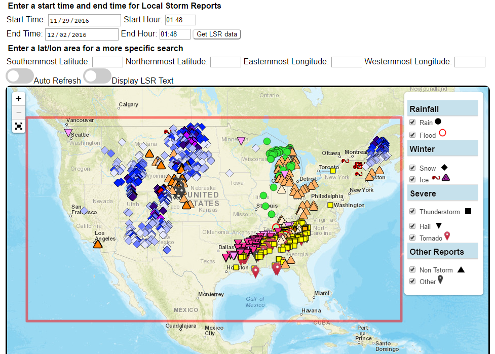
Visualizes the probability of high rain rates that may lead to flash flooding over the next several days at over 60 major U.S. cities.
Interface for specialized WPC Excessive Rainfall Outlook Maps for NWS County Warning Areas and States.
Custom plots of Local Storm Reports across the Contiguous United States. Reports include rain, snow, ice, and severe weather, as well as other significant information from storm spotters.
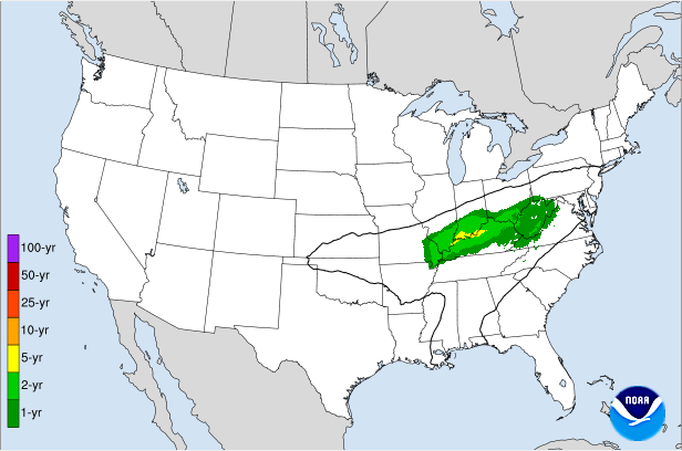
Displays the climatological significance of precipitation forecast by WPC. The climatological significance is represented by Average Recurrence Intervals (ARIs) of precipitation estimates from NOAA Atlas-14 and Atlas2.
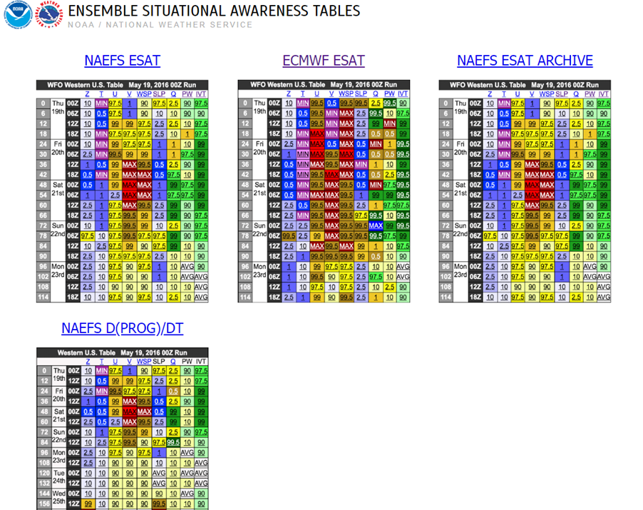
An interactive situational awareness table that displays anomalies, percentiles, and return intervals from the GEFS, NAEFS, and ECMWF Ensembles (login required to view ECMWF data).
*Please note that there is currently an issue where only users on a NOAA network can access this page. We are actively working to resolve this problem.
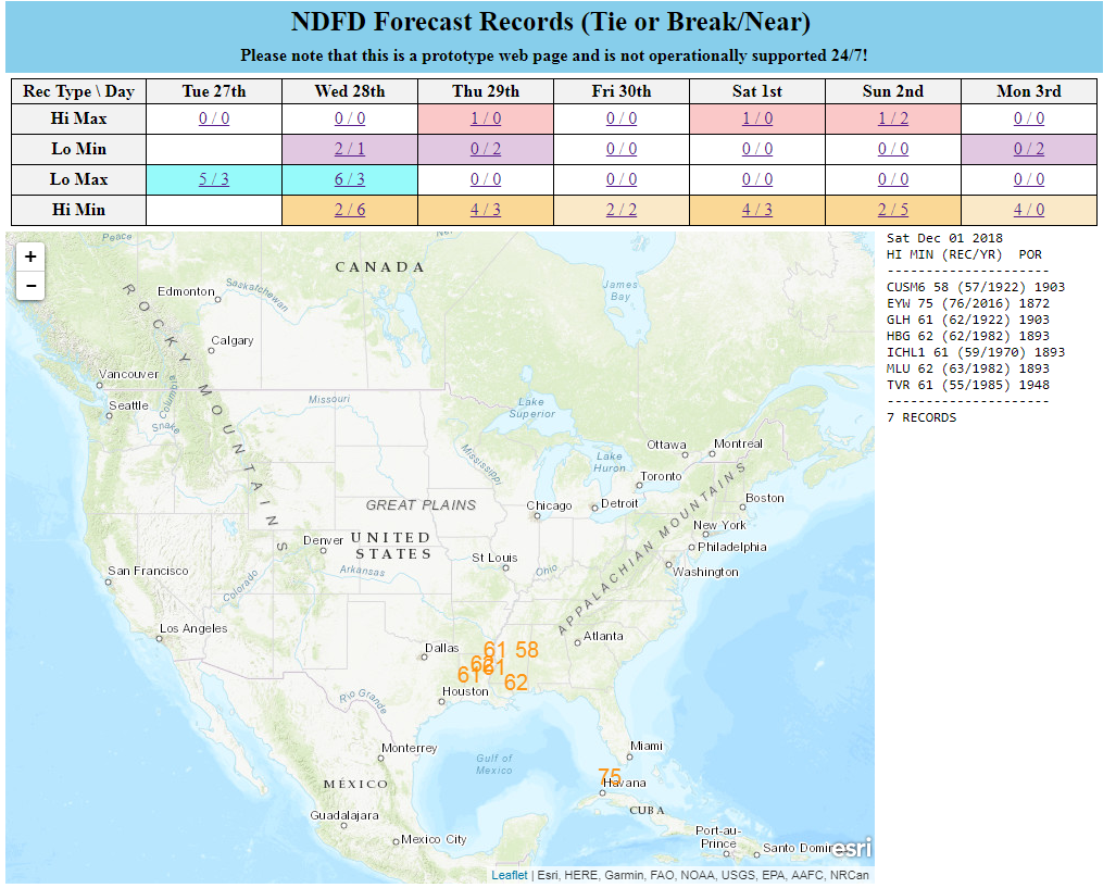
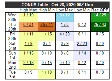
Interactive display of where temperatures could approach or exceed records within the contiguous U.S. (based on NDFD temperature forecasts)
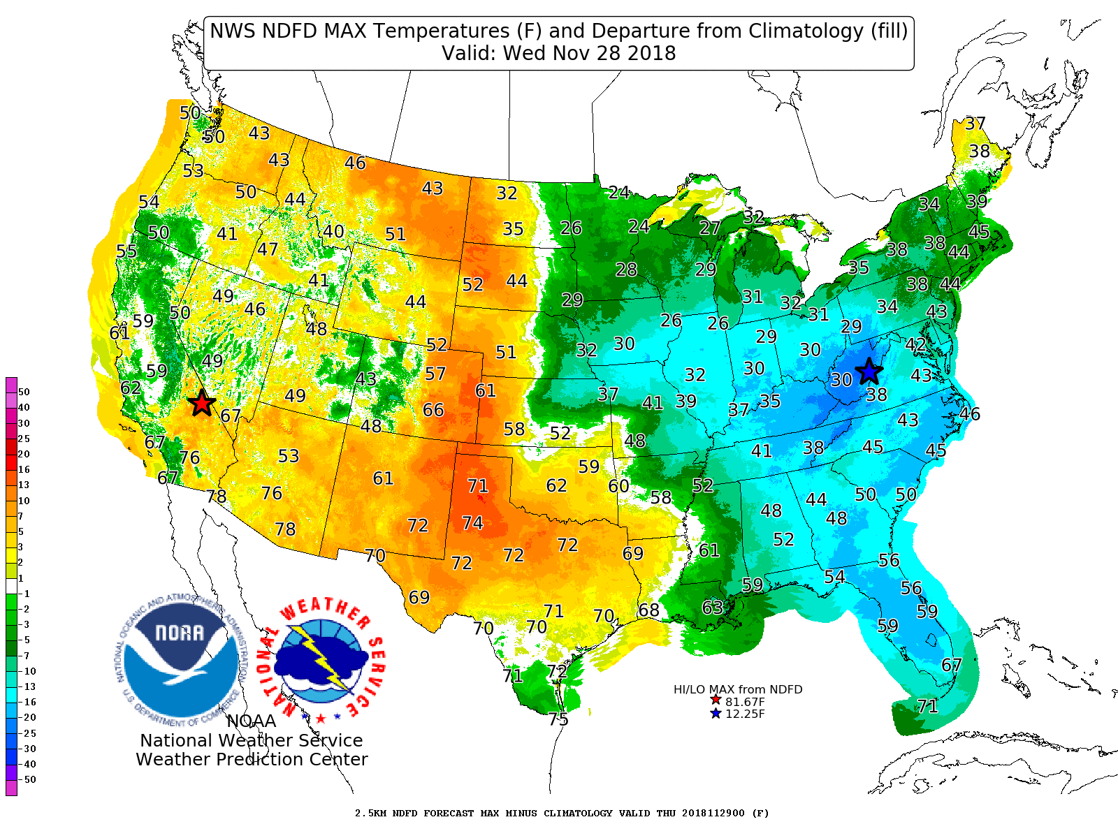
Displays Days 1-7 NDFD maximum and minimum temperatures, along with their respective departures from climatology.
Contains 4 different tools to track precipitation objects (heavy rain and snowfall) from short-range high-resolution deterministic and ensemble guidance.
Displays forecast information and its climatological context to quickly alert a forecaster when a record or neear-record breaking event is possible. This tool is available for both CONUS and Alaska.
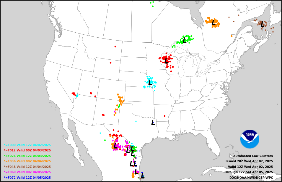
Displays 0-72 hour cyclone forecast positions from global ensemble and deterministic model guidance.
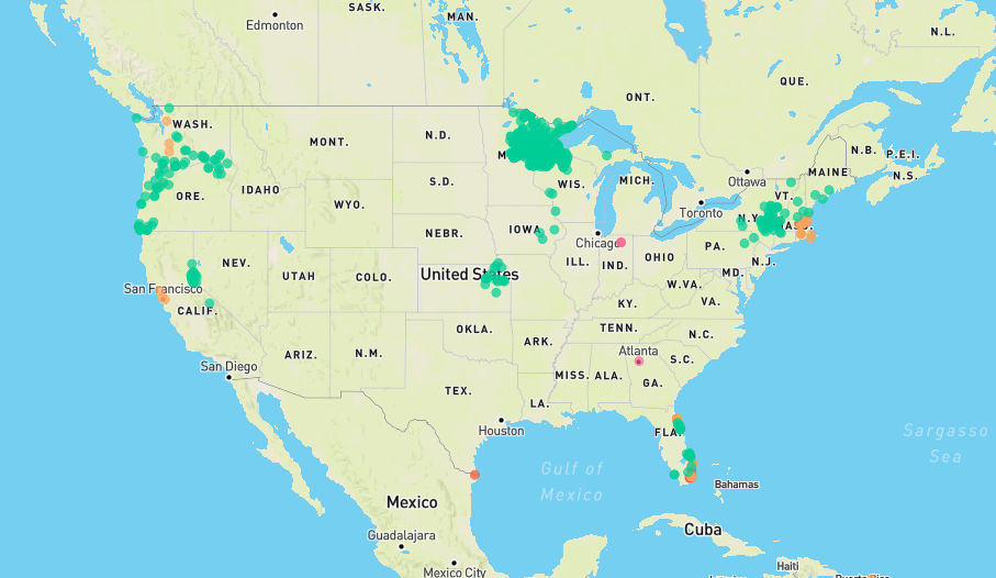
Displays flood and flash flood reports as well as intense rainfall observations for user-selectable time ranges and customizable geographic regions. Includes ability to download reports and associated metadata in csv format.
The experimental National Weather Service (NWS) HeatRisk is a color-numeric-based index that provides a forecast of the potential level of risk for heat-related impacts to occur over a 24-hour period, with forecasts available out through 7 days.
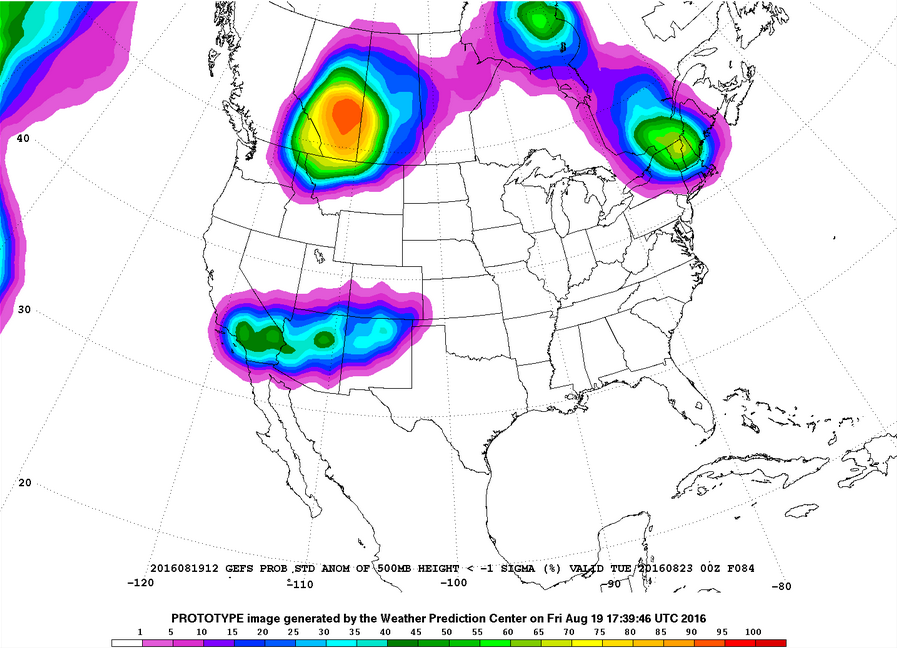
Plots of GEFS probabilistic forecast of precipitation, temperature, and sea-level pressure exceeding various thresholds.
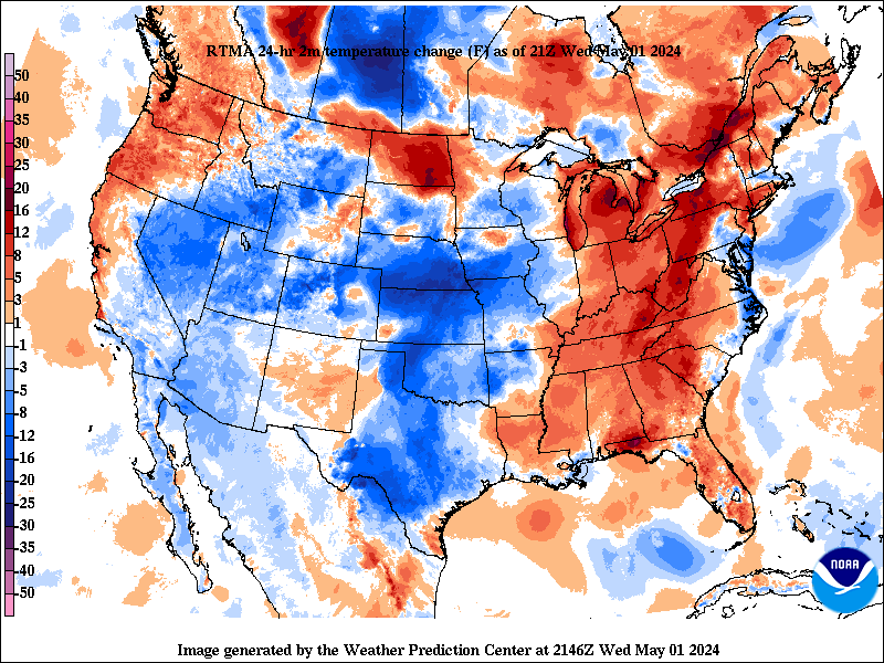
Change in weather parameters (temperature, dewpoint, surface pressure, etc) over the last 1/3/6/24 hours. Data is provided from the Real-Time Mesoscale Analysis (RTMA) or the Rapid Refresh (RAP).
Analog guidance that uses an objective approach to find historical events that are similar to the upcoming forecast.
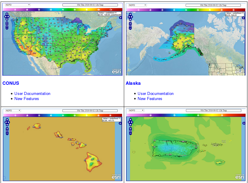
Nationally consistent and skillful suite of calibrated forecast guidance based on a blend of both NWS and non-NWS numerical weather prediction model data and post-processed model guidance.