| January 29 2019 |
Northern Plains to Northeast Winter Storm and Arctic Outbreak (27-30 January, 2019)
By: Amanda Reinhart, WPC Meteorologist
Meteorological Overview:
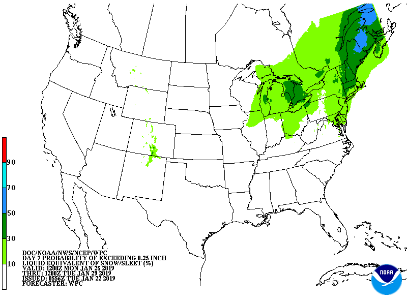
A dynamic shortwave and clipper system slid southward into the northern Plains late Sunday night, 27 January, and continued moving into the Upper Midwest by early Monday, 28 January. Blizzard conditions were experienced in the northern Plains as this low moved into the Upper Midwest. As this system progressed across the Upper Great Lakes, it produced a swath of snow on the lee side of Lake Superior and Lake Michigan—with upwards of 15 to 20 inches delivered to parts of Wisconsin and Michigan. By Tuesday, 29 January, as the surface low deepened, it lifted northeastward into New England. At this time, most of the heavy snow tapered off in the Upper Great Lakes as it shifted to the Lower Great Lakes and New England. Heavy snow increased across this region in addition to portions of the central Appalachians. Rain also changed to snow late Tuesday night and into Wednesday across the Mid-Atlantic region. Downwind of Lake Erie, total snowfall amounts locally exceeded 17 inches. Overall, New England saw snowfall amounts ranging from 6 to 10 inches, with the interior receiving over a foot of snow, and the central Appalachians and Mid-Atlantic recorded 2 to 4 inches of snow.
Farther south, as the Arctic front associated with the surface low moving across the Great Lakes pushed across the Tennessee and Ohio Valleys and Southeast, anafrontal precipitation spread across these regions as cold, Arctic air settled behind this boundary. Areas in central Mississippi received about 1 inch of snow with parts of the southern Appalachians receiving 2 to 3 inches of snow.
As the Arctic air mass settled over the Upper Midwest eastward into the Northeast and Mid-Atlantic behind this strong cold front, record breaking temperatures occurred. In fact, 680 temperature records were tied or broken, particularly across the Upper Midwest and Upper Great Lakes region. Chicago did not break its all-time record for this event; however, it tied 5th for all- time low temperature on the 30th when it reached -18°F. Additionally, this cold air outbreak ranks 4th overall in hours below 0°F (52 hours) for Chicago. In Minnesota, NWS Duluth was monitoring temperatures in the early hours of January 30th as a state record low could have been set. As with Chicago, the record was not broken but came close: the previous record was -60°F set in 1996 and temperatures on the 30th reached -56°F. Wind was also a deadly complement to this brutal cold air, with wind chill values ranging from -40°F to below -60°F across the Upper Midwest and Upper Great Lakes. A state record for Illinois was unofficially set; Mt. Carroll reported a low temperature of -38°F which would break the current record of -36°F set on January 5, 1999. This temperature record is being currently reviewed.
Impacts:
As the low moved across the northern Plains, much of North and portions of South Dakota were under a no-travel advisory due to the blizzard conditions. High winds also impacted the northern and central Plains. The extreme cold air that followed ended up being the biggest hazard of this event. Overall, 21 people died including a college student from the University of Iowa. Cases of frost bite went up in area hospitals and clinics around the Upper Midwest. Additionally, countless schools, businesses and restaurants closed on Thursday because of the extreme cold. Power failures were reported across this region. Finally, over 2,300 flights were cancelled as a result of this event.


