


| February 29 2024 |
Western U.S. Winter Storm: (2/28/24 - 3/3/24)
By: Zack Taylor, WPC Meteorologist
Meteorological Overview:
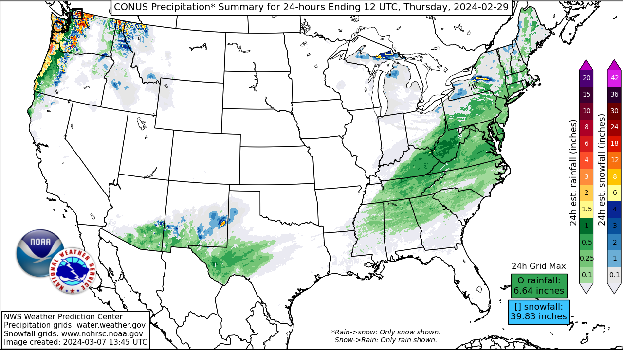
From February 28th to March 3rd, a prolonged and significant precipitation event occurred in the Western U.S., driven by a series of strong Atmospheric Rivers (ARs) and a slow-moving mid-level trough pushing through the region. The initial AR made landfall over the Pacific Northwest on February 27th, generating heavy precipitation along the coasts of southern Washington, Oregon, and far Northern California. Subsequently, a second pulse of moisture transport from a stronger AR led to another period of heavy precipitation conditions in Northern and Central California that persisted for several days. These systems led to substantial snowfall accumulations in the Sierra Nevada.
The winter storm produced significant snowfall across several western U.S. states, ranging from 4 to almost 8 feet in the Northern and Central Sierra Nevada, with localized higher totals near Lake Tahoe. The Olympic Mountains, Cascades, Klamath Mountains, and Southern Sierra Nevada experienced 2 to 4 feet of snowfall. Low snow levels contributed to substantial snowfall (> 12 inches) in the Willapa Hills, Oregon Coast Ranges, and Northern California Coast Ranges. Sugar Bowl and Donner Peak received the highest snow totals, measuring 89.0 and 87.0 inches respectively. Other notable accumulations in California included Soda Springs with 84.0 inches, Kingvale with 73.0 inches, and Mammoth Lakes with 37.0 inches. In neighboring states like Idaho and Montana, snowfall was also substantial, with areas like Victor, ID receiving 26.0 inches and Cooke City, MT reporting 48.0 inches.
In addition to heavy snowfall, the storm brought significant rainfall to coastal areas of California, Oregon, and Washington. Honeydew in California reported the highest rainfall at 7.29 inches, followed by Tillamook, Oregon with 6.79 inches, and Hoodsport, Washington with 6.44 inches. Peak wind gusts were also notable, especially in mountainous regions. Palisades Tahoe Ski Base in California reported a peak wind gust of 145 mph, while Smith, Nevada recorded 99 mph. These strong winds, coupled with heavy snow and rain, posed challenges for residents and travelers alike during the duration of the storm.
This event substantially increased seasonal snowpack in the Sierra Nevada, with stations reporting snow water equivalent increases of 8 to 12 inches over a 5-day period, according to the Center for Western Weather and Water Extremes (CW3E). Snowpack conditions notably improved across basins surrounding the Sierra Nevada, rising from 75–87% to 101–111% of the median according to the CW3E. Western Oregon, particularly the northern Oregon Coast Ranges, also experienced substantial snowpack improvements. By March 4th, snowpack levels were well above normal in portions of the Coast Ranges in Washington, Oregon, and Northern California, as well as in western Nevada, with intermediate elevations in the Sierra Nevada slightly above normal. This increase in snowpack is expected to benefit water supply as the region enters the spring snowmelt season.
Impacts:
As far as impacts, the heavy snow and high winds led to blizzard conditions and treacherous to impossible travel, prompting multi-day closures of Interstate 80 and US-395, with hurricane-force wind gusts along the Sierra crest and reports of gusts exceeding 120 mph at Palisades Tahoe and Mammoth Mountain. In the lower elevations along the coastal region of northern California, the local Weather Forecast Offices reported numerous power outages due to fallen power lines and downed trees, a few of which fell on vehicles and also led to many road closures. Pacific Gas and Electric Company (PG&E) reported that 285,000 customers temporarily lost power during the winter storm. Additionally, scattered convection over the Central Valley resulted in severe thunderstorm and tornado warnings, with one tornado causing minor damage to a local elementary school in Madera County. Heavy rainfall impacting the Bay Area led to several reports of flooded roadways and lane closures.