


| March 08 2019 |
Northern Plains to New England Winter Storm (8-10 March, 2019)
By: Rich Otto, WPC Meteorologist
Meteorological Overview:
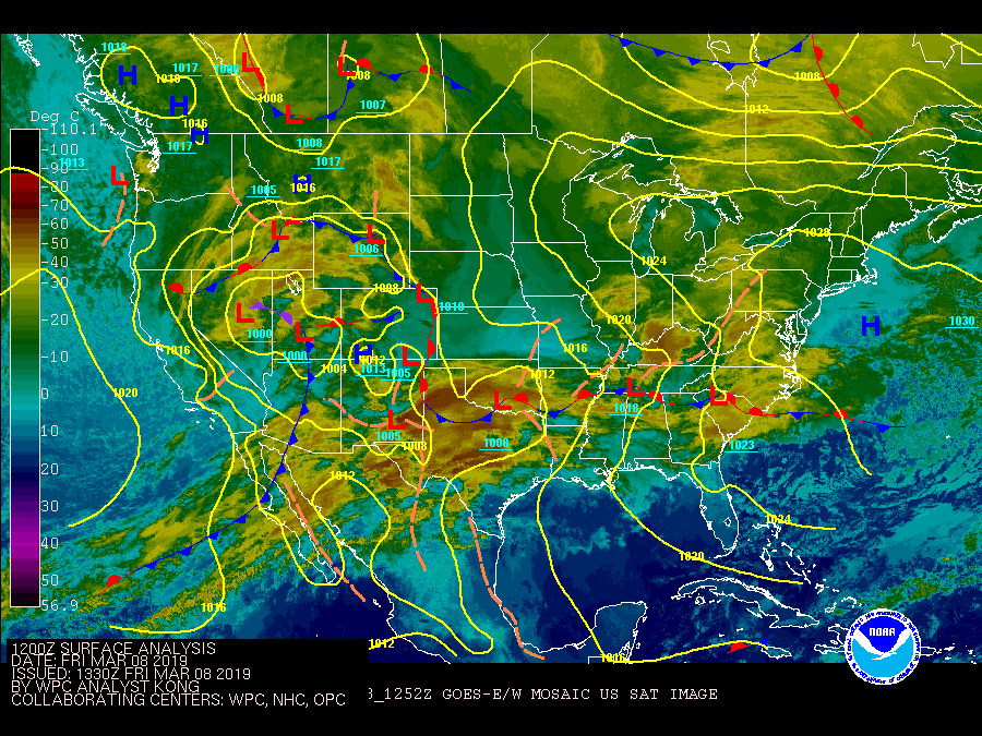
A winter storm affected a large section of the U.S. between 8 March and 10 March bringing hazards of heavy snow, strong winds and mixed precipitation from the Rocky Mountains to New England. Outside of the Rockies, where over two feet of snow was reported, the next highest snowfall totals occurred in western Minnesota where up to 15 inches fell. Remaining areas of Minnesota into the Dakotas reported accumulations generally ranging between 6 and 12 inches.
Snowfall began across the Rocky Mountains out ahead of a strong mid-upper level shortwave trough which entered the western U.S. on 8 March. The 500 hPa trough axis advanced eastward into the plains while acquiring a negative tilt, stretching from eastern Montana to western Oklahoma on 1200 UTC 9 March. Surface cyclogenesis began in eastern Colorado followed by a surface low track from central Kansas on 9 March to Lower Michigan on 10 March, with the low maintaining a pressure between 989 and 993 hPa. Despite the surface low track well south of the upper Midwest, heavy snow focused along an inverted trough axis which extended north-northwest from the low pressure center into the northern Plains. The Dakotas into Minnesota received the greatest snowfall accumulations from this storm system east of the Rockies in part due to the area being placed in a favorable location of enhanced frontogenesis between 850 and 700 hPa within a TROWAL signature beneath diffluent and divergent flow near 250 hPa. While the storm moved through the upper Midwest relatively quickly, intense snowfall rates in excess of 1 inch per hour were followed by gusty winds between 40 and 50 kt at the surface, reducing visibilities within blowing snow.
As the surface low continued northeastward into southern Ontario on 10 March, low level warm advection ahead an advancing warm front met with a cold and dry airmass in place over New England. 850 hPa winds in excess of 50 kt at times advected warm air aloft from the south, leading to a mixture of precipitation types for New England, beginning as snow but changing to a mixture of sleet and freezing rain before ending as rain for many locations late in the day on 10 March. The quick moving nature of the storm system combined with the changeover from frozen to liquid precipitation types reduced accumulations of snow to roughly two to four inches for the New England region.
Impacts:
The greatest snowfall accumulation from the winter storm, east of the Rockies, was reported 6.0 miles south of Lake Park, MN with 15.6 inches. Some of the greatest impacts from the winter storm were related to travel. Reduced visibilities from blowing snow and vehicle accidents resulted in the closure of Interstate 80 in Wyoming and South Dakota as well as Interstate 29 in South Dakota. Travel disruptions due to cancelled flights were also common across the region.
Roof collapses of businesses were also reported across sections of North Dakota and Minnesota due to the weight of heavy snow. Increased winds in the wake of the storm brought down power lines across the upper Midwest to thousands of customers. Power disruptions were not limited to the upper Midwest as light snow and ice accumulations combined with gusty winds caused power outages in New York and New England as well.