


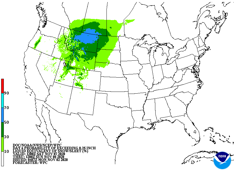
| November 08 2020 |
November Montana Blizzard: (11/7 - 11/9)
By: Bryan Jackson, WPC Meteorologist
Meteorological Overview:
A blizzard struck north-central Montana late Saturday, November 7 into Monday, November 9, 2020. The combination of heavy snow and high winds for over 30 hours made this a particularly harsh event. Daily snowfall records as well as a daily wind average record were broken for November 8 in north-central Montana. The broad area affected by components of the storm also resulted in heavy mountain snows for nearly the entire Intermountain West.
The first component of this complex winter storm was an impulse in zonal flow that brought a cold front into Montana late Thursday which remained a surface boundary into the weekend and an important feature for the event. A potent shortwave trough approached the Pacific Northwest on the backside of the zonal flow on Thursday which closed into an upper low as it turned south down the Oregon coast Thursday night and continued into central California through Friday night. The positively tilted, full-latitude trough around this low allowed broad Pacific flow to continue to pump abundant moisture across the western U.S. Record warmth (temperatures in the 60s and 70s) was observed over much of Montana Thursday into Friday ahead of the initial cold front that settled across Montana through Friday before stalling near Montana’s southern border through Saturday. A reinforcing shortwave trough surged south from British Columbia over central Washington Saturday. The approach of this reinforcing wave opened the primary low and forced it to eject northeast from southern Nevada over the eastern Great Basin, reaching Wyoming by Sunday morning and the Montana/Saskatchewan border by late Sunday. The reinforcing flow closed over central Oregon Saturday night allowing it to become the dominant low. This low took a similar track to the previous one, reaching interior central California on Sunday. At the surface, high pressure was centered over Yukon Territory Thursday night into Saturday before shifting south across British Columbia and Alberta Sunday. As this high strengthened from around 1025mb to 1035mb on Friday its influence on the western Candian Prairies increased until cold, Arctic air spilled down the eastern side of the Canadian Rockies in Alberta Saturday through Sunday. The primary surface low ahead of the ejecting primary wave lifted northeast into western Wyoming Saturday evening and underwent lee side cyclogenesis as it slowly tracked through northeast Wyoming during the rest of the night.
Here is how these ingredients came together to make the blizzard. The developing western trough placed favorable left jet exit region forcing over Montana by Saturday which aided upward motion. Low level southerly flow lifting over the now stationary boundary across southern Montana allowed precipitation onset over north-central Montana by late Saturday afternoon. Arctic air from Canada arrived in north-central Montana about that time, causing precipitation to begin as snow in northern Montana and to quickly change to snow in central Montana. Blizzard conditions developed Saturday evening as the pressure gradient increased between the developing lee side low in Wyoming and the surface ridge pushing in from Alberta. Forcing and moisture influence over north-central Montana reached its peak Sunday morning as the advancing mid-level trough axis approached from Wyoming. Upper level difluence reached its maximum as the surface low (now lifting north through the western Dakotas) sent a broad and potent warm conveyor belt across most of Montana. The presence of the reinforcing and now dominant low over central California on Sunday slowed the ejecting wave, allowing it to close off over the central Canadian Prairies and kept its track farther northwest than if there were no secondary low. The slow motion of this primary wave allowed precipitation to continue into Sunday night, though less forcing and moisture shunted farther east caused snow rates to decrease. Furthermore, the pressure gradient diminished as the Arctic surface high settled over southern Alberta, allowing winds to ease below blizzard thresholds. The secondary low opened and ejected east over the Great Basin Sunday night. The last band of snow in Montana, per regional radar archive was right over the Great Falls radar until it dissipated early Monday morning.
Impacts:
Broadly speaking, widespread snow of 6 to 18 inches fell across much of the plains in the northern half of Montana over the 36 hours of this event. Drifts of several feet in height were reported across north-central Montana. Similar snowfall was estimated to have fallen in the higher terrain over much of the Intermountain West from the San Bernardino mountains of southern California, across most of the Sierra Nevada, the highest parts of the northern Arizona Mountains, many Great Basin ranges including the Wasatch and Uinta in Utah as well as the central and northern Rockies. Snowfall of 24 inches or more were estimated in the highest San Juan Mountains of southwest Colorado which was immediately downstream of the trough axis for much of Sunday and Monday. However, the Arctic air was contained to Montana where the snow levels were lowest and outside of terrain.
Strong northwesterly winds occurred Saturday evening through Sunday with the three main METARs of north-central Montana (Cut Bank - KCTB, Havre - KHVR, and Great Falls - KGTF) all reporting 18 to 24 hours of winds gusting 35 mph to 50 mph (55 mph for Cut Bank) through this time. The definition of a blizzard is 35 mph winds or frequent gusts along with ¼ mile or less visibility from snow for 3 or more hours. While these airports certainly met the wind threshold, the precipitation mode was fairly banded, so consistent heavy snow was lacking at these particular sites and only Cut Bank met the blizzard criteria for three hours around midday Sunday. However, blizzard conditions are estimated to have occurred over much of central and north-central Montana in this storm. In addition, several records were broken that weekend. Great Falls set a daily record for snow of 4.5 inches on November 7. This was followed up by an additional 8 inches on the 8th, which is now the second highest for that date in the Great Falls record. Five reporting stations in north-central Montana set daily snowfall records on November 8 including Havre with 8 inches. Havre also set a record for highest daily average wind of 21.5 mph for November 8.
This November weekend blizzard caused dangerous road conditions and widespread power outages across north-central Montana. Interstate 15 north of Power, MT (which is north of Great Falls) was fully blocked Sunday morning due to crashes. According to the Great Falls National Weather Service forecast office, “There were numerous instances of severe driving reports throughout the region, along with some road closures, mostly along the Rocky Mountain Front and portions of Judith Basin and Fergus Counties.” Air temperatures fell into the teens and combined with the strong winds for sub-zero wind chill values which worsened travel conditions. Power outages occurred for at least a few thousand customers in the Greater Great Falls area Saturday night with at least 12,000 power outages reported statewide Sunday morning.