


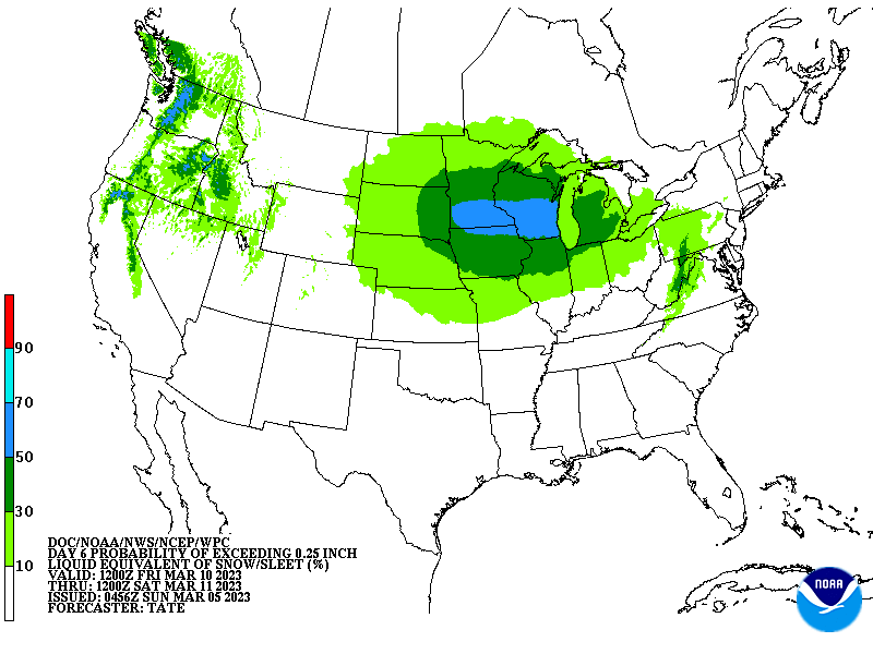
| March 11 2023 |
Northern Plains to Northeast Winter Storm: (3/11 - 3/14)
By: Josh Weiss, WPC Meteorologist
Meteorological Overview:
An anomalous 500mb closed low advected onshore the Pacific Northwest on Friday, March 10, and then weakened slightly before lifting into the Northern Plains by March 11. This upper low then began to re-intensify, reaching below -2 standard deviations from the climatological mean as it dropped southeast towards the Great Lakes on March 13. This upper low then continued to advect eastward into the interior Mid-Atlantic and Northeast, while at the same time shedding lobes of vorticity cyclonically to the east to produce an increasingly negative tilt to the trough. This upper low closed off over the Mid-Atlantic and Northeast on March 14 before very slowly exiting the New England coast March 15.
The resultant height falls, mid-level divergence, and increasingly impressive PVA associated with this upper low evolution combined with the persistent LFQ of a 100-125kt 250mb subtropical jet streak to produce impressive deep layer ascent from the Northern Plains through the Great Lakes and into the Northeast. This led to a strengthening area of low pressure moving across the Northern Plains and Upper Midwest from March 11 - March 12, with this low then occluding as it became vertically stacked beneath the upper low over MI. At the same time, the potent vorticity lobe swinging through the trough combined with the core of the upper jet streak led to secondary low-pressure development off the NC/VA coast in a “Miller-B” type setup. This secondary low pressure quickly became the dominant low March 13, and then lifted slowly northeast near the 40/70 benchmark on Tuesday March 14, stalling briefly, and then exiting into the Canadian Maritimes on March 15.
During the evolution of the primary low pressure moving from ND through MI, moisture transport increased from the Gulf of Mexico on southerly 850mb winds reaching 25-35 kts. This warm/moist advection overran a leading warm front to produce enhanced isentropic upglide and modest low-level frontogenesis to drive a band of moderate to heavy snow north of the surface low track. Snowfall rates within this band were generally less than 1”/hr, but some local enhancement across the Arrowhead of MN occurred as additional moisture from Lake Superior was transported into the Iron Ranges to increase snowfall. During the first phase of this system, from March 11 - 13, this band produced a general 4-8 inch swath of snow from eastern ND through WI, with locally up to 16 inches falling along the Arrowhead.
The more significant snowfall occurred with the secondary low pressure moving along the Mid-Atlantic and Northeast coasts. This surface low intensified rapidly as the impressive deep layer synoptic lift interacted with the baroclinic gradient offshore. This rapidly deepening low within the negatively tilted trough produced robust low-level moisture advection, with precipitable water anomalies reaching above +1 standard deviation, fueled by moist 290-295K isentropic upglide with mixing ratios of 4g/kg. At the same time, the strengthening low drove 850mb U-wind anomalies to -4 standard deviations, indicating the intensity of the easterly flow off the ocean and into New England, especially March 13-14. The resultant theta-e ridge then lifted cyclonically into an impressive TROWAL, which sustained elevated instability to produce convective snow rates of 2”+/hr within a pivoting deformation band. This band moved from eastern Upstate NY through central New England, leading to the heaviest snowfall accumulations.
While this evolution had all the elements in place for a blockbuster Nor’easter, the March sun angle, an antecedent column that was only marginally cold for snow, and the intense onshore flow, resulted in extremely low SLRs and heavy snow that ended up being confined to the higher terrain of interior New England and Upstate NY. While Boston and New York City received minimal snowfall accumulations, locations just inland, as close as the Worcester Hills and Catskills, accumulated 2-3 feet of snow, with locally more than 3 feet occurring in the Berkshires and southern Green Mountains. Widespread 6-12” of snow occurred across the eastern ⅔ of Upstate New York, nearly all of Central New England, and as far east as the coast of Maine.
Impacts:
During the first part of the system, March 11-13, across the Northern Plains and Upper Midwest, many locations from eastern ND through MN and into WI received 6-12 inches of snow. The heaviest snowfall occurred from near Duluth, MN northeast into the Arrowhead where 12-16” of snow was measured, including 12.5” at the NWS office in Duluth. This heavy snow led to a roof collapse at the Miller Hill Mall in Duluth. This heavy snow was accompanied by strong winds, resulting in blizzard conditions across ND which led to the complete closure of I-94 during the height of the storm. Additionally, the Monday, March 13, morning commute around Green Bay, WI was extremely challenging as more than 9” of snow resulted in dozens of accidents, including two jackknifed tractor trailers which briefly closed a portion of I-43.
In the Northeast, impacts were more significant. The heavy and wet snow brought down numerous trees and power lines, resulting in more than 300,000 power outages across Upstate NY and New England, some of which lasted for more than two days. The weight of the snow was so great that it even toppled a high-transmission tower in Greenfield, MA, and I-93 in Londonderry, NH was closed due to power lines collapsing onto the highway. The prolonged power outages led to NY EMA opening warming shelters near Albany, NY.
Transportation was also severely impacted. In the air, more than 1000 flights were canceled between March 13-14 across the Northeast, including 300 at both LGA and BOS with a temporary ground stop put into effect at LGA. At Syracuse Hancock International Airport, a plane carrying 58 passengers slid off the runway, but fortunately there were no injuries. On the roads, NY DOT issued a travel ban for any empty tractor trailers, and chain restrictions were put into place. States of Emergency were enacted for MA, NH, and VT, and more than 120 crashes were reported in just NH alone. The highest measured snowfall rates reached 2.5” in 1 hr in Piseco, NY, and the highest accumulation reported was 42” in Roseboro, VT. This heavy and wet snow led to a roof collapse at a barn in Dracut, MA which killed several cows.