


| October 09 2019 |
Northern Rockies to Northern Plains Winter Storm (Oct 8-12, 2019)
By: Sean Ryan, WPC Meteorologist
Meteorological Overview:
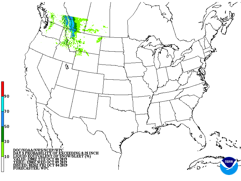
A vigorous, positively-tilted mid/upper-level shortwave moved southeastward from coastal British Columbia into the northwestern U.S. on 8 October. As the shortwave moved across the Northwest, northern Great Basin, and northern Rockies on 9-10 October, it quickly amplified as it passed through a broad region of cyclonically-curved flow. As the system crossed the northern Rockies, it produced widespread snowfall, with many higher terrain areas of Idaho, Montana, and Wyoming receiving 1-2 feet of snow. By late on 10 October, as the system began to exit from the northern Rockies into the northern plains and underwent additional vortex stretching, a relatively deep low closed off at the mid and upper-levels. A very pronounced westward slope with respect to height was observed as the system crossed the Northern Plains, promoting the development of a deep surface cyclone across the Upper Midwest on 11-12 October. Due to warmer air ahead of the system, many areas across the Northern Plains and Upper Midwest received heavy rains before precipitation later changed over to snow.
As the surface low developed along the front across northern Minnesota early on 11 October and moved northeast into Ontario, rapid deepening of the mid/upper-level low across South Dakota caused the surface low to retrograde into northern Minnesota for a period of 12-18 hours. During this period of retrogression, the surface low rapidly occluded and continued to deepen, reaching a peak intensity of 990 hPa at 06 UTC on 12 October across northwestern Minnesota. The development of a band of strong frontogenetic forcing west of the surface low during the period of retrogression resulted in an extended period of moderate to heavy snowfall across the Dakotas - North Dakota in particular. Additionally, the intense nature of the system resulted in high winds, which combined with the snowfall to create blizzard conditions across the Dakotas. Wind gusts exceeded 60 mph in several locations. By 12 UTC on 12 October, the system became vertically stacked across northwestern Minnesota, and thus began a gradual weakening trend. The surface low lingered across northern Minnesota into the evening on 12 October, drifting slowly eastward with continued light to moderate snowfall. The heaviest snowfall total reported from this event was 30 inches near Harvey, North Dakota. Snowfall totals between 1-2 feet were widespread across the eastern half of North Dakota and portions of northern South Dakota. For a few NWS COOP locations in North Dakota with records going back more than 100 years, this event ranked as the highest snowfall total from a single storm.
Impacts:
According to NWS Storm Data, heavy snow and blizzard conditions caused portions of Interstate 94 to be closed in North Dakota. Across the Devils Lake region, snow drifts reached as high as the roofs of one-story buildings. Some motorists became stranded and had to be rescued. Additionally, the storm had devastating agricultural effects across North Dakota, where the heavy snow, combined with recent wet conditions, made it difficult or impossible for farmers to finish their sugar beet and potato harvests. Other significant impacts across North Dakota included tree damage, power outages, river flooding, and basement flooding. In portions of South Dakota, travel was also significantly disrupted or halted, with a number of accidents, and many schools closed or cancelled. Additionally, several high profile vehicles were blown over by the high winds.